Estimated Value: $258,000 - $405,000
3
Beds
2
Baths
2,002
Sq Ft
$180/Sq Ft
Est. Value
About This Home
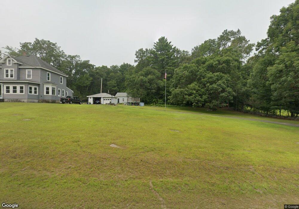
This home is located at 275 Palmer Rd, Ware, MA 01082 and is currently estimated at $359,719, approximately $179 per square foot. 275 Palmer Rd is a home located in Hampshire County with nearby schools including Stanley M. Koziol Elementary School, Ware Middle School, and Ware Junior/Senior High School.
Ownership History
Date
Name
Owned For
Owner Type
Purchase Details
Closed on
Jul 8, 1998
Sold by
Desmarias Richard W and Desmarias Roxanne L
Bought by
Desmarias Richard W
Current Estimated Value
Home Financials for this Owner
Home Financials are based on the most recent Mortgage that was taken out on this home.
Original Mortgage
$35,000
Outstanding Balance
$7,175
Interest Rate
7.02%
Mortgage Type
Purchase Money Mortgage
Estimated Equity
$352,544
Create a Home Valuation Report for This Property
The Home Valuation Report is an in-depth analysis detailing your home's value as well as a comparison with similar homes in the area
Home Values in the Area
Average Home Value in this Area
Purchase History
| Date | Buyer | Sale Price | Title Company |
|---|---|---|---|
| Desmarias Richard W | $57,500 | -- |
Source: Public Records
Mortgage History
| Date | Status | Borrower | Loan Amount |
|---|---|---|---|
| Open | Desmarias Richard W | $35,000 |
Source: Public Records
Tax History
| Year | Tax Paid | Tax Assessment Tax Assessment Total Assessment is a certain percentage of the fair market value that is determined by local assessors to be the total taxable value of land and additions on the property. | Land | Improvement |
|---|---|---|---|---|
| 2025 | $5,244 | $348,200 | $60,500 | $287,700 |
| 2024 | $5,018 | $307,300 | $57,000 | $250,300 |
| 2023 | $4,905 | $284,200 | $55,800 | $228,400 |
| 2022 | $4,698 | $242,900 | $51,600 | $191,300 |
| 2021 | $4,458 | $220,900 | $51,600 | $169,300 |
| 2020 | $4,382 | $212,400 | $51,600 | $160,800 |
| 2019 | $4,293 | $212,400 | $51,600 | $160,800 |
| 2018 | $4,107 | $198,300 | $50,400 | $147,900 |
| 2017 | $4,050 | $195,000 | $50,400 | $144,600 |
| 2016 | $3,941 | $195,000 | $50,400 | $144,600 |
| 2015 | $3,832 | $195,000 | $50,400 | $144,600 |
| 2014 | $3,719 | $203,100 | $54,900 | $148,200 |
Source: Public Records
Map
Nearby Homes
- 310 Palmer Rd
- 201 West St
- LOT 3 Monson Turnpike Rd
- 201 Belchertown Rd
- 24 Clinton St
- 87 W Main St
- 30 Warebrook Village
- 67 Babcock Tavern Rd
- 375 Belchertown Rd
- Lot 16 Coldbrook Dr
- Lot 20 Coldbrook Dr
- Lot 22 Coldbrook Dr
- Lot 13 Coldbrook Dr
- Lot 25 Coldbrook Dr
- 23 West St Unit 25
- 7 Webb Ct
- 60 Quaboag Valley Co Op St
- 44 South St
- 378 Rondeau St
- 48 North St Unit 1
Your Personal Tour Guide
Ask me questions while you tour the home.