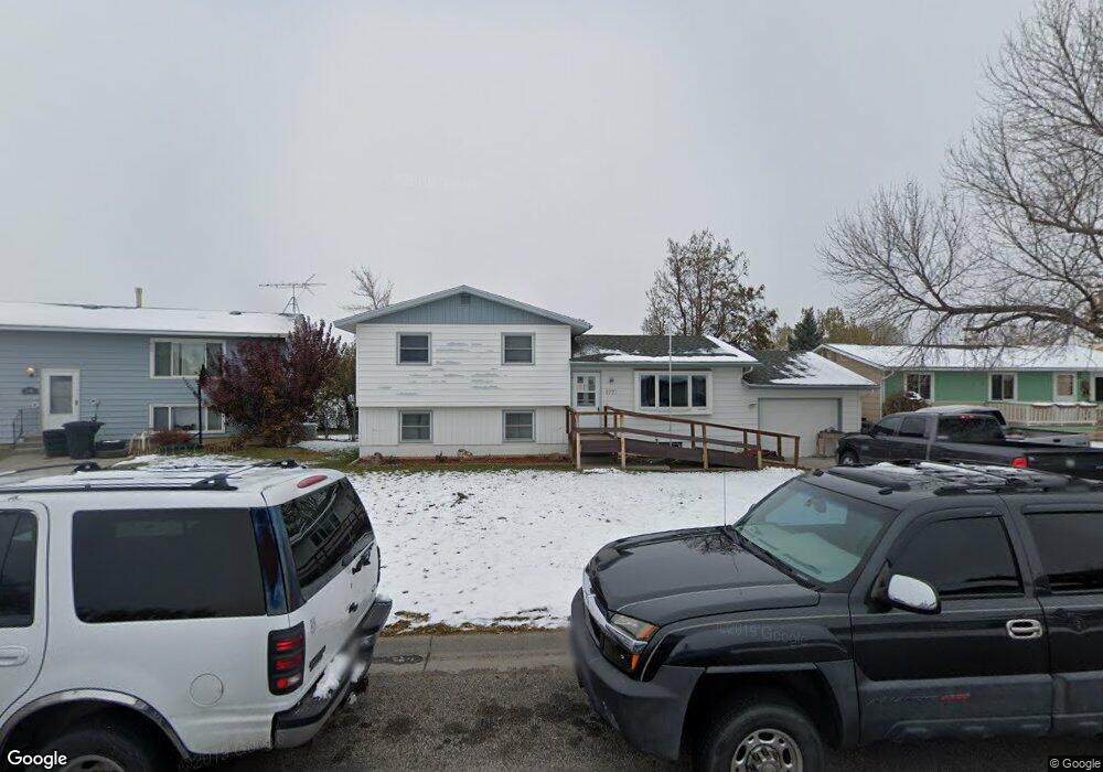
2771 Phyllis Cir N Billings, MT 59102
West End NeighborhoodEstimated Value: $311,000 - $342,000
4
Beds
2
Baths
1,072
Sq Ft
$306/Sq Ft
Est. Value
About This Home
This home is located at 2771 Phyllis Cir N, Billings, MT 59102 and is currently estimated at $328,063, approximately $306 per square foot. 2771 Phyllis Cir N is a home located in Yellowstone County with nearby schools including Central Heights School, Will James Junior High School, and Billings West High School.
Ownership History
Date
Name
Owned For
Owner Type
Purchase Details
Closed on
May 25, 2021
Sold by
Hoppe Harold H
Bought by
Truesdell Krystal and Truesdell Talon
Current Estimated Value
Home Financials for this Owner
Home Financials are based on the most recent Mortgage that was taken out on this home.
Original Mortgage
$202,268
Outstanding Balance
$182,524
Interest Rate
3.1%
Mortgage Type
FHA
Estimated Equity
$145,539
Create a Home Valuation Report for This Property
The Home Valuation Report is an in-depth analysis detailing your home's value as well as a comparison with similar homes in the area
Home Values in the Area
Average Home Value in this Area
Purchase History
| Date | Buyer | Sale Price | Title Company |
|---|---|---|---|
| Truesdell Krystal | -- | First Montana Title Company |
Source: Public Records
Mortgage History
| Date | Status | Borrower | Loan Amount |
|---|---|---|---|
| Open | Truesdell Krystal | $202,268 |
Source: Public Records
Tax History Compared to Growth
Tax History
| Year | Tax Paid | Tax Assessment Tax Assessment Total Assessment is a certain percentage of the fair market value that is determined by local assessors to be the total taxable value of land and additions on the property. | Land | Improvement |
|---|---|---|---|---|
| 2025 | $2,908 | $353,100 | $45,013 | $308,087 |
| 2024 | $2,908 | $304,800 | $46,207 | $258,593 |
| 2023 | $2,904 | $304,800 | $46,207 | $258,593 |
| 2022 | $2,596 | $238,900 | $0 | $0 |
| 2021 | $2,467 | $238,600 | $0 | $0 |
| 2020 | $2,467 | $223,600 | $0 | $0 |
| 2019 | $2,355 | $223,600 | $0 | $0 |
| 2018 | $2,377 | $222,200 | $0 | $0 |
| 2017 | $2,308 | $222,200 | $0 | $0 |
| 2016 | $2,036 | $196,800 | $0 | $0 |
| 2015 | $1,991 | $196,800 | $0 | $0 |
| 2014 | $1,713 | $89,093 | $0 | $0 |
Source: Public Records
Map
Nearby Homes
- 260 Brookshire Blvd
- 2916 Monad Rd
- 14 Bonanza Dr
- 12 Golden Butte Dr
- 2968 Daystar Dr
- 2 Mcbride St
- 3087 Hunters Ridge Loop
- 3030 Hunters Ridge Loop
- 3121 New Hope Dr
- 3121 New Hope Dr Unit 9
- 3175 Solar Blvd Unit 14
- 2930 Lynn Ave
- 3129 Stillwater Dr
- 499 Greenspring Place
- 3482 Shenandoah Dr
- 3468 Shenandoah Dr
- 3291 Banff Ave
- 3297 Banff Ave Unit 10
- 3340 Tahoe Dr
- 603 S 22nd St W
- 2761 Phyllis Cir N
- 2781 Phyllis Cir N
- 2751 Phyllis Cir N
- 2762 Phyllis Cir N
- 2791 Phyllis Cir N
- 2764 Phyllis Cir N
- 2741 Phyllis Cir N
- 314 Phyllis Cir W
- 333 Phyllis Cir W
- 324 Phyllis Cir W
- 2731 Phyllis Cir N
- 343 Phyllis Cir W
- 334 Phyllis Cir W
- 2721 Phyllis Cir N
- 2775 Phyllis Cir S
- 2722 Phyllis Cir N
- 351 Phyllis Cir W
- 2773 Phyllis Cir S
- 2711 Phyllis Cir N
- 354 Phyllis Cir W