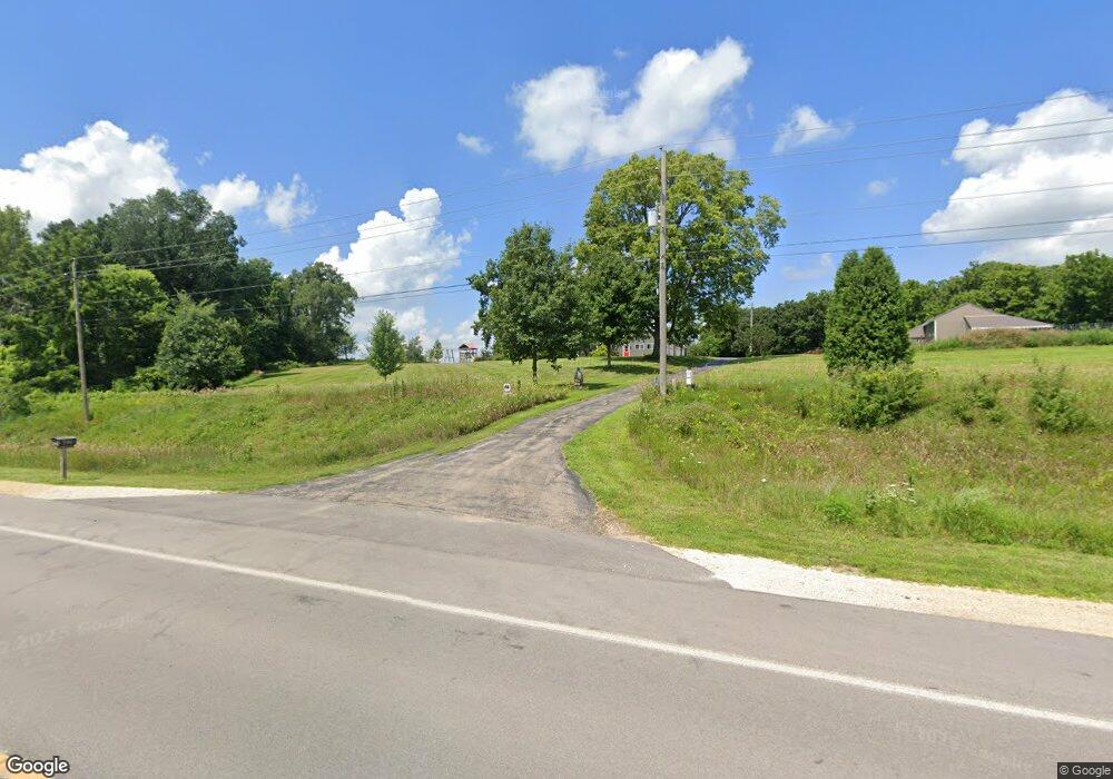
2782 Highway 67 Camanche, IA 52730
Estimated Value: $262,000 - $503,849
3
Beds
3
Baths
2,712
Sq Ft
$138/Sq Ft
Est. Value
About This Home
This home is located at 2782 Highway 67, Camanche, IA 52730 and is currently estimated at $374,950, approximately $138 per square foot. 2782 Highway 67 is a home located in Clinton County with nearby schools including Camanche Elementary School, Camanche Middle School, and Camanche High School.
Ownership History
Date
Name
Owned For
Owner Type
Purchase Details
Closed on
Mar 4, 2014
Sold by
Stamp Gloria
Bought by
Sharp Daniel A and Sharp Elizabeth A
Current Estimated Value
Home Financials for this Owner
Home Financials are based on the most recent Mortgage that was taken out on this home.
Original Mortgage
$57,816
Outstanding Balance
$43,526
Interest Rate
4.24%
Mortgage Type
Future Advance Clause Open End Mortgage
Estimated Equity
$331,424
Create a Home Valuation Report for This Property
The Home Valuation Report is an in-depth analysis detailing your home's value as well as a comparison with similar homes in the area
Home Values in the Area
Average Home Value in this Area
Purchase History
| Date | Buyer | Sale Price | Title Company |
|---|---|---|---|
| Sharp Daniel A | -- | None Available |
Source: Public Records
Mortgage History
| Date | Status | Borrower | Loan Amount |
|---|---|---|---|
| Open | Sharp Daniel A | $57,816 |
Source: Public Records
Tax History Compared to Growth
Tax History
| Year | Tax Paid | Tax Assessment Tax Assessment Total Assessment is a certain percentage of the fair market value that is determined by local assessors to be the total taxable value of land and additions on the property. | Land | Improvement |
|---|---|---|---|---|
| 2025 | $5,542 | $428,920 | $51,350 | $377,570 |
| 2024 | $5,542 | $403,120 | $51,350 | $351,770 |
| 2023 | $5,414 | $403,120 | $51,350 | $351,770 |
| 2022 | $3,856 | $360,620 | $51,350 | $309,270 |
| 2021 | $3,776 | $259,070 | $32,270 | $226,800 |
| 2020 | $3,776 | $248,270 | $32,270 | $216,000 |
| 2019 | $2,908 | $211,500 | $0 | $0 |
| 2018 | $2,944 | $211,500 | $0 | $0 |
| 2017 | $3,262 | $201,860 | $0 | $0 |
| 2016 | $3,026 | $208,800 | $0 | $0 |
| 2015 | $3,026 | $191,330 | $0 | $0 |
| 2014 | $2,802 | $190,830 | $0 | $0 |
| 2013 | $2,754 | $0 | $0 | $0 |
Source: Public Records
Map
Nearby Homes