2796 Long Branch Rd Eagle Point, OR 97524
Estimated Value: $601,050 - $695,000
3
Beds
2
Baths
2,274
Sq Ft
$285/Sq Ft
Est. Value
About This Home
This home is located at 2796 Long Branch Rd, Eagle Point, OR 97524 and is currently estimated at $648,025, approximately $284 per square foot. 2796 Long Branch Rd is a home located in Jackson County with nearby schools including Shady Cove School, Eagle Point Middle School, and White Mountain Middle School.
Ownership History
Date
Name
Owned For
Owner Type
Purchase Details
Closed on
Dec 12, 2007
Sold by
Hall Jeff and Hall Sherri
Bought by
Bowse Carol Jane Shock
Current Estimated Value
Purchase Details
Closed on
Aug 25, 2003
Sold by
Hunter Laurie A
Bought by
Hall Jeff and Hall Sherri
Home Financials for this Owner
Home Financials are based on the most recent Mortgage that was taken out on this home.
Original Mortgage
$220,000
Interest Rate
5.6%
Mortgage Type
Unknown
Purchase Details
Closed on
May 24, 2001
Sold by
Smiley Michael B and Smiley Lisa K
Bought by
Hunter Laurie A
Create a Home Valuation Report for This Property
The Home Valuation Report is an in-depth analysis detailing your home's value as well as a comparison with similar homes in the area
Home Values in the Area
Average Home Value in this Area
Purchase History
| Date | Buyer | Sale Price | Title Company |
|---|---|---|---|
| Bowse Carol Jane Shock | $510,000 | Amerititle | |
| Hall Jeff | $275,000 | Amerititle | |
| Hunter Laurie A | $256,500 | Lawyers Title Insurance Corp |
Source: Public Records
Mortgage History
| Date | Status | Borrower | Loan Amount |
|---|---|---|---|
| Previous Owner | Hall Jeff | $220,000 |
Source: Public Records
Tax History Compared to Growth
Tax History
| Year | Tax Paid | Tax Assessment Tax Assessment Total Assessment is a certain percentage of the fair market value that is determined by local assessors to be the total taxable value of land and additions on the property. | Land | Improvement |
|---|---|---|---|---|
| 2025 | $3,522 | $316,530 | $97,300 | $219,230 |
| 2024 | $3,522 | $307,320 | $94,470 | $212,850 |
| 2023 | $3,407 | $298,370 | $91,720 | $206,650 |
| 2022 | $3,302 | $298,370 | $91,720 | $206,650 |
| 2021 | $3,202 | $289,680 | $89,050 | $200,630 |
| 2020 | $3,469 | $281,250 | $86,460 | $194,790 |
| 2019 | $3,423 | $265,110 | $81,500 | $183,610 |
| 2018 | $3,344 | $257,390 | $79,140 | $178,250 |
| 2017 | $3,078 | $257,390 | $79,140 | $178,250 |
| 2016 | $2,977 | $242,630 | $74,600 | $168,030 |
| 2015 | $2,696 | $227,610 | $74,600 | $153,010 |
| 2014 | $2,318 | $190,020 | $68,130 | $121,890 |
Source: Public Records
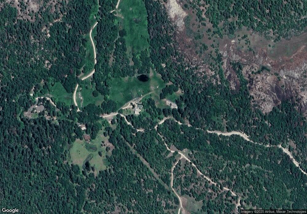
Map
Nearby Homes
- 5845 Rhodes Ln
- 363 Kitty Dr
- 218 Long Branch Rd
- 0 Citadel Rd
- 461 Sawyer Rd
- 536 Rogue Air Dr
- 6400 Rogue River Dr
- 7266 Rogue River Dr
- 551 Hudspeth Ln
- 355 Bond Rd
- 332 Rene Dr
- 202 White Oak Way
- 0 Cabetowne Way Unit 220200666
- 330 Penny Ln
- 78 Maple Dr
- 1027 Chevney Way
- 22071 Highway 62 Unit 54
- 22071 Highway 62 Unit 68
- 22071 Highway 62 Unit 52
- 640 Sarma Dr