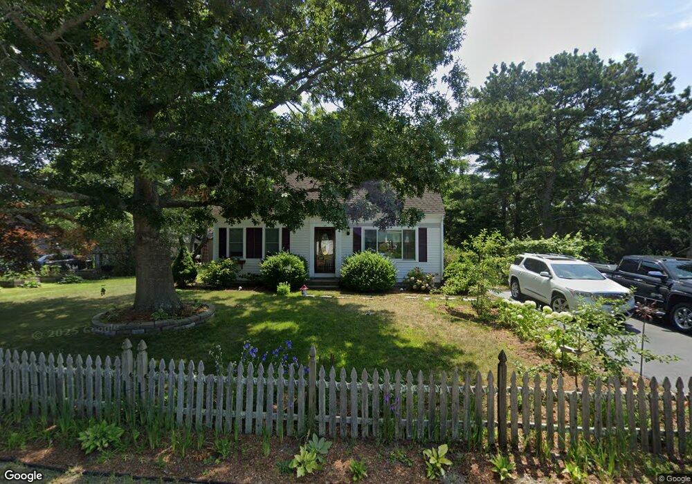
28 Meadowlark Dr Wareham, MA 02571
Estimated Value: $497,268 - $627,000
3
Beds
2
Baths
1,387
Sq Ft
$396/Sq Ft
Est. Value
About This Home
This home is located at 28 Meadowlark Dr, Wareham, MA 02571 and is currently estimated at $549,567, approximately $396 per square foot. 28 Meadowlark Dr is a home located in Plymouth County.
Ownership History
Date
Name
Owned For
Owner Type
Purchase Details
Closed on
Aug 30, 2004
Sold by
Lafreniere Jeri A and Poekel Jeri A
Bought by
Lafreniere Jeri A and Poekel Jeri A
Current Estimated Value
Home Financials for this Owner
Home Financials are based on the most recent Mortgage that was taken out on this home.
Original Mortgage
$150,000
Outstanding Balance
$73,954
Interest Rate
6.02%
Mortgage Type
Purchase Money Mortgage
Estimated Equity
$475,613
Purchase Details
Closed on
Jul 18, 1996
Sold by
White Craig E
Bought by
Poekel Gordon A and Poekel Jeri A
Purchase Details
Closed on
Jul 28, 1995
Sold by
Graves Robert and Graves Mary I
Bought by
White Craig E
Create a Home Valuation Report for This Property
The Home Valuation Report is an in-depth analysis detailing your home's value as well as a comparison with similar homes in the area
Purchase History
| Date | Buyer | Sale Price | Title Company |
|---|---|---|---|
| Lafreniere Jeri A | -- | -- | |
| Lafreniere Jeri A | -- | -- | |
| Lafreniere Jeri A | -- | -- | |
| Poekel Gordon A | $126,900 | -- | |
| Poekel Gordon A | $126,900 | -- | |
| White Craig E | $25,000 | -- | |
| White Craig E | $25,000 | -- |
Source: Public Records
Mortgage History
| Date | Status | Borrower | Loan Amount |
|---|---|---|---|
| Open | White Craig E | $150,000 | |
| Closed | White Craig E | $150,000 |
Source: Public Records
Tax History
| Year | Tax Paid | Tax Assessment Tax Assessment Total Assessment is a certain percentage of the fair market value that is determined by local assessors to be the total taxable value of land and additions on the property. | Land | Improvement |
|---|---|---|---|---|
| 2025 | $4,469 | $428,900 | $109,800 | $319,100 |
| 2024 | $4,677 | $416,500 | $85,800 | $330,700 |
| 2023 | $4,045 | $368,700 | $78,000 | $290,700 |
| 2022 | $4,045 | $306,900 | $78,000 | $228,900 |
| 2021 | $3,981 | $296,000 | $78,000 | $218,000 |
| 2020 | $3,780 | $285,100 | $78,000 | $207,100 |
| 2019 | $3,703 | $278,600 | $75,000 | $203,600 |
| 2018 | $3,393 | $248,900 | $75,000 | $173,900 |
| 2017 | $3,248 | $241,500 | $75,000 | $166,500 |
| 2016 | $3,083 | $227,900 | $72,500 | $155,400 |
| 2015 | $2,979 | $227,900 | $72,500 | $155,400 |
| 2014 | $2,592 | $201,700 | $68,900 | $132,800 |
Source: Public Records
Map
Nearby Homes
- 2697 Cranberry Hwy Unit 23
- 2711 Cranberry Hwy
- 156 Sandwich Rd
- 2645 Cranberry Hwy Unit A
- 55 Minot Ave Unit 55
- 10 Oak St
- 110 Mayflower Ridge Dr
- 2838 Cranberry Hwy
- 124 Minot Ave Unit 1
- 437 Main St
- 7 Knowles Ave
- 9 Old Glen Charlie Rd
- 0 Charge Pond Rd
- 106 Circuit Ave
- 91 Agawam Lake Shore Dr
- 3 Hazel St
- 102 Maple Springs Rd
- 6 Bourne Terrace
- 1 Gibbs Ball Park Rd
- 3 Michael Dr
- 30 Meadowlark Dr
- 13 Mallard Rd
- 26 Meadowlark Dr
- 11 Mallard Rd
- 25 Meadowlark Dr
- 15 Mallard Rd
- 27 Meadowlark Dr
- 24 Meadowlark Dr
- 21 Meadowlark Dr
- 9 Mallard Rd
- 29 Meadowlark Dr
- 14 Mallard Rd
- 19 Meadowlark Dr
- 22 Meadowlark Dr
- 22 Pheasant Ave
- 24 Pheasant Ave
- 16 Mallard Rd
- 20 Pheasant Ave
- 7 Mallard Rd
- 31 Meadowlark Dr
Your Personal Tour Guide
Ask me questions while you tour the home.