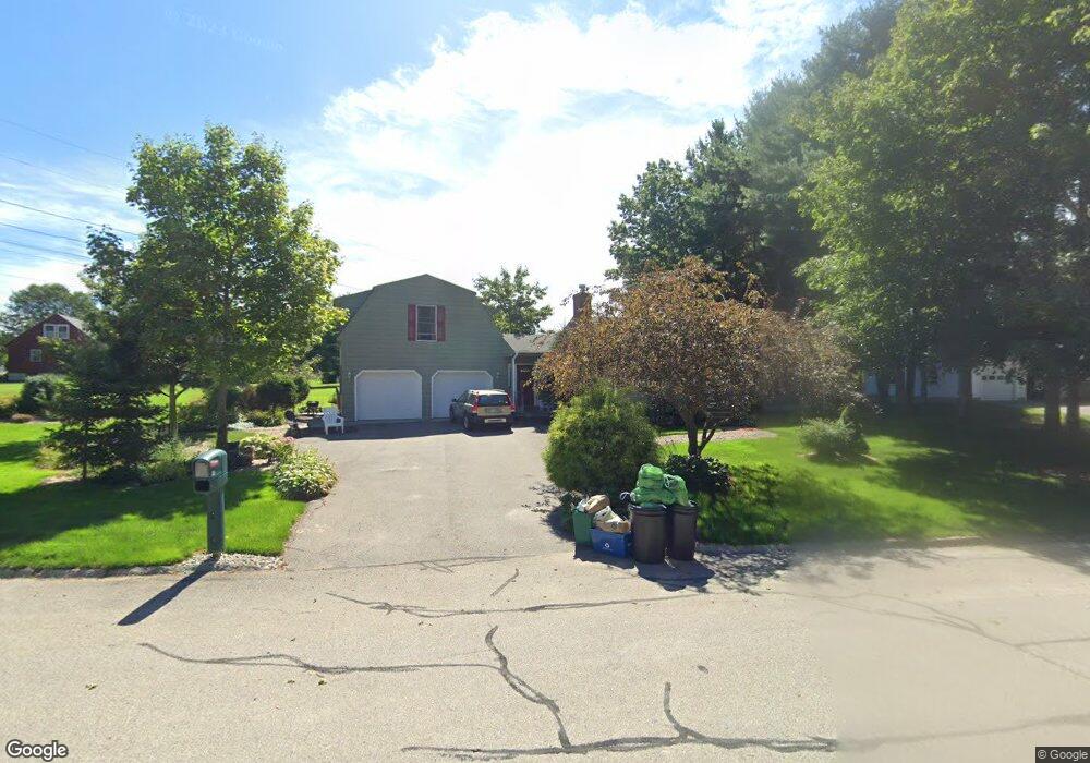
28 Toftree Ln Dover, NH 03820
Dover Point NeighborhoodEstimated Value: $650,278 - $772,000
4
Beds
3
Baths
2,226
Sq Ft
$313/Sq Ft
Est. Value
About This Home
This home is located at 28 Toftree Ln, Dover, NH 03820 and is currently estimated at $697,820, approximately $313 per square foot. 28 Toftree Ln is a home located in Strafford County with nearby schools including Garrison School, Dover Middle School, and Dover Senior High School.
Create a Home Valuation Report for This Property
The Home Valuation Report is an in-depth analysis detailing your home's value as well as a comparison with similar homes in the area
Home Values in the Area
Average Home Value in this Area
Tax History Compared to Growth
Tax History
| Year | Tax Paid | Tax Assessment Tax Assessment Total Assessment is a certain percentage of the fair market value that is determined by local assessors to be the total taxable value of land and additions on the property. | Land | Improvement |
|---|---|---|---|---|
| 2024 | $10,649 | $586,100 | $156,200 | $429,900 |
| 2023 | $9,509 | $508,500 | $156,200 | $352,300 |
| 2022 | $9,607 | $484,200 | $156,200 | $328,000 |
| 2021 | $9,275 | $427,400 | $138,900 | $288,500 |
| 2020 | $8,958 | $360,500 | $121,500 | $239,000 |
| 2019 | $8,738 | $346,900 | $112,800 | $234,100 |
| 2018 | $8,652 | $347,200 | $112,800 | $234,400 |
| 2017 | $8,020 | $310,000 | $82,400 | $227,600 |
| 2016 | $7,650 | $291,000 | $84,000 | $207,000 |
| 2015 | $7,613 | $286,100 | $84,000 | $202,100 |
| 2014 | $7,441 | $286,100 | $84,000 | $202,100 |
| 2011 | $6,775 | $269,700 | $75,200 | $194,500 |
Source: Public Records
Map
Nearby Homes
- 4 Freedom Dr
- 14 Independence Dr
- 51 Constitution Way
- 1 Independence Dr
- 6 Revolution Dr
- 9 Old Colony Rd
- 55 Pointe Place Unit 108
- 55 Pointe Place Unit 208
- 55 Pointe Place Unit 207
- 55 Pointe Place Unit 304
- 25 Dover Point Rd
- 20 Village Dr
- 15 Dover Point Rd
- 38 Tideview Dr
- 31 Rosanna Dr
- 25 Leathers Ln
- 142 Katie Ln
- 52 Katie Ln
- 19 Lenox Dr Unit A
- 19 Schooner Dr