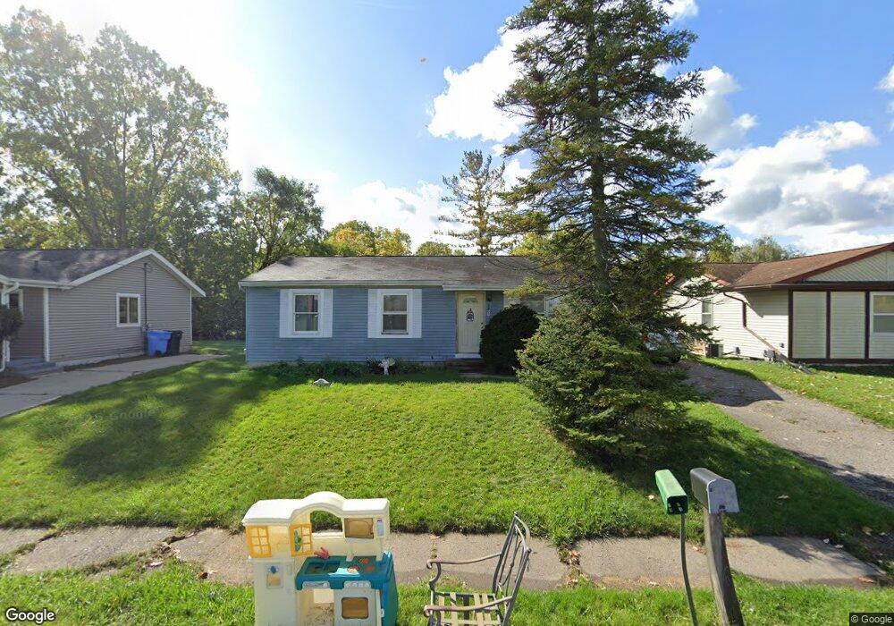
2803 Newark Ave Lansing, MI 48911
Southern Lansing NeighborhoodEstimated Value: $116,128 - $145,000
--
Bed
--
Bath
960
Sq Ft
$139/Sq Ft
Est. Value
About This Home
This home is located at 2803 Newark Ave, Lansing, MI 48911 and is currently estimated at $133,532, approximately $139 per square foot. 2803 Newark Ave is a home located in Ingham County with nearby schools including Reo Elementary School, Attwood School, and Everett High School.
Ownership History
Date
Name
Owned For
Owner Type
Purchase Details
Closed on
May 30, 2003
Sold by
Harris Georcie V and Harris Freddie L
Bought by
Mullins Gordon
Current Estimated Value
Home Financials for this Owner
Home Financials are based on the most recent Mortgage that was taken out on this home.
Original Mortgage
$88,050
Outstanding Balance
$37,814
Interest Rate
5.51%
Mortgage Type
VA
Estimated Equity
$95,718
Create a Home Valuation Report for This Property
The Home Valuation Report is an in-depth analysis detailing your home's value as well as a comparison with similar homes in the area
Home Values in the Area
Average Home Value in this Area
Purchase History
| Date | Buyer | Sale Price | Title Company |
|---|---|---|---|
| Mullins Gordon | $85,500 | Chicago Title |
Source: Public Records
Mortgage History
| Date | Status | Borrower | Loan Amount |
|---|---|---|---|
| Open | Mullins Gordon | $88,050 |
Source: Public Records
Tax History Compared to Growth
Tax History
| Year | Tax Paid | Tax Assessment Tax Assessment Total Assessment is a certain percentage of the fair market value that is determined by local assessors to be the total taxable value of land and additions on the property. | Land | Improvement |
|---|---|---|---|---|
| 2025 | $2,204 | $61,600 | $6,400 | $55,200 |
| 2024 | $17 | $45,700 | $6,400 | $39,300 |
| 2023 | $2,068 | $39,900 | $6,400 | $33,500 |
| 2022 | $1,867 | $39,300 | $4,100 | $35,200 |
| 2021 | $1,829 | $36,500 | $4,000 | $32,500 |
| 2020 | $1,817 | $34,800 | $4,000 | $30,800 |
| 2019 | $1,740 | $32,600 | $4,000 | $28,600 |
| 2018 | $1,633 | $28,900 | $4,000 | $24,900 |
| 2017 | $1,562 | $28,900 | $4,000 | $24,900 |
| 2016 | $1,494 | $28,400 | $4,000 | $24,400 |
| 2015 | $1,494 | $27,800 | $7,960 | $19,840 |
| 2014 | $1,494 | $26,000 | $12,935 | $13,065 |
Source: Public Records
Map
Nearby Homes
- 2923 Newark Ave
- 6030 Piper Ave
- 5838 S Martin Luther King Junior Blvd
- 3814 Coachlight Common St
- 6050 S Waverly Rd
- 2045 Moffitt St
- 5830 Granary Ln
- 6037 Hughes Rd
- 2416 Midwood St
- 5424 S Waverly Rd
- 5750 Ashley Dr
- 5100 Wexford Rd
- 4828 Ingham St
- 0 Midwood St
- 2616 Michigan 99
- 4809 Ballard Rd
- 1119 W Miller Rd
- 2520 Renfrew Way
- 1020 R G Curtiss Ave
- 2626 Little Hickory Dr
- 2809 Newark Ave
- 2715 Newark Ave
- 2813 Newark Ave
- 2707 Newark Ave
- 2701 Newark Ave
- 2819 Newark Ave
- 2825 Newark Ave
- 0 W Ller Unit 14242
- 2901 Newark Ave
- 2610 W Miller Rd
- 2909 Newark Ave
- 2915 Newark Ave
- 2800 W Miller Rd
- 2516 Bliesner St
- 2710 W Miller Rd
- 2516 Bliesener St
- 2508 Bliesener St
- 6006 Picardy St
- 2518 Newark Ave
- 2500 Bliesener St