2805 Security Ln Bay City, MI 48706
Estimated Value: $161,197 - $229,000
--
Bed
--
Bath
1,198
Sq Ft
$159/Sq Ft
Est. Value
About This Home
This home is located at 2805 Security Ln, Bay City, MI 48706 and is currently estimated at $190,799, approximately $159 per square foot. 2805 Security Ln is a home located in Bay County with nearby schools including Mackensen Elementary School, Western Middle School, and Bay City Western High School.
Ownership History
Date
Name
Owned For
Owner Type
Purchase Details
Closed on
Sep 24, 2014
Sold by
Pressler Timothy
Bought by
Ott Kari L
Current Estimated Value
Home Financials for this Owner
Home Financials are based on the most recent Mortgage that was taken out on this home.
Original Mortgage
$73,280
Outstanding Balance
$56,038
Interest Rate
4.11%
Mortgage Type
New Conventional
Estimated Equity
$134,761
Purchase Details
Closed on
Oct 9, 2003
Sold by
Carley Ryan and Carley Dana Dee
Bought by
Pressler Timothy
Home Financials for this Owner
Home Financials are based on the most recent Mortgage that was taken out on this home.
Original Mortgage
$130,000
Interest Rate
6.43%
Mortgage Type
Purchase Money Mortgage
Create a Home Valuation Report for This Property
The Home Valuation Report is an in-depth analysis detailing your home's value as well as a comparison with similar homes in the area
Home Values in the Area
Average Home Value in this Area
Purchase History
| Date | Buyer | Sale Price | Title Company |
|---|---|---|---|
| Ott Kari L | $91,600 | None Available | |
| Pressler Timothy | $130,000 | -- |
Source: Public Records
Mortgage History
| Date | Status | Borrower | Loan Amount |
|---|---|---|---|
| Open | Ott Kari L | $73,280 | |
| Previous Owner | Pressler Timothy | $130,000 |
Source: Public Records
Tax History Compared to Growth
Tax History
| Year | Tax Paid | Tax Assessment Tax Assessment Total Assessment is a certain percentage of the fair market value that is determined by local assessors to be the total taxable value of land and additions on the property. | Land | Improvement |
|---|---|---|---|---|
| 2025 | $1,785 | $72,400 | $0 | $0 |
| 2024 | $671 | $67,100 | $0 | $0 |
| 2023 | $639 | $64,900 | $0 | $0 |
| 2022 | $1,637 | $56,500 | $0 | $0 |
| 2021 | $1,531 | $56,500 | $56,500 | $0 |
| 2020 | $1,537 | $48,600 | $48,600 | $0 |
| 2019 | $1,461 | $42,500 | $0 | $0 |
| 2018 | $1,411 | $42,100 | $0 | $0 |
| 2017 | $1,328 | $41,200 | $0 | $0 |
| 2016 | $1,331 | $40,100 | $0 | $40,100 |
| 2015 | $669 | $36,600 | $0 | $36,600 |
| 2014 | $669 | $45,000 | $0 | $45,000 |
Source: Public Records
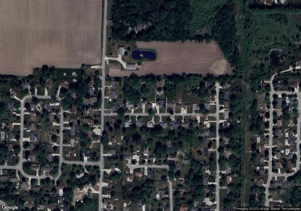
Map
Nearby Homes
- 5115 Baxman Rd
- 2975 Continental Dr
- 5447 Kasemeyer Rd
- 2777 E Fisher Rd
- 5231 Parkway Dr
- 3343 Parkway Dr
- 0 2 Mile Rd Unit 50169642
- 39 E Salzburg Rd
- 3340 Brentway Dr
- 3176 E Fisher Rd
- 0 S Two Mile Rd Unit 50142051
- 5976 Red Feather Dr
- 4848 W Westgate Dr
- 5985 Red Feather Dr
- 0 Fisher Rd
- 2491 E Meadow Dr
- 6025 E Meadow Dr
- 4738 Maplewood Dr
- 1901 S Mountain St
- 1232 S Mountain St
- 2783 Security Ln
- 2815 Security Ln
- 2806 Security Ln
- 2773 Security Ln
- 2804 Security Ln
- 2784 Security Ln
- 2819 Security Ln
- 2772 Security Ln
- 5399 Baxman Rd
- 2816 Security Ln
- 2823 Security Ln
- 5377 Baxman Rd
- 5369 Baxman Rd
- 2826 Security Ln
- 5405 Baxman Rd
- 2781 Sportsman Ct
- 2803 Sportsman Ct
- 5437 Homestead Ln
- 2833 Security Ln
- 2834 Security Ln