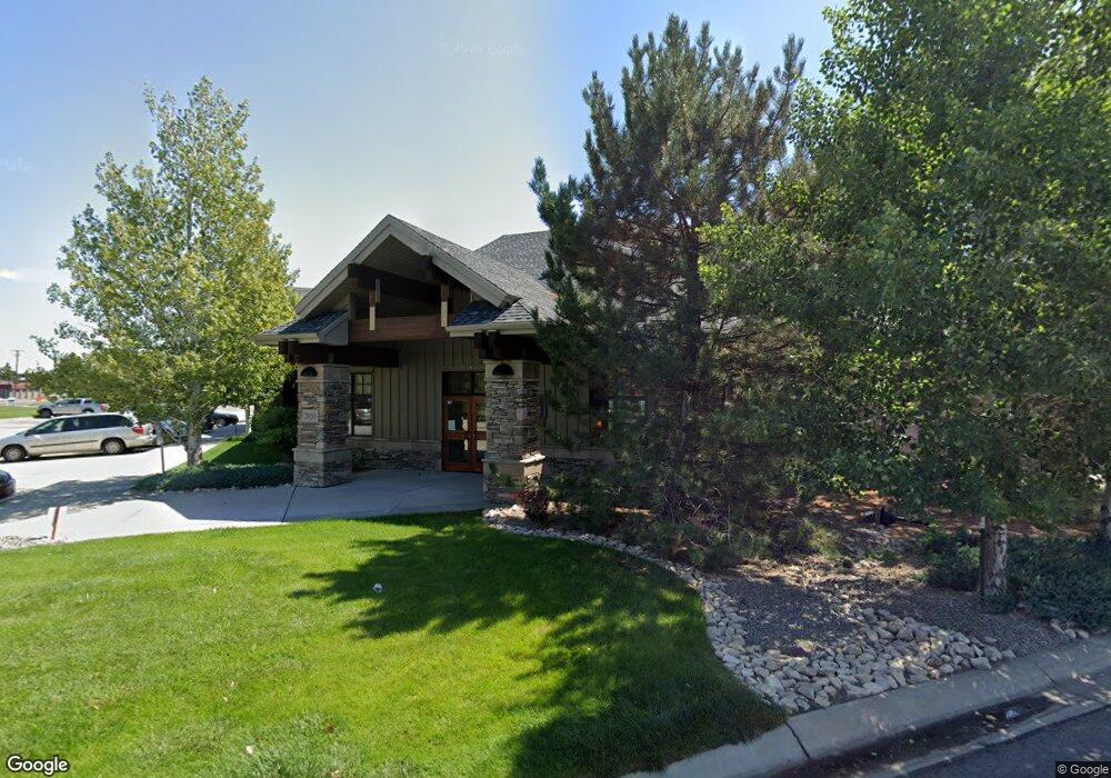
2820 Central Ave Billings, MT 59102
West End NeighborhoodEstimated Value: $440,578
--
Bed
--
Bath
--
Sq Ft
2,962
Sq Ft Lot
About This Home
This home is located at 2820 Central Ave, Billings, MT 59102 and is currently priced at $440,578. 2820 Central Ave is a home located in Yellowstone County with nearby schools including Central Heights School, Will James Junior High School, and Billings West High School.
Ownership History
Date
Name
Owned For
Owner Type
Purchase Details
Closed on
Oct 29, 2021
Sold by
Brill Lance and Olsen Brill Cheryl
Bought by
Picard Real Estate Llc
Current Estimated Value
Home Financials for this Owner
Home Financials are based on the most recent Mortgage that was taken out on this home.
Original Mortgage
$765,000
Outstanding Balance
$649,498
Interest Rate
2.8%
Mortgage Type
Small Business Administration
Purchase Details
Closed on
Dec 30, 2011
Sold by
Stapleton & Co Llc
Bought by
Big Sky Floral Supply Llc
Create a Home Valuation Report for This Property
The Home Valuation Report is an in-depth analysis detailing your home's value as well as a comparison with similar homes in the area
Home Values in the Area
Average Home Value in this Area
Purchase History
| Date | Buyer | Sale Price | Title Company |
|---|---|---|---|
| Picard Real Estate Llc | -- | First Montana Title Co | |
| Big Sky Floral Supply Llc | -- | None Available |
Source: Public Records
Mortgage History
| Date | Status | Borrower | Loan Amount |
|---|---|---|---|
| Open | Picard Real Estate Llc | $765,000 |
Source: Public Records
Tax History Compared to Growth
Tax History
| Year | Tax Paid | Tax Assessment Tax Assessment Total Assessment is a certain percentage of the fair market value that is determined by local assessors to be the total taxable value of land and additions on the property. | Land | Improvement |
|---|---|---|---|---|
| 2025 | $8,862 | $764,835 | $136,900 | $627,935 |
| 2024 | $8,862 | $660,348 | $95,472 | $564,876 |
| 2023 | $8,886 | $660,348 | $95,472 | $564,876 |
| 2022 | $9,973 | $660,348 | $95,472 | $564,876 |
| 2021 | $9,433 | $660,352 | $0 | $0 |
| 2020 | $9,635 | $646,302 | $0 | $0 |
| 2019 | $9,186 | $646,302 | $0 | $0 |
| 2018 | $9,364 | $647,970 | $0 | $0 |
| 2017 | $8,538 | $606,246 | $0 | $0 |
| 2016 | $8,433 | $606,246 | $0 | $0 |
| 2015 | $8,244 | $606,246 | $0 | $0 |
| 2014 | $7,703 | $421,659 | $0 | $0 |
Source: Public Records
Map
Nearby Homes
- 2845 Cumberland Hill Rd
- 207 Boston Hill Rd
- 3079 Hunters Ridge Loop
- 3087 Hunters Ridge Loop
- 260 Brookshire Blvd
- 108 30th St W
- 2702 Howard Ave
- 3113 Saint Johns Ave
- 2937 Miles Ave
- 362 Phyllis Cir E
- 3203 Lynn Ave
- 3175 Solar Blvd Unit 14
- 3121 New Hope Dr Unit 9
- 3121 New Hope Dr
- 2608 Terry Ave
- 2916 Monad Rd
- 3231 Central Ave
- 2645 Custer Ave
- 2 Mcbride St
- 3291 Banff Ave
- 2820 Central Ave
- 2820 Central Ave
- 2820 Central Ave
- 2800 Central Ave
- 2800 Central Ave
- 2800 Central Ave
- 2800 Central Ave
- 2810 Central Ave
- 2810 Central Ave
- 2810 Central Ave
- 2902 Millice Ave
- 2900 Millice Ave
- 2803 Radius Cir
- 2801 Radius Cir
- 2805 Radius Cir
- 2807 Radius Cir
- 2809 Radius Cir
- 2811 Radius Cir
- 2914 Millice Ave
- 2815 Radius Cir