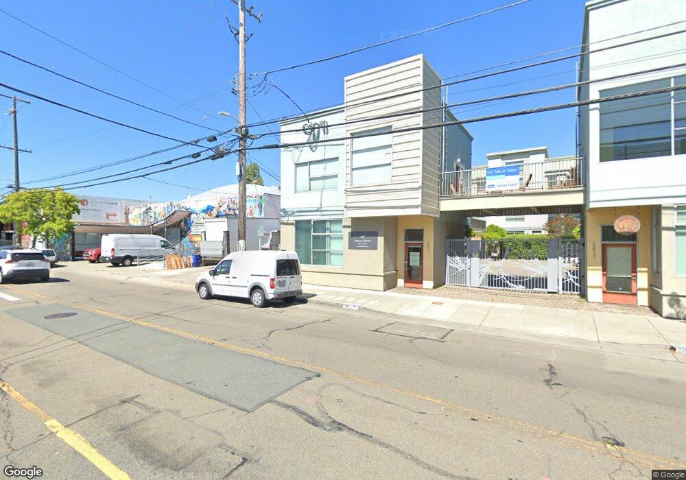
2831 7th St Berkeley, CA 94710
West Berkeley NeighborhoodEstimated Value: $884,238 - $1,258,000
2
Beds
2
Baths
1,627
Sq Ft
$614/Sq Ft
Est. Value
About This Home
This home is located at 2831 7th St, Berkeley, CA 94710 and is currently estimated at $998,810, approximately $613 per square foot. 2831 7th St is a home located in Alameda County with nearby schools including Malcolm X Elementary School, Oxford Elementary School, and Washington Elementary School.
Ownership History
Date
Name
Owned For
Owner Type
Purchase Details
Closed on
Jan 29, 2016
Sold by
Kemp Kimberly R
Bought by
The Hetzler Loo Family Trust
Current Estimated Value
Purchase Details
Closed on
Dec 21, 2010
Sold by
Seventh Street Development Associates Ll
Bought by
Kemp Kimberly R
Home Financials for this Owner
Home Financials are based on the most recent Mortgage that was taken out on this home.
Original Mortgage
$361,600
Interest Rate
4.75%
Mortgage Type
New Conventional
Create a Home Valuation Report for This Property
The Home Valuation Report is an in-depth analysis detailing your home's value as well as a comparison with similar homes in the area
Home Values in the Area
Average Home Value in this Area
Purchase History
| Date | Buyer | Sale Price | Title Company |
|---|---|---|---|
| The Hetzler Loo Family Trust | $750,000 | Chicago Title Company | |
| Kemp Kimberly R | $452,000 | Old Republic Title Company |
Source: Public Records
Mortgage History
| Date | Status | Borrower | Loan Amount |
|---|---|---|---|
| Previous Owner | Kemp Kimberly R | $361,600 |
Source: Public Records
Tax History
| Year | Tax Paid | Tax Assessment Tax Assessment Total Assessment is a certain percentage of the fair market value that is determined by local assessors to be the total taxable value of land and additions on the property. | Land | Improvement |
|---|---|---|---|---|
| 2025 | $13,338 | $887,827 | $266,348 | $621,479 |
| 2024 | $13,338 | $870,420 | $261,126 | $609,294 |
| 2023 | $13,065 | $853,357 | $256,007 | $597,350 |
| 2022 | $12,838 | $836,624 | $250,987 | $585,637 |
| 2021 | $12,874 | $820,221 | $246,066 | $574,155 |
| 2020 | $12,198 | $811,814 | $243,544 | $568,270 |
| 2019 | $11,736 | $795,900 | $238,770 | $557,130 |
| 2018 | $11,545 | $780,300 | $234,090 | $546,210 |
| 2017 | $11,150 | $765,000 | $229,500 | $535,500 |
| 2016 | $7,547 | $489,176 | $146,753 | $342,423 |
| 2015 | $7,440 | $481,831 | $144,549 | $337,282 |
| 2014 | $7,374 | $472,393 | $141,718 | $330,675 |
Source: Public Records
Map
Nearby Homes
- 1010 Grayson St
- 1034 Grayson St
- 811 Folger Ave
- 2751 Wallace St
- 1237 Ashby Ave
- 2717 Mabel St
- 1200 65th St Unit 224
- 1200 65th St Unit 230
- 1092 Dwight Way
- 1080 67th St
- 3032 Mabel St
- 1314 Ashby Ave
- 1118 Dwight Way
- 6501 San Pablo Ave Unit 410
- 1142 Dwight Way
- 2411 Sixth St
- 1144 Dwight Way
- 6466 Hollis St Unit 242
- 6466 Hollis St Unit 248
- 6500 San Pablo Ave
Your Personal Tour Guide
Ask me questions while you tour the home.