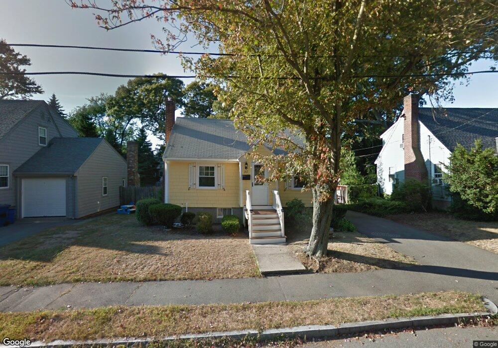
285 Wilson Ave Unit 1 Quincy, MA 02170
West Quincy NeighborhoodEstimated Value: $697,000 - $767,000
3
Beds
2
Baths
2,514
Sq Ft
$290/Sq Ft
Est. Value
About This Home
This home is located at 285 Wilson Ave Unit 1, Quincy, MA 02170 and is currently estimated at $729,267, approximately $290 per square foot. 285 Wilson Ave Unit 1 is a home located in Norfolk County with nearby schools including Montclair Elementary School, Atlantic Middle School, and North Quincy High School.
Ownership History
Date
Name
Owned For
Owner Type
Purchase Details
Closed on
Jun 19, 1998
Sold by
Higgins Leo B and Higgins Elaine P
Bought by
Parada Jose A and Parada Joanna M
Current Estimated Value
Home Financials for this Owner
Home Financials are based on the most recent Mortgage that was taken out on this home.
Original Mortgage
$135,000
Outstanding Balance
$27,101
Interest Rate
7.09%
Mortgage Type
Purchase Money Mortgage
Estimated Equity
$702,166
Create a Home Valuation Report for This Property
The Home Valuation Report is an in-depth analysis detailing your home's value as well as a comparison with similar homes in the area
Home Values in the Area
Average Home Value in this Area
Purchase History
| Date | Buyer | Sale Price | Title Company |
|---|---|---|---|
| Parada Jose A | $190,000 | -- |
Source: Public Records
Mortgage History
| Date | Status | Borrower | Loan Amount |
|---|---|---|---|
| Open | Parada Jose A | $135,000 |
Source: Public Records
Tax History Compared to Growth
Tax History
| Year | Tax Paid | Tax Assessment Tax Assessment Total Assessment is a certain percentage of the fair market value that is determined by local assessors to be the total taxable value of land and additions on the property. | Land | Improvement |
|---|---|---|---|---|
| 2025 | $7,333 | $636,000 | $373,300 | $262,700 |
| 2024 | $7,132 | $632,800 | $373,300 | $259,500 |
| 2023 | $6,655 | $597,900 | $355,500 | $242,400 |
| 2022 | $6,493 | $542,000 | $309,100 | $232,900 |
| 2021 | $6,297 | $518,700 | $294,400 | $224,300 |
| 2020 | $6,311 | $507,700 | $294,400 | $213,300 |
| 2019 | $5,811 | $463,000 | $275,200 | $187,800 |
| 2018 | $5,807 | $435,300 | $254,800 | $180,500 |
| 2017 | $5,606 | $395,600 | $242,600 | $153,000 |
| 2016 | $5,081 | $353,800 | $211,000 | $142,800 |
| 2015 | $4,803 | $329,000 | $191,900 | $137,100 |
| 2014 | $4,427 | $297,900 | $182,700 | $115,200 |
Source: Public Records
Map
Nearby Homes
- 51 Denmark Ave
- 129-131 Pine St
- 171 Milton St
- 169 Pine St
- 11 Rockwell Ave
- 121 Hillside Ave
- 115 W Squantum St Unit 907
- 115 W Squantum St Unit 810
- 55 Christopher Dr
- 60 Pond St
- 143 Arlington St
- 250 Fayette St
- 41 Wallace Rd
- 71 Cabot St
- 17 Holmes St Unit 2
- 17 Holmes St Unit 4
- 45 Marion St
- 400 Adams St Unit A
- 400 Adams St Unit B
- 397 Adams St
- 285 Wilson Ave
- 279 Wilson Ave
- 289 Wilson Ave
- 277 Wilson Ave
- 297 Wilson Ave
- 288 Wilson Ave
- 282 Wilson Ave
- 116 Barham Ave
- 116 Barham Ave Unit 116
- 296 Wilson Ave
- 188 Hamilton Ave
- 180 Hamilton Ave
- 192 Hamilton Ave
- 273 Wilson Ave
- 196 Hamilton Ave
- 176 Hamilton Ave
- 274 Wilson Ave
- 134 Barham Ave
- 267 Wilson Ave
- 200 Hamilton Ave