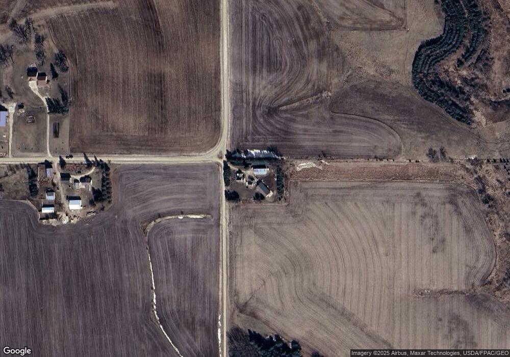
28508 Pheasant Rd Saint Charles, MN 55972
Estimated Value: $570,000 - $685,906
3
Beds
2
Baths
1,890
Sq Ft
$329/Sq Ft
Est. Value
About This Home
This home is located at 28508 Pheasant Rd, Saint Charles, MN 55972 and is currently estimated at $621,302, approximately $328 per square foot. 28508 Pheasant Rd is a home with nearby schools including St. Charles Elementary School and St. Charles Secondary School.
Ownership History
Date
Name
Owned For
Owner Type
Purchase Details
Closed on
Aug 1, 2012
Sold by
Mcintire Brian and Mcintire Elle
Bought by
Mcintire Brian and Mcintire Elle
Current Estimated Value
Purchase Details
Closed on
May 14, 2010
Sold by
Rossow Virgil L and Rossow Carom J
Bought by
Mcintire Brian and Mcintire Elle
Home Financials for this Owner
Home Financials are based on the most recent Mortgage that was taken out on this home.
Original Mortgage
$279,000
Interest Rate
5.16%
Create a Home Valuation Report for This Property
The Home Valuation Report is an in-depth analysis detailing your home's value as well as a comparison with similar homes in the area
Home Values in the Area
Average Home Value in this Area
Purchase History
| Date | Buyer | Sale Price | Title Company |
|---|---|---|---|
| Mcintire Brian | -- | -- | |
| Mcintire Brian | -- | -- | |
| Mcintire Brian | -- | -- |
Source: Public Records
Mortgage History
| Date | Status | Borrower | Loan Amount |
|---|---|---|---|
| Previous Owner | Mcintire Brian | $279,000 |
Source: Public Records
Tax History Compared to Growth
Tax History
| Year | Tax Paid | Tax Assessment Tax Assessment Total Assessment is a certain percentage of the fair market value that is determined by local assessors to be the total taxable value of land and additions on the property. | Land | Improvement |
|---|---|---|---|---|
| 2025 | $3,592 | $658,000 | $179,000 | $479,000 |
| 2024 | $2,690 | $428,600 | $159,000 | $269,600 |
| 2023 | $2,588 | $328,400 | $158,600 | $169,800 |
| 2022 | $2,432 | $309,600 | $147,000 | $162,600 |
| 2021 | $2,076 | $266,700 | $120,400 | $146,300 |
| 2020 | $2,132 | $229,900 | $119,000 | $110,900 |
| 2019 | $1,836 | $229,900 | $119,000 | $110,900 |
| 2018 | $1,698 | $216,200 | $107,000 | $109,200 |
| 2017 | $1,750 | $0 | $0 | $0 |
| 2016 | $1,704 | $0 | $0 | $0 |
| 2015 | $1,704 | $0 | $0 | $0 |
| 2014 | $1,610 | $0 | $0 | $0 |
Source: Public Records
Map
Nearby Homes
- TBD30 Cherokee Rd
- 2032 Wabasha Ave
- 1397 Soppa Dr
- 0 Cherokee Rd
- 260 E 15th St
- 1525 Wabasha Ave
- 701 Bluff Ave
- TDB Oakview Dr
- 1542 Rimrock Rd
- 1113 Oakview Dr
- xx Tbd
- 1160 Oakview Dr
- 113 E 7th St
- 307 Wabasha Ave
- 413 Northern Hills Ct
- 240 Northern Hills Dr
- 131 Circle Dr
- 416 Brubaker Dr
- 533 Manheim Ave
- 211 Industrial Park Dr
- 28400 Sinclair Rd
- 28407 Sinclair Rd
- 28493 Sinclair Rd
- 29000 Pheasant Rd
- 27981 Sinclair Rd
- 28927 County Road 117
- 28699 County Road 117
- 29097 County Road 117
- 27869 Sinclair Rd
- 26589 Park Rd
- 28786 County Road 117
- 28641 County Road 117
- 27686 Sinclair Rd
- 29283 Sinclair Rd
- 28608 County Road 117
- 27595 Sinclair Rd
- 27600 Sinclair Rd
- 28287 County Road 117
- 27529 27529 Sinclair Rd
- 27529 Sinclair Rd
