Estimated Value: $799,000 - $1,169,000
3
Beds
2
Baths
2,463
Sq Ft
$381/Sq Ft
Est. Value
About This Home
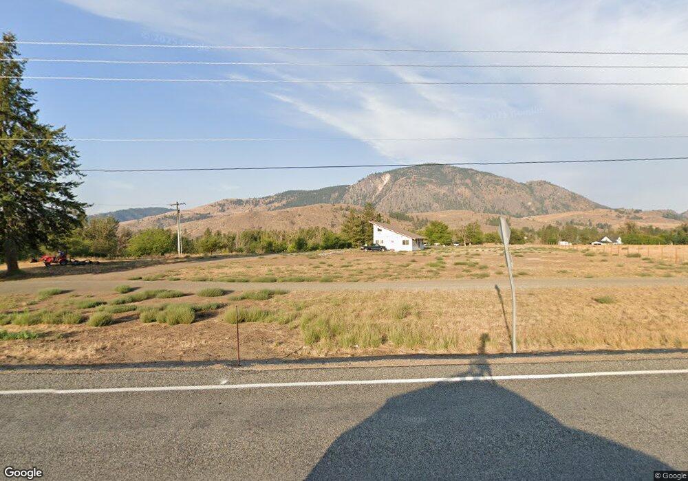
This home is located at 2861 State Route 153, Twisp, WA 98856 and is currently estimated at $937,998, approximately $380 per square foot. 2861 State Route 153 is a home located in Okanogan County with nearby schools including Methow Valley Elementary School, Liberty Bell Junior/Senior High School, and Methow Valley Independent Learning Center.
Ownership History
Date
Name
Owned For
Owner Type
Purchase Details
Closed on
Sep 3, 2020
Sold by
Vandervort Lesley S and Vandervort Madge
Bought by
Langowski Amanda and Langowski Michael P
Current Estimated Value
Home Financials for this Owner
Home Financials are based on the most recent Mortgage that was taken out on this home.
Original Mortgage
$510,400
Outstanding Balance
$452,946
Interest Rate
2.9%
Mortgage Type
New Conventional
Estimated Equity
$485,052
Create a Home Valuation Report for This Property
The Home Valuation Report is an in-depth analysis detailing your home's value as well as a comparison with similar homes in the area
Home Values in the Area
Average Home Value in this Area
Purchase History
| Date | Buyer | Sale Price | Title Company |
|---|---|---|---|
| Langowski Amanda | $665,000 | Wfg Natl Ttl Co Of Eastern W |
Source: Public Records
Mortgage History
| Date | Status | Borrower | Loan Amount |
|---|---|---|---|
| Open | Langowski Amanda | $510,400 |
Source: Public Records
Tax History Compared to Growth
Tax History
| Year | Tax Paid | Tax Assessment Tax Assessment Total Assessment is a certain percentage of the fair market value that is determined by local assessors to be the total taxable value of land and additions on the property. | Land | Improvement |
|---|---|---|---|---|
| 2025 | $6,284 | $868,300 | $175,800 | $692,500 |
| 2024 | $6,284 | $796,700 | $175,800 | $620,900 |
| 2022 | $5,381 | $501,300 | $141,800 | $359,500 |
| 2021 | $5,714 | $501,300 | $141,800 | $359,500 |
| 2020 | $4,694 | $501,300 | $141,800 | $359,500 |
| 2019 | $4,479 | $418,300 | $141,800 | $276,500 |
| 2018 | $4,706 | $418,300 | $141,800 | $276,500 |
| 2017 | $4,272 | $418,300 | $141,800 | $276,500 |
| 2016 | $4,096 | $406,000 | $144,500 | $261,500 |
| 2015 | $3,790 | $406,000 | $144,500 | $261,500 |
| 2013 | -- | $406,000 | $144,500 | $261,500 |
Source: Public Records
Map
Nearby Homes
- 48 Thurlow Rd
- 2992 Washington 153
- 121 Finley Canyon Rd
- 803 C Twisp Carlton
- 54B Ross Rd Unit B
- 1221 Riverside Ave
- 0 Lot 2 Amended Surface Short Plat
- 96 Alder Creek Rd
- 245 Twisp Carlton Rd
- 3A Ross Rd
- 803 D Twisp Carlton Rd
- 318 Lombard St
- 303 E 2nd Ave
- 2431 Washington 153
- 136 Johnson St
- 115 Johnson St N Unit 1,2,3
- 140 Twisp Ave W Unit 204
- 0 Isabella Ln Unit NWM2400755
- 0 Isabella Ln Unit NWM2400767
- 799 Twisp River Rd
- 2861 Highway 153
- 2877 State Route 153
- 2881 State Route 153
- 2885 State Route 153
- 2887 State Route 153
- 630 Twisp Carlton Rd Unit 2
- 630 Twisp Carlton Rd
- 630 Twisp Carlton Rd
- 2860 Washington 153
- 2860 State Route 153
- 640 Twisp Carlton Rd
- 9 No Go Around Ln Unit GO
- 9 Osprey Ln
- 10 Waxwing Ln
- 26 Waxwing Ln
- 0 Osprey Ln Unit 776682
- 2907 State Route 153
- 2911 State Route 153
- 13 Osprey Dr
- 13 Osprey Ln