Estimated Value: $300,000 - $448,000
4
Beds
2
Baths
1,746
Sq Ft
$210/Sq Ft
Est. Value
About This Home
This home is located at 289 Osborne Rd, Ware, MA 01082 and is currently estimated at $367,245, approximately $210 per square foot. 289 Osborne Rd is a home located in Hampshire County with nearby schools including Stanley M. Koziol Elementary School, Ware Middle School, and Ware Junior/Senior High School.
Ownership History
Date
Name
Owned For
Owner Type
Purchase Details
Closed on
Nov 14, 2002
Sold by
Andrews Beatrice T
Bought by
Treadwell Shann W
Current Estimated Value
Home Financials for this Owner
Home Financials are based on the most recent Mortgage that was taken out on this home.
Original Mortgage
$108,000
Interest Rate
6.03%
Mortgage Type
Purchase Money Mortgage
Create a Home Valuation Report for This Property
The Home Valuation Report is an in-depth analysis detailing your home's value as well as a comparison with similar homes in the area
Home Values in the Area
Average Home Value in this Area
Purchase History
| Date | Buyer | Sale Price | Title Company |
|---|---|---|---|
| Treadwell Shann W | $135,000 | -- |
Source: Public Records
Mortgage History
| Date | Status | Borrower | Loan Amount |
|---|---|---|---|
| Open | Treadwell Shann W | $112,000 | |
| Closed | Treadwell Shann W | $108,000 |
Source: Public Records
Tax History Compared to Growth
Tax History
| Year | Tax Paid | Tax Assessment Tax Assessment Total Assessment is a certain percentage of the fair market value that is determined by local assessors to be the total taxable value of land and additions on the property. | Land | Improvement |
|---|---|---|---|---|
| 2025 | $4,122 | $273,700 | $57,300 | $216,400 |
| 2024 | $3,955 | $242,200 | $54,000 | $188,200 |
| 2023 | $3,946 | $228,600 | $52,600 | $176,000 |
| 2022 | $3,713 | $192,000 | $48,600 | $143,400 |
| 2021 | $1,160 | $177,700 | $48,600 | $129,100 |
| 2020 | $3,431 | $166,300 | $48,600 | $117,700 |
| 2019 | $3,361 | $166,300 | $48,600 | $117,700 |
| 2018 | $3,322 | $160,400 | $47,400 | $113,000 |
| 2017 | $3,298 | $158,800 | $47,400 | $111,400 |
| 2016 | $3,209 | $158,800 | $47,400 | $111,400 |
| 2015 | $3,120 | $158,800 | $47,400 | $111,400 |
| 2014 | $3,052 | $166,700 | $50,300 | $116,400 |
Source: Public Records
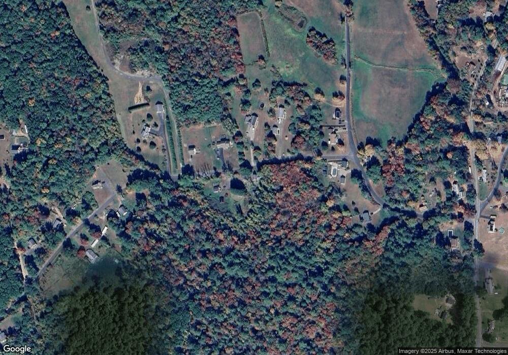
Map
Nearby Homes
- 290 Osborne Rd
- 1 Anna St
- Lot 40 Osborne Rd
- 194 Old Greenwich Plain Rd
- 84 Greenwich Rd
- 288 Fisk Rd
- 54 Cummings Rd
- 130 Greenwich Plains Rd
- 113 Greenwich Plains Rd
- 441 Main St
- 0 Main St
- 0 Taylor St
- 347-349 Main St
- 0 Highland Terrace
- 0 Crescent St
- 0A Crescent St
- 0AB Crescent St
- 2 Spring St
- 10 Pearl St
- 143 Eagle St
- 287 Osborne Rd
- 288 Osborne Rd
- 286 Osborne Rd
- 292 Osborne Rd
- 12 Campbell Rd
- 14 Campbell Rd
- 6 Campbell Rd
- 276 Osborne Rd
- 273 Osborne Rd
- L1 Campbell Rd
- Lot 2 Campbell Rd
- 272 Osborne Rd
- 0 Osborne Rd Rear Unit 72467425
- 1 Campbell Rd
- 1 Campbell Rd
- 1 Campbell Rd
- 267 Osborne Rd
- 268 Osborne Rd
- 2 Campbell Rd
- 2R Campbell Rd