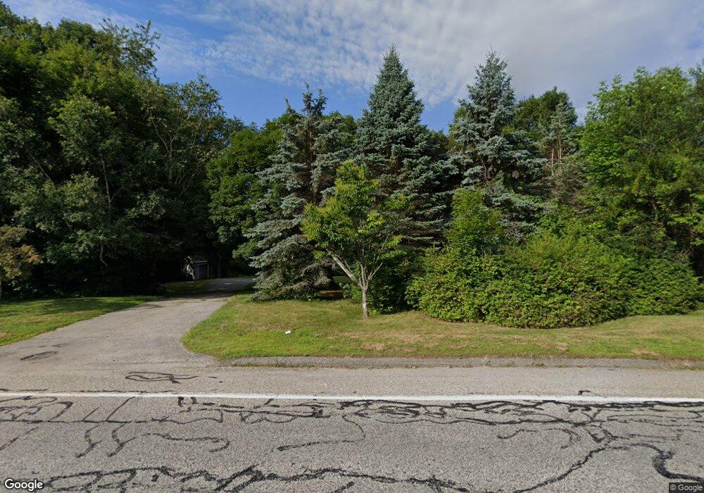
289 River Rd Lewiston, ME 04240
Estimated Value: $281,346 - $420,000
3
Beds
1
Bath
1,810
Sq Ft
$193/Sq Ft
Est. Value
About This Home
This home is located at 289 River Rd, Lewiston, ME 04240 and is currently estimated at $349,587, approximately $193 per square foot. 289 River Rd is a home with nearby schools including Lewiston Middle School, Lewiston High School, and Acadia Academy School.
Ownership History
Date
Name
Owned For
Owner Type
Purchase Details
Closed on
Sep 11, 2020
Sold by
Racine John W and Racine Donna L
Bought by
289 River Road Llc
Current Estimated Value
Home Financials for this Owner
Home Financials are based on the most recent Mortgage that was taken out on this home.
Original Mortgage
$152,000
Outstanding Balance
$134,890
Interest Rate
2.9%
Mortgage Type
New Conventional
Estimated Equity
$214,697
Create a Home Valuation Report for This Property
The Home Valuation Report is an in-depth analysis detailing your home's value as well as a comparison with similar homes in the area
Home Values in the Area
Average Home Value in this Area
Purchase History
| Date | Buyer | Sale Price | Title Company |
|---|---|---|---|
| 289 River Road Llc | -- | None Available |
Source: Public Records
Mortgage History
| Date | Status | Borrower | Loan Amount |
|---|---|---|---|
| Open | 289 River Road Llc | $152,000 |
Source: Public Records
Tax History Compared to Growth
Tax History
| Year | Tax Paid | Tax Assessment Tax Assessment Total Assessment is a certain percentage of the fair market value that is determined by local assessors to be the total taxable value of land and additions on the property. | Land | Improvement |
|---|---|---|---|---|
| 2024 | $3,476 | $109,400 | $35,530 | $73,870 |
| 2023 | $3,282 | $109,400 | $35,530 | $73,870 |
| 2022 | $3,118 | $109,400 | $35,530 | $73,870 |
| 2021 | $3,095 | $109,510 | $35,640 | $73,870 |
| 2020 | $3,140 | $109,510 | $35,640 | $73,870 |
| 2019 | $3,166 | $109,510 | $35,640 | $73,870 |
| 2018 | $3,140 | $109,510 | $35,640 | $73,870 |
| 2017 | $3,068 | $109,510 | $35,640 | $73,870 |
| 2016 | $3,016 | $109,510 | $35,640 | $73,870 |
| 2015 | $3,041 | $111,120 | $35,640 | $75,480 |
| 2014 | $2,955 | $111,120 | $35,640 | $75,480 |
| 2013 | $2,938 | $111,120 | $35,640 | $75,480 |
Source: Public Records
Map
Nearby Homes
- 287 River Rd
- 299 River Rd
- 326 River Rd
- 330 River Rd
- 317 River Rd
- 334 River Rd
- 321 River Rd
- 359 River Rd
- 385 River Rd
- 195 River Rd
- 37 Alfred A Plourde Pkwy
- 393 River Rd
- 397 River Rd
- 401 River Rd
- 56 Alfred A Plourde Pkwy
- 1128 Riverside Dr
- 167 River Rd
- 1165 Riverside Dr
- 1165 Riverside Dr Unit 1173 Riverside Drive
- 1240 Riverside Dr