289 Staton Way Rutledge, TN 37861
Estimated Value: $246,792 - $384,000
--
Bed
1
Bath
1,192
Sq Ft
$265/Sq Ft
Est. Value
About This Home
This home is located at 289 Staton Way, Rutledge, TN 37861 and is currently estimated at $315,448, approximately $264 per square foot. 289 Staton Way is a home located in Grainger County with nearby schools including Rutledge Primary School, Rutledge Elementary School, and Rutledge Middle School.
Ownership History
Date
Name
Owned For
Owner Type
Purchase Details
Closed on
Feb 18, 2010
Sold by
Brown Joe R
Bought by
Brown Stanley R
Current Estimated Value
Purchase Details
Closed on
Nov 24, 2001
Bought by
Brown Stanley
Purchase Details
Closed on
Jan 20, 1999
Bought by
Brown Stanley
Purchase Details
Closed on
Dec 6, 1991
Bought by
Brown Stanley
Purchase Details
Closed on
May 9, 1983
Bought by
Brown Stanley
Create a Home Valuation Report for This Property
The Home Valuation Report is an in-depth analysis detailing your home's value as well as a comparison with similar homes in the area
Home Values in the Area
Average Home Value in this Area
Purchase History
| Date | Buyer | Sale Price | Title Company |
|---|---|---|---|
| Brown Stanley R | -- | -- | |
| Brown Stanley | $300 | -- | |
| Brown Stanley | $500 | -- | |
| Brown Stanley | $500 | -- | |
| Brown Stanley | -- | -- |
Source: Public Records
Tax History Compared to Growth
Tax History
| Year | Tax Paid | Tax Assessment Tax Assessment Total Assessment is a certain percentage of the fair market value that is determined by local assessors to be the total taxable value of land and additions on the property. | Land | Improvement |
|---|---|---|---|---|
| 2025 | -- | $33,400 | $0 | $0 |
| 2024 | -- | $33,400 | $16,125 | $17,275 |
| 2023 | $0 | $33,400 | $16,125 | $17,275 |
| 2022 | $767 | $33,400 | $16,125 | $17,275 |
| 2021 | $767 | $33,400 | $16,125 | $17,275 |
| 2020 | $771 | $33,400 | $16,125 | $17,275 |
| 2019 | $771 | $27,525 | $16,125 | $11,400 |
| 2018 | $666 | $27,525 | $16,125 | $11,400 |
| 2017 | $666 | $27,525 | $16,125 | $11,400 |
| 2016 | $666 | $27,525 | $16,125 | $11,400 |
| 2015 | $598 | $38,825 | $27,425 | $11,400 |
| 2014 | $598 | $23,929 | $0 | $0 |
Source: Public Records
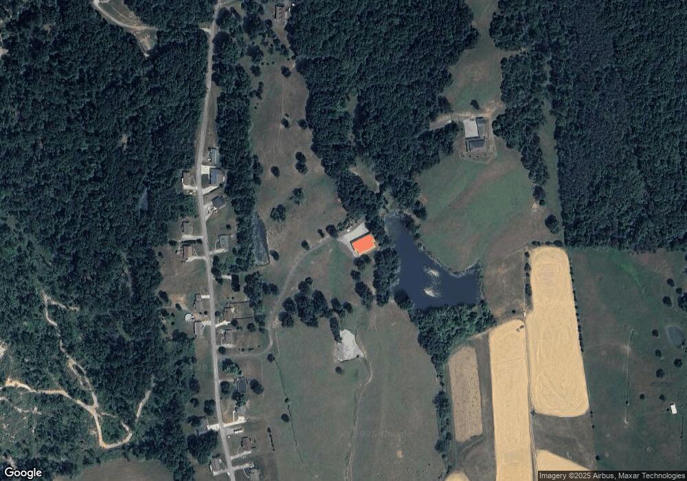
Map
Nearby Homes
- 8445 U S 11w
- 1264 Highway11 S
- 0 Avondale Hollow Rd
- 1711 Rocky Branch Rd
- 0 Silent Ln Unit 1299563
- 3500 Poor Valley Rd
- 0 Poor Valley Rd Unit 1281719
- 0 Poor Valley Rd Unit 1220825
- Lots 5&6 Clint Williams Rd
- 0 Lester Jarnigan Rd Unit 707246
- 5 Greenlee Rd
- 70 acres+- Perrin Hill Rd
- 979 Tennessee 92
- 979 Highway 92
- Lot 6 Scenic View Dr
- 127 Deer Ridge Dr
- 2900 Highway 11w S
- 0 Deerridge Dr Unit 1185180
- 172 W Hills Rd
- 58.5 Acres Greenlee Rd
- 112 Stansberry Ln
- 160 Stansberry Ln
- 383 Roberts Ln
- 259 Roberts Ln
- 216 Roberts Ln
- 145 Stansberry Ln
- 169 Roberts Ln
- 125 Roberts Ln
- 121 Highway 11w S
- 255 Highway 11w S
- 0 Hwy11w Unit 1145354
- 0 Hwy11w Unit 861223
- 0 Hwy11w Unit 861222
- 9029 Rutledge Pike
- 283 Highway 11w S
- 136 Rocky Branch Rd
- 120 Highway 11w S
- 139 Rocky Branch Rd
- 165 Rocky Branch Rd
- 780 Cherry St