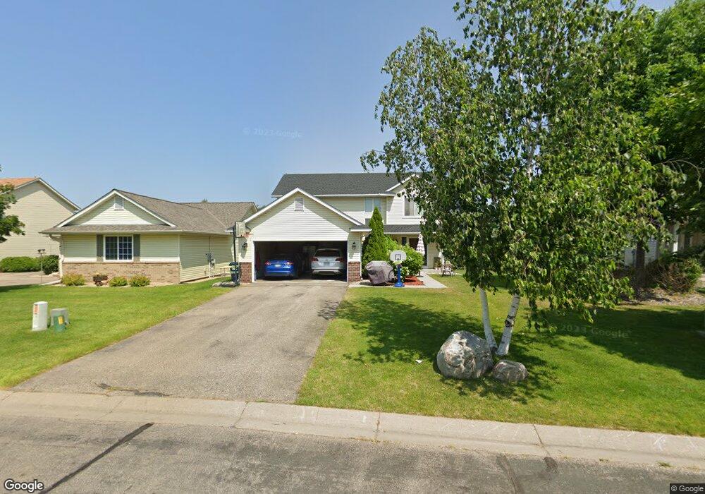
2893 Wyndam Ct Shakopee, MN 55379
Estimated Value: $359,782 - $392,000
4
Beds
4
Baths
2,396
Sq Ft
$156/Sq Ft
Est. Value
About This Home
This home is located at 2893 Wyndam Ct, Shakopee, MN 55379 and is currently estimated at $374,946, approximately $156 per square foot. 2893 Wyndam Ct is a home located in Scott County with nearby schools including Eagle Creek Elementary School, East Middle School, and Shakopee Senior High School.
Ownership History
Date
Name
Owned For
Owner Type
Purchase Details
Closed on
Jan 15, 2016
Sold by
Gremeniuk Sergei and Gremeniuk Tatyana V
Bought by
Ahmad Maher S
Current Estimated Value
Home Financials for this Owner
Home Financials are based on the most recent Mortgage that was taken out on this home.
Original Mortgage
$255,290
Outstanding Balance
$199,027
Interest Rate
3.37%
Mortgage Type
FHA
Estimated Equity
$175,919
Purchase Details
Closed on
Jul 25, 2005
Sold by
Mw Johnson Construction
Bought by
Not Provided and Hremianiuk Tatyana
Purchase Details
Closed on
Jul 9, 2004
Sold by
Tollefson Development Inc
Bought by
M W Johnson Construction Inc
Create a Home Valuation Report for This Property
The Home Valuation Report is an in-depth analysis detailing your home's value as well as a comparison with similar homes in the area
Home Values in the Area
Average Home Value in this Area
Purchase History
| Date | Buyer | Sale Price | Title Company |
|---|---|---|---|
| Ahmad Maher S | $260,000 | Trademark Title Services Inc | |
| Not Provided | $262,716 | -- | |
| M W Johnson Construction Inc | $5,258,733 | -- |
Source: Public Records
Mortgage History
| Date | Status | Borrower | Loan Amount |
|---|---|---|---|
| Open | Ahmad Maher S | $255,290 |
Source: Public Records
Tax History Compared to Growth
Tax History
| Year | Tax Paid | Tax Assessment Tax Assessment Total Assessment is a certain percentage of the fair market value that is determined by local assessors to be the total taxable value of land and additions on the property. | Land | Improvement |
|---|---|---|---|---|
| 2025 | $3,280 | $340,200 | $114,100 | $226,100 |
| 2024 | $3,282 | $324,600 | $108,700 | $215,900 |
| 2023 | $3,382 | $312,900 | $101,200 | $211,700 |
| 2022 | $3,220 | $316,600 | $103,600 | $213,000 |
| 2021 | $2,742 | $263,000 | $81,200 | $181,800 |
| 2020 | $3,118 | $247,600 | $64,800 | $182,800 |
| 2019 | $3,086 | $247,100 | $68,500 | $178,600 |
| 2018 | $3,094 | $0 | $0 | $0 |
| 2016 | $2,796 | $0 | $0 | $0 |
| 2014 | -- | $0 | $0 | $0 |
Source: Public Records
Map
Nearby Homes
- 1977 Dahlia Dr
- 1624 Philipp Way
- 1545 Philipp Way
- 1533 Philipp Way
- 1521 Philipp Way
- 1515 Philipp Way
- 1497 Philipp Way
- 1491 Philipp Way
- 1520 Philipp Way
- 2886 Trinity Dr
- 2910 Trinity Dr
- 2942 Trinity Dr
- 2804 Trinity Dr
- 1480 Philipp Way
- 2931 Trinity Dr
- 2795 Downing Ave
- Lewis Plan at Summerland Place - Landmark Collection
- Clearwater Plan at Summerland Place - Landmark Collection
- McKinley Plan at Summerland Place - Landmark Collection
- Sinclair Plan at Summerland Place - Landmark Collection
- 2885 Wyndam Ct
- 2903 Wyndam Ct
- 2877 Wyndam Ct
- 2911 Wyndam Ct
- 2869 Wyndam Ct
- 2944 Wyndam Ct
- 2919 Wyndam Ct
- 2888 Wyndam Ct
- 2948 Wyndam Ct
- 2923 Wyndam Ct
- 2880 Wyndam Ct
- 2927 Wyndam Ct
- 2861 Wyndam Ct
- 2952 Wyndam Ct
- 2872 Wyndam Ct
- 2931 Wyndam Ct
- 2960 Wyndam Ct
- 2853 Wyndam Ct
- 1704 Philipp Dr
- 1702 Philipp Dr