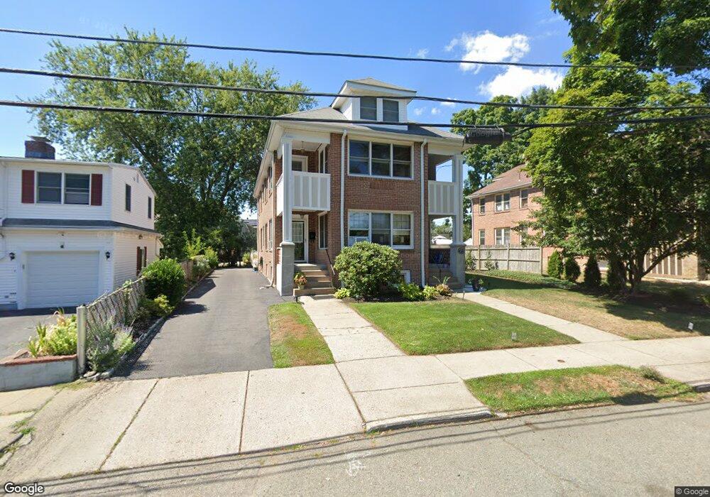
29 Kilburn Rd West Newton, MA 02465
West Newton NeighborhoodEstimated Value: $670,112 - $821,000
2
Beds
1
Bath
1,077
Sq Ft
$684/Sq Ft
Est. Value
About This Home
This home is located at 29 Kilburn Rd, West Newton, MA 02465 and is currently estimated at $737,028, approximately $684 per square foot. 29 Kilburn Rd is a home located in Middlesex County with nearby schools including Franklin Elementary School, F.A. Day Middle School, and Newton North High School.
Ownership History
Date
Name
Owned For
Owner Type
Purchase Details
Closed on
Feb 6, 2024
Sold by
Morse David and Sherwin Susan
Bought by
Morse And Sherwin Ft and Morse
Current Estimated Value
Purchase Details
Closed on
Jul 1, 2005
Sold by
Angelucci Dante and Johnson-Angelucci Linda E
Bought by
Morse David and Sherwin Susan
Home Financials for this Owner
Home Financials are based on the most recent Mortgage that was taken out on this home.
Original Mortgage
$337,600
Interest Rate
5.73%
Mortgage Type
Purchase Money Mortgage
Create a Home Valuation Report for This Property
The Home Valuation Report is an in-depth analysis detailing your home's value as well as a comparison with similar homes in the area
Home Values in the Area
Average Home Value in this Area
Purchase History
| Date | Buyer | Sale Price | Title Company |
|---|---|---|---|
| Morse And Sherwin Ft | -- | None Available | |
| Morse And Sherwin Ft | -- | None Available | |
| Morse David | $422,000 | -- | |
| Morse David | $422,000 | -- |
Source: Public Records
Mortgage History
| Date | Status | Borrower | Loan Amount |
|---|---|---|---|
| Previous Owner | Morse David | $337,600 |
Source: Public Records
Tax History Compared to Growth
Tax History
| Year | Tax Paid | Tax Assessment Tax Assessment Total Assessment is a certain percentage of the fair market value that is determined by local assessors to be the total taxable value of land and additions on the property. | Land | Improvement |
|---|---|---|---|---|
| 2025 | $5,428 | $553,900 | $0 | $553,900 |
| 2024 | $5,249 | $537,800 | $0 | $537,800 |
| 2023 | $5,140 | $504,900 | $0 | $504,900 |
| 2022 | $5,059 | $480,900 | $0 | $480,900 |
| 2021 | $4,882 | $453,700 | $0 | $453,700 |
| 2020 | $4,737 | $453,700 | $0 | $453,700 |
| 2019 | $4,603 | $440,500 | $0 | $440,500 |
| 2018 | $4,618 | $426,800 | $0 | $426,800 |
| 2017 | $4,477 | $402,600 | $0 | $402,600 |
| 2016 | $4,282 | $376,300 | $0 | $376,300 |
| 2015 | $4,161 | $358,400 | $0 | $358,400 |
Source: Public Records
Map
Nearby Homes
- 41 Kilburn Rd
- 287 Cherry St Unit 2
- 53-55 N Gate Park
- 44 Westland Ave
- 106 River St Unit 18
- 106 River St Unit 2
- 106 River St Unit 14
- 2 Elm St Unit 6
- 2 Elm St Unit 8
- 371 Cherry St
- 56 Dearborn St
- 66 Webster St
- 429 Cherry St Unit 11
- 212 River St Unit 2
- 42 Evergreen Cir
- 90 Auburndale Ave
- 265-267 River St Unit 267
- 265-267 River St Unit 265
- 33 Lill Ave
- 75 Cherry St
- 29 Kilburn Rd
- 27 Kilburn Rd
- 27 Kilburn Rd
- 31 Kilburn Rd
- 21 Kilburn Rd Unit 23
- 35 Kilburn Rd
- 272 Cherry St
- 258 Cherry St
- 276 Cherry St
- 30 Kilburn Rd
- 266 Cherry St
- 34 Kilburn Rd
- 34 Kilburn Rd Unit 34
- 268 Cherry St
- 280 Cherry St
- 11 Kilburn Rd Unit 13
- 69 S Gate Park
- 284 Cherry St
- 66 S Gate Park
- 79 Kilburn Rd