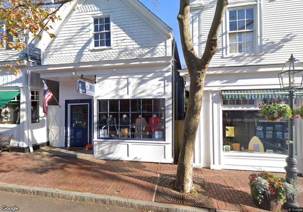
29 Main St Edgartown, MA 02539
Edgartown NeighborhoodEstimated Value: $2,630,182
--
Bed
1
Bath
1,159
Sq Ft
$2,269/Sq Ft
Est. Value
About This Home
This home is located at 29 Main St, Edgartown, MA 02539 and is currently estimated at $2,630,182, approximately $2,269 per square foot. 29 Main St is a home located in Dukes County with nearby schools including Edgartown Elementary School and Martha's Vineyard Regional High School.
Ownership History
Date
Name
Owned For
Owner Type
Purchase Details
Closed on
Jul 9, 2015
Sold by
Berger Stephen W
Bought by
Imprimis Llc
Current Estimated Value
Purchase Details
Closed on
Jan 31, 2011
Sold by
Breezin Up Inc
Bought by
Berger Stephen W
Purchase Details
Closed on
Dec 8, 1997
Sold by
Farrow Edward W and Farrow Jane W
Bought by
Breezin Up Inc
Create a Home Valuation Report for This Property
The Home Valuation Report is an in-depth analysis detailing your home's value as well as a comparison with similar homes in the area
Home Values in the Area
Average Home Value in this Area
Purchase History
| Date | Buyer | Sale Price | Title Company |
|---|---|---|---|
| Imprimis Llc | -- | -- | |
| Berger Stephen W | $1,400,000 | -- | |
| Breezin Up Inc | $500,000 | -- |
Source: Public Records
Mortgage History
| Date | Status | Borrower | Loan Amount |
|---|---|---|---|
| Previous Owner | Breezin Up Inc | $2,000,000 | |
| Previous Owner | Breezin Up Inc | $1,116,000 |
Source: Public Records
Tax History Compared to Growth
Tax History
| Year | Tax Paid | Tax Assessment Tax Assessment Total Assessment is a certain percentage of the fair market value that is determined by local assessors to be the total taxable value of land and additions on the property. | Land | Improvement |
|---|---|---|---|---|
| 2025 | $5,616 | $2,119,300 | $1,504,300 | $615,000 |
| 2024 | $5,404 | $2,119,300 | $1,504,300 | $615,000 |
| 2023 | $4,083 | $1,620,200 | $1,274,400 | $345,800 |
| 2022 | $3,275 | $1,080,700 | $850,200 | $230,500 |
| 2021 | $3,545 | $1,080,700 | $850,200 | $230,500 |
| 2020 | $3,620 | $1,080,700 | $850,200 | $230,500 |
| 2019 | $4,182 | $1,080,700 | $850,200 | $230,500 |
| 2018 | $4,156 | $1,073,900 | $850,200 | $223,700 |
| 2017 | $4,256 | $1,198,800 | $980,600 | $218,200 |
| 2016 | $4,340 | $1,198,800 | $980,600 | $218,200 |
| 2015 | $4,160 | $1,198,800 | $980,600 | $218,200 |
Source: Public Records
Map
Nearby Homes
- 25 Dock St
- 62 N Summer St
- 68 N Water St
- 52 S Summer St
- 10 Peases Point Way N
- 69 School St
- 11 Norton St
- 43 Peases Point Way S
- 43 Cottage St
- 8 High St
- 10 Tilton Way
- 117 N Water St
- 54 Fuller St
- 48 W Tisbury Rd
- 48 Edgartown - West Tisbury Rd
- 23 Pinehurst Rd
- 26 Curtis Ln
- 76 Norton Orchard Rd
- 7 Clark Dr
- 2 Orchard Ln
- 33 Main St
- 25 Main St
- 24 Main St
- 36 Main St
- 12 N Water St
- 38 Main St
- 5 N Water St
- 4 N Water St
- 4-6, 8-10 Main St
- 1 S Water St
- 7 N Water St
- 20 Main St
- 11 N Water St
- 314 Edgartown Vh Rd
- 44 Main St
- 3 S Water St Unit 6
- 3 S Water St Unit WK29
- 3 S Water St Unit 310,wk29
- 3 S Water St Unit 429/432 w30
- 3 S Water St