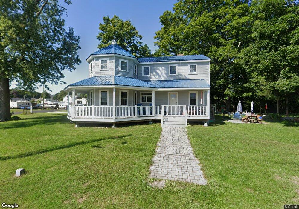
29 Moore St Epping, NH 03042
Estimated Value: $503,000 - $529,000
2
Beds
2
Baths
1,656
Sq Ft
$310/Sq Ft
Est. Value
About This Home
This home is located at 29 Moore St, Epping, NH 03042 and is currently estimated at $513,052, approximately $309 per square foot. 29 Moore St is a home with nearby schools including Epping Elementary School, Epping Middle School, and Epping High School.
Create a Home Valuation Report for This Property
The Home Valuation Report is an in-depth analysis detailing your home's value as well as a comparison with similar homes in the area
Home Values in the Area
Average Home Value in this Area
Tax History
| Year | Tax Paid | Tax Assessment Tax Assessment Total Assessment is a certain percentage of the fair market value that is determined by local assessors to be the total taxable value of land and additions on the property. | Land | Improvement |
|---|---|---|---|---|
| 2025 | $7,569 | $504,600 | $141,800 | $362,800 |
| 2024 | $7,133 | $282,700 | $81,000 | $201,700 |
| 2023 | $6,615 | $282,700 | $81,000 | $201,700 |
| 2022 | $6,358 | $282,700 | $81,000 | $201,700 |
| 2021 | $6,338 | $282,700 | $81,000 | $201,700 |
| 2020 | $6,683 | $282,700 | $81,000 | $201,700 |
| 2019 | $7,462 | $269,400 | $74,300 | $195,100 |
| 2018 | $6,900 | $266,000 | $74,300 | $191,700 |
| 2017 | $6,900 | $266,000 | $74,300 | $191,700 |
| 2016 | $6,900 | $266,000 | $74,300 | $191,700 |
| 2015 | $1,927 | $74,300 | $74,300 | $0 |
| 2014 | $1,546 | $63,300 | $63,300 | $0 |
| 2013 | -- | $0 | $0 | $0 |
Source: Public Records
Map
Nearby Homes
- 18 Church St
- 7A Sunset Ridge Rd Unit A
- 16B Lunas Ave Unit 16B
- 13 Elm St
- 2 Prescott Rd
- 24 Prescott Rd
- 27 Mulberry Ln
- 47 Fogg Rd
- 65 N River Rd
- 1B Connor Ct Unit 1B
- 65 Sunset Ridge Rd Unit 65A
- 61 Sunset Ridge Rd Unit 61A
- 65 Sunset Ridge Rd Unit 65B
- 60 Sunset Ridge Rd Unit 60A
- 63 Sunset Ridge Rd Unit 63A
- 63 Sunset Ridge Rd Unit 63B
- 23 Old Stage Coach Rd Unit 8
- 1A Connor Ct Unit 1A
- 3A Connor Ct Unit 3A
- 54 Sunset Ridge Rd Unit 54B
Your Personal Tour Guide
Ask me questions while you tour the home.