L
Seller's Agent in 2013
LINK Email Cache
LINK
Estimated Value: $4,283,000 - $8,524,000
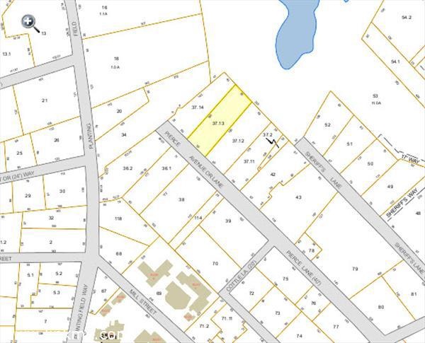
This home is located at 29 Pierce Ln, Edgartown, MA 02539 since 23 September 2013 and is currently estimated at $6,173,889. 29 Pierce Ln is a home with nearby schools including Edgartown Elementary School and Martha's Vineyard Regional High School.
Last Agent to Sell the Property
LINK Email Cache
LINK Listed on: 09/23/2013
| Date | Buyer | Sale Price | Title Company |
|---|---|---|---|
| Brooks Peter C | $1,000,000 | -- | |
| Merrick R Kleeman Irt | $810,000 | -- | |
| Saint Andrews Assoc In | $965,000 | -- |
| Date | Event | Price | List to Sale | Price per Sq Ft | Prior Sale |
|---|---|---|---|---|---|
| 09/23/2013 09/23/13 | Sold | $1,000,000 | +23.5% | -- | |
| 05/24/2012 05/24/12 | Sold | $810,000 | -- | -- | View Prior Sale |
| Year | Tax Paid | Tax Assessment Tax Assessment Total Assessment is a certain percentage of the fair market value that is determined by local assessors to be the total taxable value of land and additions on the property. | Land | Improvement |
|---|---|---|---|---|
| 2025 | $16,139 | $6,090,200 | $3,156,500 | $2,933,700 |
| 2024 | $11,833 | $4,640,200 | $1,803,300 | $2,836,900 |
| 2023 | $11,526 | $4,573,800 | $1,832,000 | $2,741,800 |
| 2022 | $9,558 | $3,154,600 | $1,359,700 | $1,794,900 |
| 2021 | $10,536 | $3,212,100 | $1,223,000 | $1,989,100 |
| 2020 | $10,586 | $3,160,100 | $1,171,000 | $1,989,100 |
| 2019 | $11,226 | $2,900,800 | $1,105,900 | $1,794,900 |
| 2018 | $10,661 | $2,754,800 | $1,064,400 | $1,690,400 |
| 2017 | $9,590 | $2,701,400 | $1,127,000 | $1,574,400 |
| 2016 | $6,641 | $1,834,400 | $1,127,000 | $707,400 |
| 2015 | $3,528 | $1,016,800 | $1,016,800 | $0 |
L
Seller's Agent in 2013
LINK Email Cache
LINK
Source: LINK (Vineyard)
MLS Number: 25702
APN: EDGA-000020B-000037-000013