Estimated Value: $325,000 - $337,145
2
Beds
1
Bath
1,162
Sq Ft
$286/Sq Ft
Est. Value
About This Home
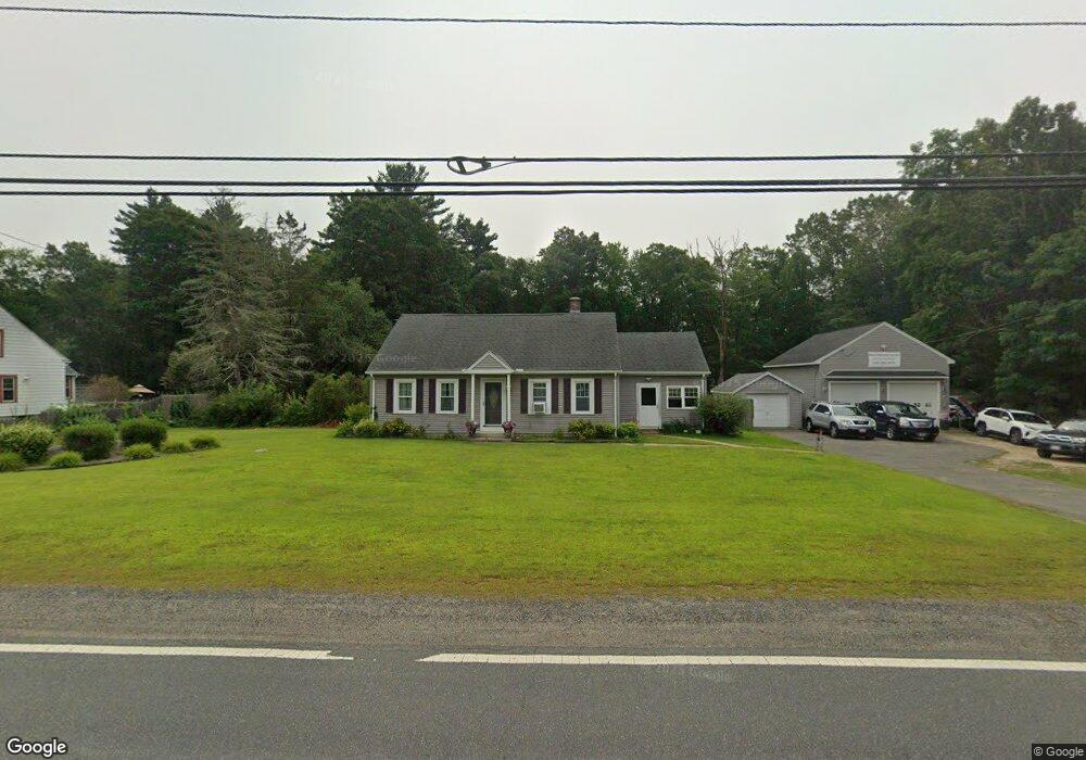
This home is located at 290 Palmer Rd, Ware, MA 01082 and is currently estimated at $332,036, approximately $285 per square foot. 290 Palmer Rd is a home located in Hampshire County with nearby schools including Stanley M. Koziol Elementary School, Ware Middle School, and Ware Junior/Senior High School.
Ownership History
Date
Name
Owned For
Owner Type
Purchase Details
Closed on
Nov 3, 2004
Sold by
Shea Carolyn L and Shea James F
Bought by
Pocai Denise A and Pocai Joe W
Current Estimated Value
Home Financials for this Owner
Home Financials are based on the most recent Mortgage that was taken out on this home.
Original Mortgage
$152,290
Interest Rate
5.71%
Mortgage Type
Purchase Money Mortgage
Create a Home Valuation Report for This Property
The Home Valuation Report is an in-depth analysis detailing your home's value as well as a comparison with similar homes in the area
Home Values in the Area
Average Home Value in this Area
Purchase History
| Date | Buyer | Sale Price | Title Company |
|---|---|---|---|
| Pocai Denise A | $157,000 | -- |
Source: Public Records
Mortgage History
| Date | Status | Borrower | Loan Amount |
|---|---|---|---|
| Open | Pocai Denise A | $131,000 | |
| Closed | Pocai Denise A | $152,290 |
Source: Public Records
Tax History
| Year | Tax Paid | Tax Assessment Tax Assessment Total Assessment is a certain percentage of the fair market value that is determined by local assessors to be the total taxable value of land and additions on the property. | Land | Improvement |
|---|---|---|---|---|
| 2025 | $4,364 | $289,800 | $54,300 | $235,500 |
| 2024 | $4,184 | $256,200 | $51,200 | $205,000 |
| 2023 | $4,113 | $238,300 | $49,600 | $188,700 |
| 2022 | $4,040 | $208,900 | $45,800 | $163,100 |
| 2021 | $4,012 | $198,800 | $45,800 | $153,000 |
| 2020 | $5,952 | $188,100 | $45,800 | $142,300 |
| 2019 | $3,802 | $188,100 | $45,800 | $142,300 |
| 2018 | $3,616 | $174,600 | $44,600 | $130,000 |
| 2017 | $3,041 | $146,400 | $44,600 | $101,800 |
| 2016 | $2,959 | $146,400 | $44,600 | $101,800 |
| 2015 | $2,877 | $146,400 | $44,600 | $101,800 |
| 2014 | $2,847 | $155,500 | $46,100 | $109,400 |
Source: Public Records
Map
Nearby Homes
- 310 Palmer Rd
- 201 West St
- LOT 3 Monson Turnpike Rd
- 201 Belchertown Rd
- 24 Clinton St
- 87 W Main St
- 30 Warebrook Village
- 67 Babcock Tavern Rd
- 375 Belchertown Rd
- Lot 16 Coldbrook Dr
- Lot 20 Coldbrook Dr
- Lot 22 Coldbrook Dr
- Lot 13 Coldbrook Dr
- Lot 25 Coldbrook Dr
- 23 West St Unit 25
- 7 Webb Ct
- 60 Quaboag Valley Co Op St
- 44 South St
- 378 Rondeau St
- 48 North St Unit 1
Your Personal Tour Guide
Ask me questions while you tour the home.