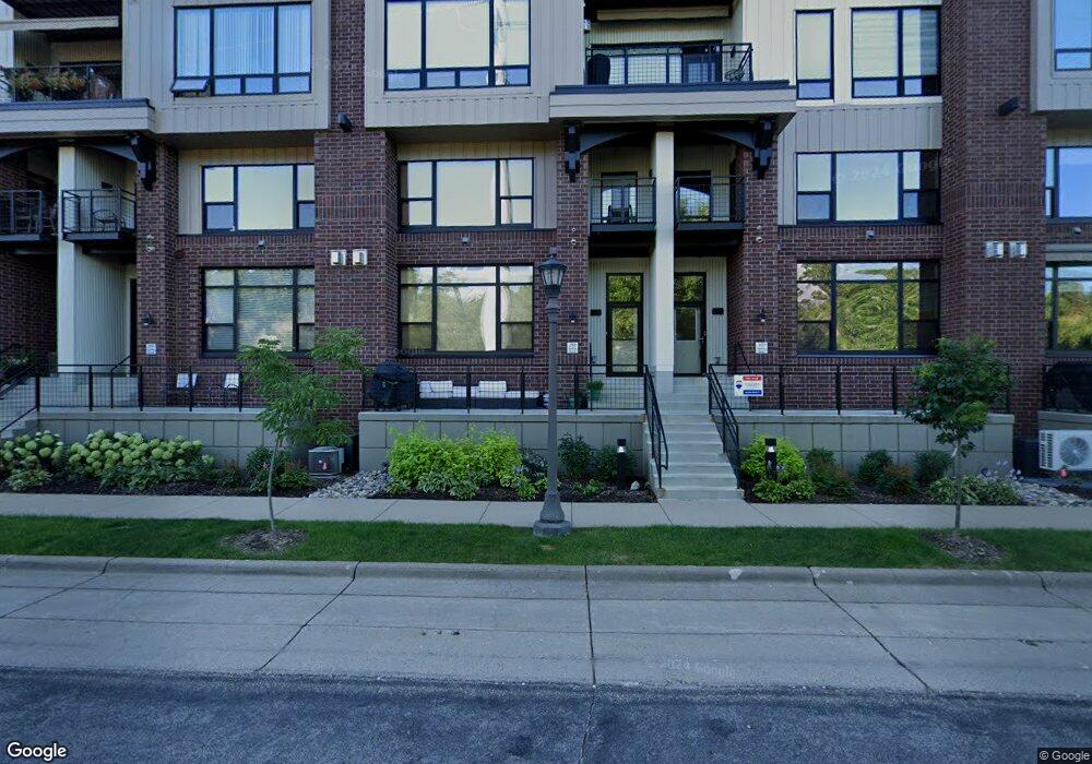
290 Spring St St. Paul, MN 55102
West Seventh NeighborhoodEstimated Value: $436,000 - $496,000
2
Beds
3
Baths
1,668
Sq Ft
$287/Sq Ft
Est. Value
About This Home
This home is located at 290 Spring St, St. Paul, MN 55102 and is currently estimated at $478,203, approximately $286 per square foot. 290 Spring St is a home located in Ramsey County with nearby schools including Jackson Elementary, Hidden River Middle School, and Central Senior High School.
Ownership History
Date
Name
Owned For
Owner Type
Purchase Details
Closed on
Apr 1, 2021
Sold by
Sievert Justin and Sievert Molly
Bought by
Anderson Blake Robert
Current Estimated Value
Home Financials for this Owner
Home Financials are based on the most recent Mortgage that was taken out on this home.
Original Mortgage
$382,850
Outstanding Balance
$345,667
Interest Rate
3%
Mortgage Type
New Conventional
Estimated Equity
$132,536
Create a Home Valuation Report for This Property
The Home Valuation Report is an in-depth analysis detailing your home's value as well as a comparison with similar homes in the area
Home Values in the Area
Average Home Value in this Area
Purchase History
| Date | Buyer | Sale Price | Title Company |
|---|---|---|---|
| Anderson Blake Robert | $403,000 | Multiple | |
| Anderson Blake Blake | $403,000 | -- |
Source: Public Records
Mortgage History
| Date | Status | Borrower | Loan Amount |
|---|---|---|---|
| Open | Anderson Blake Robert | $382,850 | |
| Closed | Anderson Blake Blake | $382,850 |
Source: Public Records
Tax History Compared to Growth
Tax History
| Year | Tax Paid | Tax Assessment Tax Assessment Total Assessment is a certain percentage of the fair market value that is determined by local assessors to be the total taxable value of land and additions on the property. | Land | Improvement |
|---|---|---|---|---|
| 2025 | $6,452 | $414,300 | $1,000 | $413,300 |
| 2023 | $6,452 | $414,400 | $1,000 | $413,400 |
| 2022 | $6,694 | $367,900 | $1,000 | $366,900 |
| 2021 | $6,280 | $410,700 | $1,000 | $409,700 |
| 2020 | $6,764 | $404,700 | $1,000 | $403,700 |
| 2019 | $5,706 | $404,700 | $1,000 | $403,700 |
| 2018 | $5,568 | $341,700 | $1,000 | $340,700 |
| 2017 | $5,404 | $341,700 | $1,000 | $340,700 |
| 2016 | $5,460 | $0 | $0 | $0 |
| 2015 | $5,576 | $335,000 | $33,500 | $301,500 |
| 2014 | $6,706 | $0 | $0 | $0 |
Source: Public Records
Map
Nearby Homes
- 190 Elm St
- 312 Spring St Unit 309
- 175 Sherman St Unit 204
- 294 Spring St
- 256 Spring St Unit 413
- 310 Ryan Ave
- 240 Spring St Unit 303
- 240 Spring St Unit 407
- 240 Spring St Unit 302
- 240 Spring St Unit 204
- 5 Irvine Park Unit 5B
- 360 Sherman St Unit 1607
- 89 Douglas St
- 275 Cliff St
- 334 Cherokee Ave Unit 108
- 334 Cherokee Ave Unit 103
- 309 W Harrison Ave
- 59 4th St W Unit 21C
- 59 4th St W Unit 22A
- 306 Irvine Ave
- 300 Spring St Unit 110
- 193 Sherman St
- 197 Sherman St
- 312 Spring St Unit 311
- 302 Spring St
- 195 Sherman St
- 312 Spring St Unit 306
- 312 Spring St Unit 310
- 296 Spring St
- 312 Spring St Unit 301
- 312 Spring St Unit 315
- 312 Spring St Unit 313
- 312 Spring St Unit 302
- 312 Spring St Unit 409
- 185 Sherman St
- 312 Spring St Unit 414
- 312 Spring St Unit 314
- 312 Spring St Unit 406
- 312 Spring St Unit 312
- 312 Spring St Unit 305