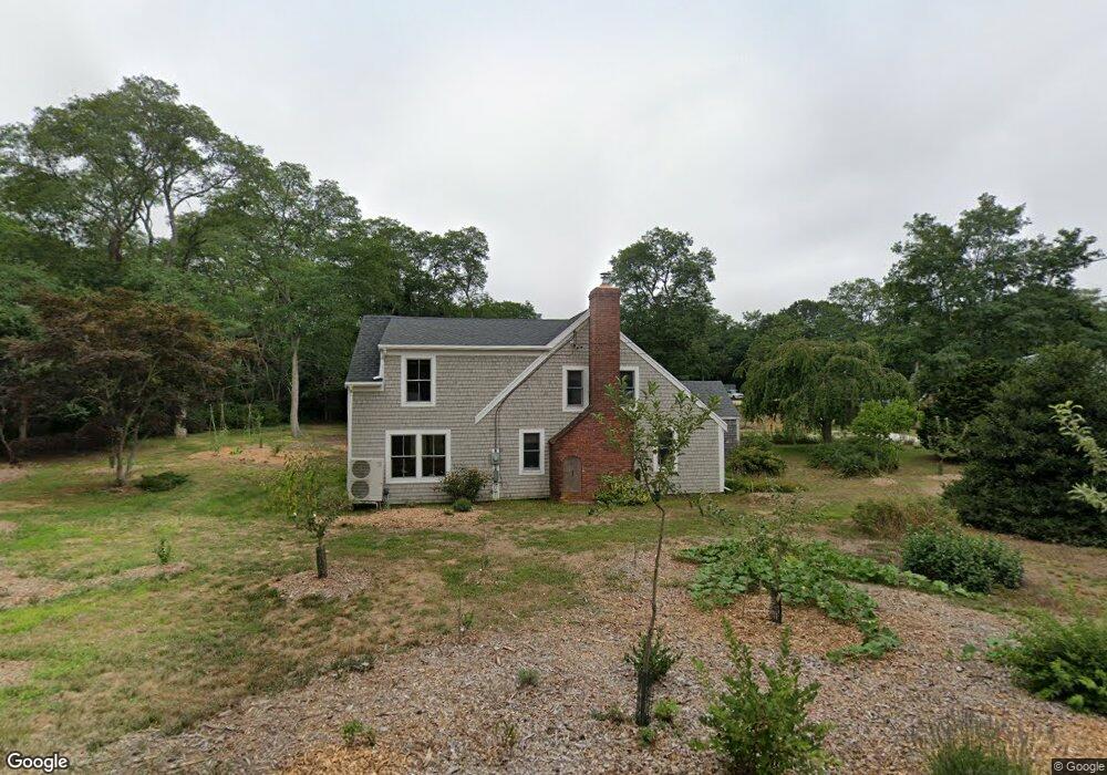
2905 Herring Brook Rd Eastham, MA 02642
Estimated Value: $752,000 - $1,143,000
4
Beds
2
Baths
1,708
Sq Ft
$563/Sq Ft
Est. Value
About This Home
This home is located at 2905 Herring Brook Rd, Eastham, MA 02642 and is currently estimated at $962,145, approximately $563 per square foot. 2905 Herring Brook Rd is a home located in Barnstable County with nearby schools including Eastham Elementary School, Nauset Regional Middle School, and Nauset Regional High School.
Ownership History
Date
Name
Owned For
Owner Type
Purchase Details
Closed on
Jan 7, 2011
Sold by
First Horizon Home Loa
Bought by
Cox Carol S
Current Estimated Value
Purchase Details
Closed on
Aug 3, 2010
Sold by
Poor Kathryn A
Bought by
First Tennessee Bk
Create a Home Valuation Report for This Property
The Home Valuation Report is an in-depth analysis detailing your home's value as well as a comparison with similar homes in the area
Home Values in the Area
Average Home Value in this Area
Purchase History
| Date | Buyer | Sale Price | Title Company |
|---|---|---|---|
| Cox Carol S | $270,000 | -- | |
| First Tennessee Bk | $323,000 | -- |
Source: Public Records
Tax History
| Year | Tax Paid | Tax Assessment Tax Assessment Total Assessment is a certain percentage of the fair market value that is determined by local assessors to be the total taxable value of land and additions on the property. | Land | Improvement |
|---|---|---|---|---|
| 2025 | $6,427 | $833,600 | $280,900 | $552,700 |
| 2024 | $5,367 | $765,600 | $245,500 | $520,100 |
| 2023 | $4,929 | $680,800 | $227,300 | $453,500 |
| 2022 | $4,595 | $535,600 | $202,900 | $332,700 |
| 2021 | $4,468 | $486,700 | $184,500 | $302,200 |
| 2020 | $4,107 | $471,000 | $188,300 | $282,700 |
| 2019 | $3,862 | $468,100 | $182,800 | $285,300 |
| 2018 | $3,796 | $454,600 | $177,500 | $277,100 |
| 2017 | $2,925 | $370,300 | $174,000 | $196,300 |
| 2016 | $2,909 | $391,000 | $193,300 | $197,700 |
| 2015 | $2,709 | $381,500 | $189,500 | $192,000 |
Source: Public Records
Map
Nearby Homes
- 10 Bradford Ln
- 255 Massasoit Rd
- 20 Oak Rd
- 85 Huckleberry Ln
- 82 Old Orchard Rd
- 600 Kingsbury Beach Rd
- 25 Forrest Ave
- 5470 State Hwy
- 100 Gigi Ln
- 340 Salt Works Rd
- 70 Deerfield Ln
- 315 Candlewood Dr
- 20 Billingsgate Ave
- 49 Village Ln
- 2705 State Hwy
- 2705 State Hwy Unit 1-8
- 46 Spring Brook Rd
- 135 Nauset Light Beach Rd
- 245 Nauset Light Beach Rd
- 157 Brownell Rd
- 2950 Herringbrook
- 2955 Herring Brook Rd
- 115 Campground Rd
- 5 Anderson Ln
- 20 Bradford Ln
- 2950 Herring Brook Rd
- 10 Anderson Ln
- 95 Campground Rd
- 30 Bradford Ln
- 5 Bradford Ln
- 15 Anderson Ln
- 3050 Herring Brook Rd
- 15 Bradford Ln
- 2850 Herring Brook Rd
- 20 Anderson Ln
- 25 Bradford Ln
- 35 Bradford Ln
- 175 Campground Rd
- 25 Anderson Ln
- 15 Campground Rd
Your Personal Tour Guide
Ask me questions while you tour the home.