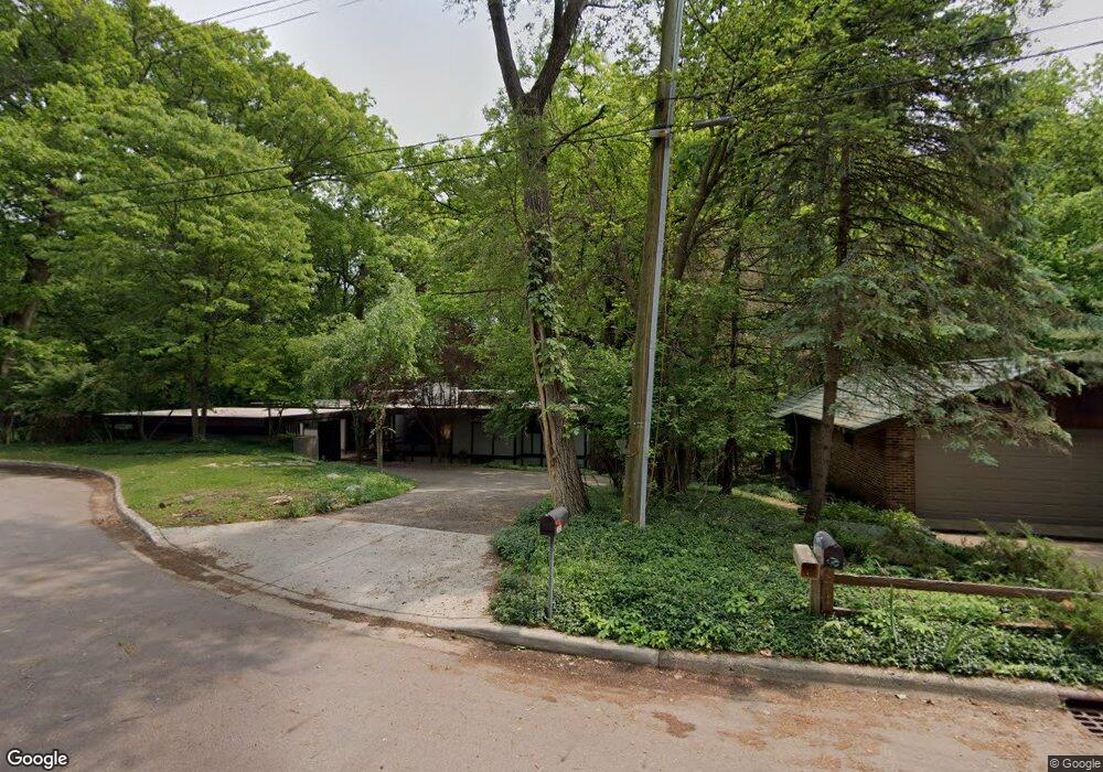
2909 Memory Ln Kalamazoo, MI 49006
Arcadia NeighborhoodEstimated Value: $273,000 - $308,563
4
Beds
2
Baths
2,448
Sq Ft
$117/Sq Ft
Est. Value
About This Home
This home is located at 2909 Memory Ln, Kalamazoo, MI 49006 and is currently estimated at $286,891, approximately $117 per square foot. 2909 Memory Ln is a home located in Kalamazoo County with nearby schools including Arcadia Elementary School, Linden Grove Middle School, and Kalamazoo Central High School.
Ownership History
Date
Name
Owned For
Owner Type
Purchase Details
Closed on
Jan 20, 2021
Sold by
Jefferies Daniel and Jefferies Evie
Bought by
Jefferies Daniel
Current Estimated Value
Purchase Details
Closed on
May 18, 2006
Sold by
Gregory David Stanley
Bought by
Hsbc Mortgage Services Inc
Purchase Details
Closed on
Nov 25, 2004
Sold by
Gregory David Stanley
Bought by
David Stanley Gregory Living Trust
Home Financials for this Owner
Home Financials are based on the most recent Mortgage that was taken out on this home.
Original Mortgage
$263,500
Interest Rate
6.46%
Mortgage Type
Stand Alone Refi Refinance Of Original Loan
Create a Home Valuation Report for This Property
The Home Valuation Report is an in-depth analysis detailing your home's value as well as a comparison with similar homes in the area
Home Values in the Area
Average Home Value in this Area
Purchase History
| Date | Buyer | Sale Price | Title Company |
|---|---|---|---|
| Jefferies Daniel | -- | Accommodation | |
| Hsbc Mortgage Services Inc | $161,690 | None Available | |
| David Stanley Gregory Living Trust | -- | Title Source | |
| Gregory David Stanley | -- | Title Source |
Source: Public Records
Mortgage History
| Date | Status | Borrower | Loan Amount |
|---|---|---|---|
| Previous Owner | Gregory David Stanley | $263,500 |
Source: Public Records
Tax History
| Year | Tax Paid | Tax Assessment Tax Assessment Total Assessment is a certain percentage of the fair market value that is determined by local assessors to be the total taxable value of land and additions on the property. | Land | Improvement |
|---|---|---|---|---|
| 2025 | $2,539 | $151,500 | $0 | $0 |
| 2024 | $2,465 | $140,700 | $0 | $0 |
| 2023 | $2,349 | $122,400 | $0 | $0 |
| 2022 | $4,003 | $108,300 | $0 | $0 |
| 2021 | $3,871 | $102,000 | $0 | $0 |
| 2020 | $3,791 | $95,300 | $0 | $0 |
| 2019 | $3,614 | $88,100 | $0 | $0 |
| 2018 | $3,529 | $79,900 | $0 | $0 |
| 2017 | $3,521 | $80,400 | $0 | $0 |
| 2016 | $3,521 | $77,100 | $0 | $0 |
| 2015 | $3,521 | $72,500 | $0 | $0 |
| 2014 | $3,521 | $67,200 | $0 | $0 |
Source: Public Records
Map
Nearby Homes
- 520 S Kendall Ave
- 909 Westfall Ave
- 4228 Corvo Trace
- 3514 Edinburgh Dr
- 3526 Alianca Terrace
- 1203 Euclid Ave
- 125 Balmoral Ct
- 3125 W Michigan Ave
- 141 Selkirk Ct Unit 103
- 160 Carberry Hill Ct Unit 40
- 156 Carberry Hill Ct Unit 42
- 213 Paisley Ct Unit B
- 209 Paisley Ct
- 3700 Marabella Place
- 3704 Marabella Place
- 3708 Marabella Place
- 238 Falkirk Ct
- 3621 Middlebury Dr
- 3419 W Michigan Ave
- 2720 W Main St
- 2915 Memory Ln
- 2905 Memory Ln
- 2924 Memory Ln
- 2923 Memory Ln
- 2906 Memory Ln
- 2902 Memory Ln
- 549 S Kendall Ave
- 2929 Memory Ln
- 613 S Kendall Ave
- 0 Memory Ln
- 535 S Kendall Ave
- 2935 Memory Ln
- 641 Memory Ln
- 717 S Kendall Ave
- 606 S Kendall Ave
- 530 S Kendall Ave
- 616 S Kendall Ave
- 729 Farrell Ave
- 709 S Kendall Ave
- 605 Weaver Ave
Your Personal Tour Guide
Ask me questions while you tour the home.