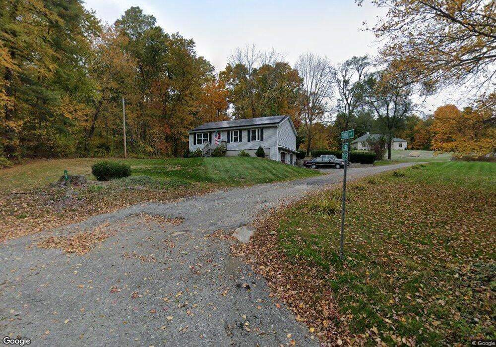
291 Manchaug Rd Sutton, MA 01590
Estimated Value: $440,000 - $510,000
3
Beds
1
Bath
1,120
Sq Ft
$416/Sq Ft
Est. Value
About This Home
This home is located at 291 Manchaug Rd, Sutton, MA 01590 and is currently estimated at $466,299, approximately $416 per square foot. 291 Manchaug Rd is a home located in Worcester County with nearby schools including Sutton Elementary School, Sutton Middle School, and Sutton High School.
Ownership History
Date
Name
Owned For
Owner Type
Purchase Details
Closed on
Apr 27, 1995
Sold by
Fnma
Bought by
Willette Melissa A
Current Estimated Value
Purchase Details
Closed on
Sep 22, 1994
Sold by
Anderson Michael R
Bought by
Federal National Mortgage Association
Create a Home Valuation Report for This Property
The Home Valuation Report is an in-depth analysis detailing your home's value as well as a comparison with similar homes in the area
Home Values in the Area
Average Home Value in this Area
Purchase History
| Date | Buyer | Sale Price | Title Company |
|---|---|---|---|
| Willette Melissa A | $85,000 | -- | |
| Federal National Mortgage Association | $88,200 | -- |
Source: Public Records
Mortgage History
| Date | Status | Borrower | Loan Amount |
|---|---|---|---|
| Open | Federal National Mortgage Association | $15,000 | |
| Open | Federal National Mortgage Association | $181,000 |
Source: Public Records
Tax History Compared to Growth
Tax History
| Year | Tax Paid | Tax Assessment Tax Assessment Total Assessment is a certain percentage of the fair market value that is determined by local assessors to be the total taxable value of land and additions on the property. | Land | Improvement |
|---|---|---|---|---|
| 2025 | $5,148 | $428,300 | $160,200 | $268,100 |
| 2024 | $5,470 | $431,400 | $153,400 | $278,000 |
| 2023 | $4,679 | $337,800 | $138,700 | $199,100 |
| 2022 | $4,853 | $319,700 | $111,000 | $208,700 |
| 2021 | $4,403 | $275,200 | $111,000 | $164,200 |
| 2020 | $4,365 | $275,200 | $111,000 | $164,200 |
| 2019 | $4,199 | $254,200 | $108,600 | $145,600 |
| 2018 | $6,845 | $228,600 | $92,300 | $136,300 |
| 2017 | $3,651 | $221,300 | $81,300 | $140,000 |
| 2016 | $3,600 | $215,800 | $81,300 | $134,500 |
| 2015 | $3,474 | $208,300 | $81,300 | $127,000 |
| 2014 | $3,298 | $195,400 | $79,000 | $116,400 |
Source: Public Records
Map
Nearby Homes
- 4 1st St
- 24 Cote Ln
- 34R Tucker Ln
- 3 Ledge St
- 8A Whitins Rd
- 8 Whitins Rd Unit A
- 18 Mumford Rd
- 108 Mumford St
- 223 West St
- 18 Lakeshore Dr
- 14 Whitin Heights
- 19 Laurel Glades
- 45 Douglas Hill Way
- 31 Douglas Rd
- 24 Manchaug Rd
- 33 Nautical Way Unit 107
- 1 Nautical Way Unit 1
- 6 Nautical Way Unit INT.-122
- 265 Mendon Rd
- 190 Whitins Rd
- 295 Manchaug Rd
- 294 Manchaug Rd
- 283 Manchaug Rd
- 284 Manchaug Rd
- 299 Manchaug Rd
- 282 Manchaug Rd
- 275 Manchaug Rd
- 306 Manchaug Rd
- 305 Manchaug Rd
- 297 Manchaug Rd
- 6 Parker Rd
- 309 Manchaug Rd
- 313 Manchaug Rd
- 268 Manchaug Rd
- 267 Manchaug Rd
- 316 Manchaug Rd
- 317 Manchaug Rd
- 318 Manchaug Rd
- 264 Manchaug Rd
- 21 Carrier Ln