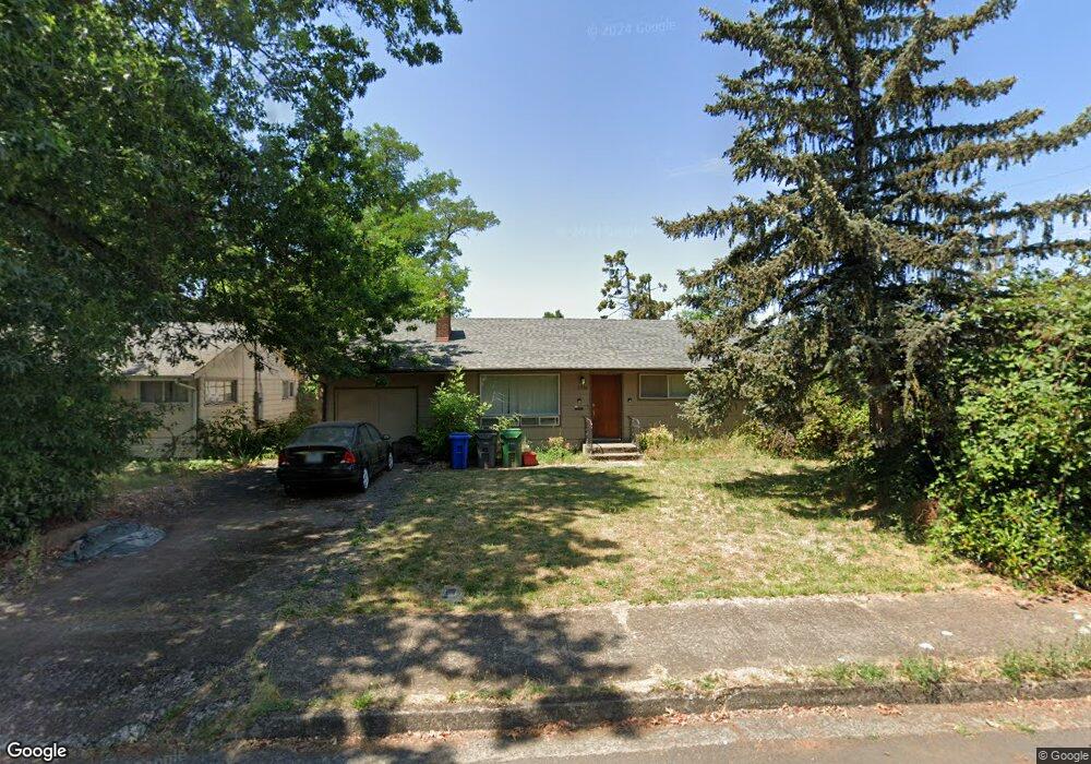
2910 Ferry St Eugene, OR 97405
Southeast Eugene NeighborhoodEstimated Value: $379,000 - $436,978
3
Beds
1
Bath
1,036
Sq Ft
$396/Sq Ft
Est. Value
About This Home
This home is located at 2910 Ferry St, Eugene, OR 97405 and is currently estimated at $410,745, approximately $396 per square foot. 2910 Ferry St is a home located in Lane County with nearby schools including Adams Elementary School, Roosevelt Middle School, and South Eugene High School.
Ownership History
Date
Name
Owned For
Owner Type
Purchase Details
Closed on
Jul 26, 2018
Sold by
Barnhart Marjorie Geiser
Bought by
Barnhart Matthew B
Current Estimated Value
Home Financials for this Owner
Home Financials are based on the most recent Mortgage that was taken out on this home.
Original Mortgage
$157,500
Outstanding Balance
$136,516
Interest Rate
4.6%
Mortgage Type
New Conventional
Estimated Equity
$274,229
Purchase Details
Closed on
Jun 24, 2014
Sold by
Resch David J and Resch Marlene H
Bought by
Barnhart Majorie Geiser
Create a Home Valuation Report for This Property
The Home Valuation Report is an in-depth analysis detailing your home's value as well as a comparison with similar homes in the area
Home Values in the Area
Average Home Value in this Area
Purchase History
| Date | Buyer | Sale Price | Title Company |
|---|---|---|---|
| Barnhart Matthew B | $175,000 | Western Title & Escrow | |
| Barnhart Majorie Geiser | $172,000 | Cascade Title Company |
Source: Public Records
Mortgage History
| Date | Status | Borrower | Loan Amount |
|---|---|---|---|
| Open | Barnhart Matthew B | $157,500 |
Source: Public Records
Tax History
| Year | Tax Paid | Tax Assessment Tax Assessment Total Assessment is a certain percentage of the fair market value that is determined by local assessors to be the total taxable value of land and additions on the property. | Land | Improvement |
|---|---|---|---|---|
| 2025 | $3,923 | $201,369 | -- | -- |
| 2024 | $3,875 | $195,504 | -- | -- |
| 2023 | $3,875 | $189,810 | $0 | $0 |
| 2022 | $3,630 | $184,282 | $0 | $0 |
| 2021 | $3,286 | $172,457 | $0 | $0 |
| 2020 | $3,239 | $164,437 | $0 | $0 |
| 2019 | $2,871 | $146,514 | $0 | $0 |
| 2018 | $2,702 | $138,104 | $0 | $0 |
| 2017 | $2,581 | $138,104 | $0 | $0 |
| 2016 | $2,517 | $134,082 | $0 | $0 |
| 2015 | $2,445 | $130,177 | $0 | $0 |
| 2014 | $2,396 | $126,385 | $0 | $0 |
Source: Public Records
Map
Nearby Homes
- 3023 Hummingbird Ln
- 3031 Hummingbird Ln
- 2815 Hilyard St
- 2749 Hilyard St
- 2707 Hilyard St
- 478 E 32nd Ave
- 2990 Kincaid St
- 790 E 32nd Ave
- 2925 Charnelton St
- 2610 Elinor St
- 894 E 35th Ave
- 3615 Donald St
- 810 E 37th Ave
- 193 E 20th Ave
- 177 E 20th Ave
- 171 E 20th Ave
- 1970 Amazon Pkwy
- 181 Civic Dr
- 2031 Olive St
- 0 Agate St
Your Personal Tour Guide
Ask me questions while you tour the home.