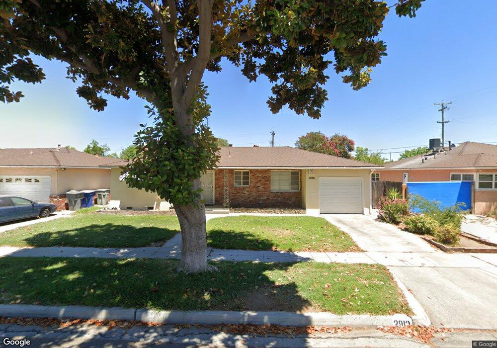
2912 N 7th St Fresno, CA 93703
McLane NeighborhoodEstimated Value: $284,012 - $307,000
2
Beds
1
Bath
1,134
Sq Ft
$257/Sq Ft
Est. Value
About This Home
This home is located at 2912 N 7th St, Fresno, CA 93703 and is currently estimated at $291,503, approximately $257 per square foot. 2912 N 7th St is a home located in Fresno County with nearby schools including Wishon Elementary School, Scandinavian Middle School, and Mclane High School.
Ownership History
Date
Name
Owned For
Owner Type
Purchase Details
Closed on
Sep 18, 2002
Sold by
Foreman Gary A
Bought by
Worrell Harold
Current Estimated Value
Home Financials for this Owner
Home Financials are based on the most recent Mortgage that was taken out on this home.
Original Mortgage
$93,457
Outstanding Balance
$38,327
Interest Rate
5.99%
Mortgage Type
FHA
Estimated Equity
$253,176
Purchase Details
Closed on
Sep 26, 1998
Sold by
Grimm Susie M
Bought by
Grimm Susie M
Create a Home Valuation Report for This Property
The Home Valuation Report is an in-depth analysis detailing your home's value as well as a comparison with similar homes in the area
Home Values in the Area
Average Home Value in this Area
Purchase History
| Date | Buyer | Sale Price | Title Company |
|---|---|---|---|
| Worrell Harold | $95,000 | Chicago Title Company | |
| Grimm Susie M | -- | -- |
Source: Public Records
Mortgage History
| Date | Status | Borrower | Loan Amount |
|---|---|---|---|
| Open | Worrell Harold | $93,457 | |
| Closed | Worrell Harold | $6,300 |
Source: Public Records
Tax History Compared to Growth
Tax History
| Year | Tax Paid | Tax Assessment Tax Assessment Total Assessment is a certain percentage of the fair market value that is determined by local assessors to be the total taxable value of land and additions on the property. | Land | Improvement |
|---|---|---|---|---|
| 2025 | $1,638 | $137,425 | $31,852 | $105,573 |
| 2023 | $1,606 | $132,090 | $30,616 | $101,474 |
| 2022 | $1,582 | $129,501 | $30,016 | $99,485 |
| 2021 | $1,537 | $126,963 | $29,428 | $97,535 |
| 2020 | $1,530 | $125,662 | $29,127 | $96,535 |
| 2019 | $1,470 | $123,199 | $28,556 | $94,643 |
| 2018 | $1,436 | $120,785 | $27,997 | $92,788 |
| 2017 | $1,410 | $118,418 | $27,449 | $90,969 |
| 2016 | $1,362 | $116,097 | $26,911 | $89,186 |
| 2015 | $1,263 | $108,100 | $25,000 | $83,100 |
| 2014 | $1,182 | $101,400 | $23,500 | $77,900 |
Source: Public Records
Map
Nearby Homes
- 3803 E Shields Ave
- 3926 E Fountain Way
- 3415 E Terrace Ave
- 3445 N 9th St
- 3645 E Cortland Ave
- 3646 E Dayton Ave
- 3514 Mayfair Dr N
- 3243 E Simpson Ave
- 2154 Norris Dr E
- 3473 E Dayton Ave
- 2042 Mayfair Dr E
- 3433 E Dayton Ave
- 3250 E Clinton Ave
- 3004 N First St
- 2904 N First St
- 2513 N 2nd St
- 3715 E Garland Ave
- 4454 E Simpson Ave
- 2414 N 1st St
- 4002 E Dakota Ave Unit 104
- 2922 N 7th St
- 2902 N 7th St
- 2915 N 8th St
- 2905 N 8th St
- 2932 N 7th St
- 2925 N 8th St
- 2903 N 7th St
- 2935 N 8th St
- 2915 N 7th St
- 2942 N 7th St
- 2925 N 7th St
- 3754 E Michigan Ave
- 3744 E Michigan Ave
- 2945 N 8th St
- 3764 E Michigan Ave
- 2935 N 7th St
- 3742 E Michigan Ave
- 3002 N 7th St
- 2904 N Millbrook Ave
- 3774 E Michigan Ave