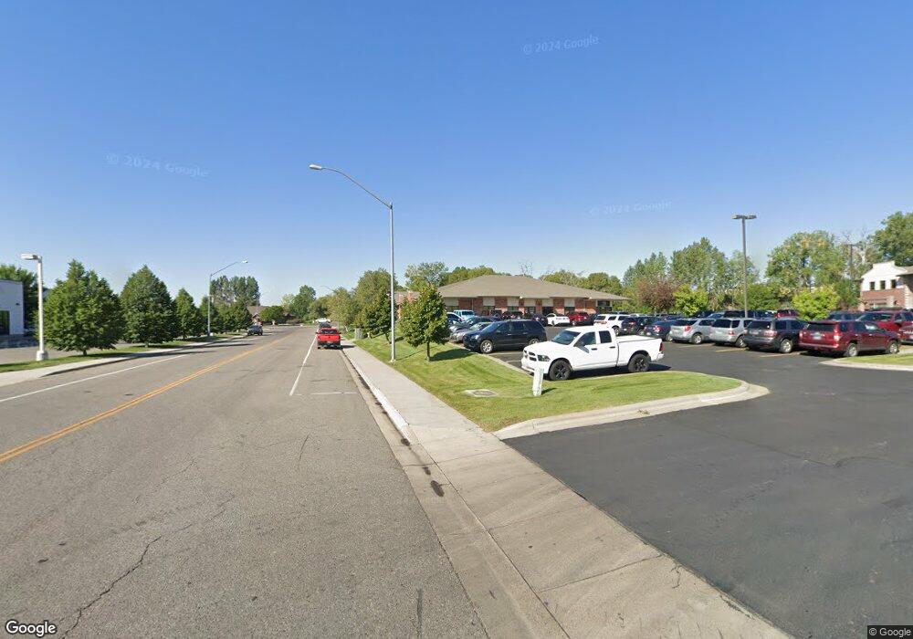
2913 Millennium Cir Billings, MT 59102
West End NeighborhoodEstimated Value: $2,108,727
--
Bed
--
Bath
20,275
Sq Ft
$104/Sq Ft
Est. Value
About This Home
This home is located at 2913 Millennium Cir, Billings, MT 59102 and is currently estimated at $2,108,727, approximately $104 per square foot. 2913 Millennium Cir is a home located in Yellowstone County with nearby schools including Elysian Elementary School, Elysian School, and Billings West High School.
Ownership History
Date
Name
Owned For
Owner Type
Purchase Details
Closed on
May 10, 2024
Sold by
Mullen Investments Ii Llc
Bought by
Ss & Bw Llc
Current Estimated Value
Home Financials for this Owner
Home Financials are based on the most recent Mortgage that was taken out on this home.
Original Mortgage
$1,680,000
Outstanding Balance
$1,624,953
Interest Rate
6.82%
Mortgage Type
New Conventional
Estimated Equity
$483,774
Purchase Details
Closed on
Dec 30, 2021
Sold by
Neil Johnson Enterprises and Neil Johnson Farms
Bought by
Mullen Investments Ii Llc
Purchase Details
Closed on
Jul 1, 2005
Sold by
Mccall Development Inc
Bought by
Neil Jonson Farms and Njt Johnson Inc
Create a Home Valuation Report for This Property
The Home Valuation Report is an in-depth analysis detailing your home's value as well as a comparison with similar homes in the area
Home Values in the Area
Average Home Value in this Area
Purchase History
| Date | Buyer | Sale Price | Title Company |
|---|---|---|---|
| Ss & Bw Llc | -- | Flying S Title And Escrow | |
| Mullen Investments Ii Llc | -- | First Montana Title Company | |
| Neil Jonson Farms | -- | None Available |
Source: Public Records
Mortgage History
| Date | Status | Borrower | Loan Amount |
|---|---|---|---|
| Open | Ss & Bw Llc | $1,680,000 |
Source: Public Records
Tax History Compared to Growth
Tax History
| Year | Tax Paid | Tax Assessment Tax Assessment Total Assessment is a certain percentage of the fair market value that is determined by local assessors to be the total taxable value of land and additions on the property. | Land | Improvement |
|---|---|---|---|---|
| 2025 | $31,446 | $2,453,300 | $1,071,289 | $1,382,011 |
| 2024 | $31,446 | $2,427,500 | $856,383 | $1,571,117 |
| 2023 | $40,202 | $3,044,700 | $856,383 | $2,188,317 |
| 2022 | $36,991 | $3,317,300 | $0 | $0 |
| 2021 | $43,548 | $3,317,300 | $0 | $0 |
| 2020 | $43,161 | $3,188,300 | $0 | $0 |
| 2019 | $41,016 | $3,188,300 | $0 | $0 |
| 2018 | $42,059 | $3,185,500 | $0 | $0 |
| 2017 | $33,795 | $3,185,500 | $0 | $0 |
| 2016 | $36,979 | $2,971,300 | $0 | $0 |
| 2015 | $36,037 | $2,971,300 | $0 | $0 |
| 2014 | $33,957 | $2,049,400 | $0 | $0 |
Source: Public Records
Map
Nearby Homes
- 28 Gatewood Dr
- 33 Wheatland Dr
- 31 Wheatland Dr
- 36 Brookpark Dr
- 14 Wild Oak Dr
- 24 Willow Bend Dr S
- 4 W Meadow Dr
- 30 Brookpark Dr
- 7 W Meadows
- 16 Brookpark Dr
- 14 W Meadow Dr
- 44 Redrock Dr
- 25 Redrock Dr
- 8 Brookpark Dr
- 3295 Granger Ave E Unit 6
- 44 Vista Dr
- 3254 Granger Ave E Unit F6
- 3254 Granger Ave E Unit K-1
- 46 Vista Dr
- 3385 Granger Ave S Unit 4
- 2905 Millennium Cir
- 2905 Millennium Cir
- 2905 Millennium Cir
- 2905 Millennium Cir
- 2905 Millennium Cir
- 2905 Millennium Cir
- 2905 Millennium Cir
- 1140 S 29th St W
- 00 S 29th St W
- 0 S 29th St W
- 1057 S 29th St W
- 1057 S 29th St W
- 1057 S 29th St W
- 1057 S 29th St W
- 1033 S 29th St W
- 1033 S 29th St W
- 1033 S 29th St W
- 1033 S 29th St W
- 2877 Overland Ave
- 1127 S 31st St W