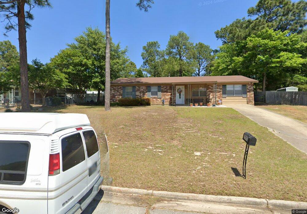
2913 Rollingwood Dr Augusta, GA 30906
Meadowbrook NeighborhoodEstimated Value: $141,233 - $165,000
3
Beds
1
Bath
1,378
Sq Ft
$109/Sq Ft
Est. Value
About This Home
This home is located at 2913 Rollingwood Dr, Augusta, GA 30906 and is currently estimated at $150,558, approximately $109 per square foot. 2913 Rollingwood Dr is a home located in Richmond County with nearby schools including Meadowbrook Elementary School, Glenn Hills Middle School, and Johnson Magnet.
Ownership History
Date
Name
Owned For
Owner Type
Purchase Details
Closed on
Feb 12, 2016
Sold by
Beck Dorothy
Bought by
Augusta Georgia Land Bank Authority
Current Estimated Value
Purchase Details
Closed on
Jan 26, 2016
Sold by
Washington Zanders
Bought by
Beck Dorothy
Purchase Details
Closed on
Feb 21, 1989
Sold by
Nelson Dennis E
Bought by
Nelson Doris I
Purchase Details
Closed on
Sep 1, 1980
Create a Home Valuation Report for This Property
The Home Valuation Report is an in-depth analysis detailing your home's value as well as a comparison with similar homes in the area
Home Values in the Area
Average Home Value in this Area
Purchase History
| Date | Buyer | Sale Price | Title Company |
|---|---|---|---|
| Augusta Georgia Land Bank Authority | $44,000 | -- | |
| Beck Dorothy | -- | -- | |
| Nelson Doris I | -- | -- | |
| -- | $28,000 | -- |
Source: Public Records
Tax History
| Year | Tax Paid | Tax Assessment Tax Assessment Total Assessment is a certain percentage of the fair market value that is determined by local assessors to be the total taxable value of land and additions on the property. | Land | Improvement |
|---|---|---|---|---|
| 2025 | $697 | $43,588 | $6,400 | $37,188 |
| 2024 | $697 | $40,988 | $6,400 | $34,588 |
| 2023 | $665 | $45,012 | $6,400 | $38,612 |
| 2022 | $597 | $29,425 | $6,400 | $23,025 |
| 2021 | $615 | $28,885 | $6,400 | $22,485 |
| 2020 | $617 | $28,885 | $6,400 | $22,485 |
| 2019 | $633 | $28,885 | $6,400 | $22,485 |
| 2018 | $635 | $28,885 | $6,400 | $22,485 |
| 2017 | $605 | $28,885 | $6,400 | $22,485 |
| 2016 | $605 | $28,885 | $6,400 | $22,485 |
| 2015 | $605 | $28,885 | $6,400 | $22,485 |
| 2014 | $603 | $28,724 | $6,400 | $22,324 |
Source: Public Records
Map
Nearby Homes
- 2538 Kensington Dr W
- 2914 Cumberland Dr
- 3421 Mcalpine Dr
- 3427 Chadbourne St
- 3415 Cauthen Dr
- 2965 Meadowbrook Dr
- 3529 Evangeline Dr
- 3602 Audubon Place
- 3602 Kinglet Ct
- 3614 Rolling Meadows Dr
- 2532 Kensington Dr E
- 3526 Spring Glen Ln
- 3621 Columbine Dr
- 2940 Dahlia Dr
- 2916 Panhandle Cir
- 3531 Spring Glen Ln
- 3625 Meadowgrove Dr
- 3628 Larkspur Dr
- 3535 Redd Dr
- 3608 Sturnidae Dr
- 2915 Rollingwood Dr
- 2911 Rollingwood Dr
- 2549 Kensington Dr W
- 2917 Rollingwood Dr
- 2549 W Kensington Dr
- 2547 Kensington Dr W
- 2909 Rollingwood Dr
- 2551 Kensington Dr West Dr
- 2551 Kensington Dr W
- 2551 W Kensington Dr
- 2910 Rollingwood Dr
- 2908 Rollingwood Dr
- 2912 Rollingwood Dr
- 2545 Kensington Dr W
- 2545 W Kensington Dr
- 2553 Kensington Dr W
- 2919 Rollingwood Dr
- 2914 Rollingwood Dr
- 3505 Southwick Rd
- 2543 W Kensington Dr
Your Personal Tour Guide
Ask me questions while you tour the home.