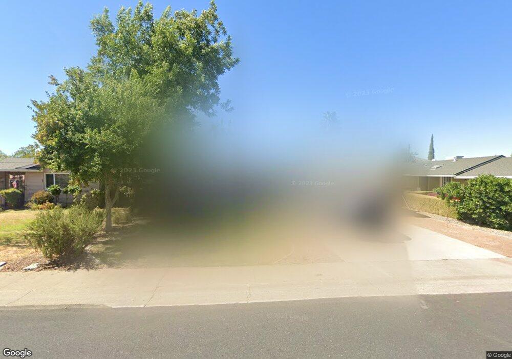
2913 Winchester Way Rancho Cordova, CA 95670
White Rock NeighborhoodEstimated Value: $300,000 - $441,000
3
Beds
2
Baths
1,280
Sq Ft
$310/Sq Ft
Est. Value
About This Home
This home is located at 2913 Winchester Way, Rancho Cordova, CA 95670 and is currently estimated at $397,360, approximately $310 per square foot. 2913 Winchester Way is a home located in Sacramento County with nearby schools including White Rock Elementary School, Mills Middle School, and Cordova High School.
Ownership History
Date
Name
Owned For
Owner Type
Purchase Details
Closed on
Apr 24, 2007
Sold by
Mclenney Carolyn and Rufus E Williams Trust
Bought by
Craig Scott D
Current Estimated Value
Home Financials for this Owner
Home Financials are based on the most recent Mortgage that was taken out on this home.
Original Mortgage
$195,000
Outstanding Balance
$117,643
Interest Rate
6.11%
Mortgage Type
Purchase Money Mortgage
Estimated Equity
$279,717
Create a Home Valuation Report for This Property
The Home Valuation Report is an in-depth analysis detailing your home's value as well as a comparison with similar homes in the area
Home Values in the Area
Average Home Value in this Area
Purchase History
| Date | Buyer | Sale Price | Title Company |
|---|---|---|---|
| Craig Scott D | $260,000 | First American Title Co |
Source: Public Records
Mortgage History
| Date | Status | Borrower | Loan Amount |
|---|---|---|---|
| Open | Craig Scott D | $195,000 |
Source: Public Records
Tax History Compared to Growth
Tax History
| Year | Tax Paid | Tax Assessment Tax Assessment Total Assessment is a certain percentage of the fair market value that is determined by local assessors to be the total taxable value of land and additions on the property. | Land | Improvement |
|---|---|---|---|---|
| 2025 | $4,019 | $348,326 | $227,754 | $120,572 |
| 2024 | $4,019 | $341,497 | $223,289 | $118,208 |
| 2023 | $3,938 | $334,802 | $218,911 | $115,891 |
| 2022 | $3,888 | $328,238 | $214,619 | $113,619 |
| 2021 | $3,811 | $321,803 | $210,411 | $111,392 |
| 2020 | $3,787 | $318,504 | $208,254 | $110,250 |
| 2019 | $3,725 | $312,260 | $204,171 | $108,089 |
| 2018 | $3,505 | $295,642 | $193,307 | $102,335 |
| 2017 | $3,140 | $266,345 | $174,151 | $92,194 |
| 2016 | $2,791 | $235,704 | $154,116 | $81,588 |
| 2015 | $2,443 | $214,277 | $140,106 | $74,171 |
| 2014 | $2,500 | $202,148 | $132,175 | $69,973 |
Source: Public Records
Map
Nearby Homes
- 10335 White Rock Rd
- 10395 S White Rock Rd Unit B
- 10472 Abbottford Way
- 10320 Malaga Way
- 10518 Mills Acres Cir
- 10276 S White Rock Rd
- 2669 Dawes St
- 10035 Mills Station Rd
- 10035 Mills Station Rd Unit 60
- 10035 Mills Station Rd Unit 26
- 10035 Mills Station Rd Unit 136
- 10035 Mills Station Rd Unit 153
- 10035 Mills Station Rd Unit 73
- 2722 La Verta Ct
- 10850 Basie Way
- 10204 Malaga Way
- 10834 Basie Way
- 10806 Basie Way
- 50 Shrine Way
- 102 Countess
- 2917 Winchester Way
- 2909 Winchester Way
- 2937 Betlen Ct
- 2921 Winchester Way
- 2905 Winchester Way
- 2935 Betlen Ct
- 2902 Winchester Way
- 2906 Winchester Way
- 2939 Betlen Ct
- 2933 Betlen Ct
- 2910 Winchester Way
- 3121 Portsmouth Dr
- 3077 Ramsgate Way
- 2901 Winchester Way
- 3075 Ramsgate Way
- 3125 Portsmouth Dr
- 2914 Winchester Way
- 3079 Ramsgate Way
- 3129 Portsmouth Dr
- 2926 Winchester Way