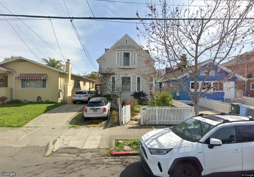
2915 Otis St Unit 2915 Berkeley, CA 94703
South Berkeley NeighborhoodEstimated Value: $879,000 - $1,447,000
3
Beds
3
Baths
1,677
Sq Ft
$665/Sq Ft
Est. Value
About This Home
This home is located at 2915 Otis St Unit 2915, Berkeley, CA 94703 and is currently estimated at $1,115,576, approximately $665 per square foot. 2915 Otis St Unit 2915 is a home located in Alameda County with nearby schools including Malcolm X Elementary School, Emerson Elementary School, and John Muir Elementary School.
Ownership History
Date
Name
Owned For
Owner Type
Purchase Details
Closed on
Dec 9, 2010
Sold by
Liebe Rosie
Bought by
Colley Paul and Kingsley Paula
Current Estimated Value
Home Financials for this Owner
Home Financials are based on the most recent Mortgage that was taken out on this home.
Original Mortgage
$410,000
Outstanding Balance
$270,741
Interest Rate
4.21%
Mortgage Type
New Conventional
Estimated Equity
$844,835
Purchase Details
Closed on
Jan 21, 2009
Sold by
Liebe Rosie
Bought by
The Rosie Liebe Living Trust
Purchase Details
Closed on
Apr 25, 2005
Sold by
Keen Andrew J and Thagard Elizabeth R
Bought by
Liebe Rosie
Home Financials for this Owner
Home Financials are based on the most recent Mortgage that was taken out on this home.
Original Mortgage
$470,000
Interest Rate
5.99%
Mortgage Type
Fannie Mae Freddie Mac
Create a Home Valuation Report for This Property
The Home Valuation Report is an in-depth analysis detailing your home's value as well as a comparison with similar homes in the area
Home Values in the Area
Average Home Value in this Area
Purchase History
| Date | Buyer | Sale Price | Title Company |
|---|---|---|---|
| Colley Paul | $579,000 | Chicago Title Company | |
| The Rosie Liebe Living Trust | -- | None Available | |
| Liebe Rosie | $600,000 | Placer Title Company |
Source: Public Records
Mortgage History
| Date | Status | Borrower | Loan Amount |
|---|---|---|---|
| Open | Colley Paul | $410,000 | |
| Previous Owner | Liebe Rosie | $470,000 | |
| Closed | Liebe Rosie | $50,000 |
Source: Public Records
Tax History
| Year | Tax Paid | Tax Assessment Tax Assessment Total Assessment is a certain percentage of the fair market value that is determined by local assessors to be the total taxable value of land and additions on the property. | Land | Improvement |
|---|---|---|---|---|
| 2025 | $11,100 | $734,756 | $222,527 | $519,229 |
| 2024 | $11,100 | $720,217 | $218,165 | $509,052 |
| 2023 | $10,870 | $712,962 | $213,888 | $499,074 |
| 2022 | $10,679 | $691,985 | $209,695 | $489,290 |
| 2021 | $10,706 | $678,280 | $205,584 | $479,696 |
| 2020 | $10,148 | $678,257 | $203,477 | $474,780 |
| 2019 | $9,766 | $664,963 | $199,489 | $465,474 |
| 2018 | $9,605 | $651,930 | $195,579 | $456,351 |
| 2017 | $9,269 | $639,151 | $191,745 | $447,406 |
| 2016 | $8,982 | $626,621 | $187,986 | $438,635 |
| 2015 | $8,863 | $617,213 | $185,164 | $432,049 |
| 2014 | $8,805 | $605,124 | $181,537 | $423,587 |
Source: Public Records
Map
Nearby Homes
- 2918 Newbury St
- 2057 Emerson St
- 2926 Ellis St
- 2110 Ashby Ave
- 3033 Ellis St Unit B
- 2123 Oregon St
- 2923 Wheeler St
- 2701 Grant St
- 1819 Carleton St
- 6555 Shattuck Ave
- 2829 California St
- 1901 Parker St Unit 3
- 1538 Ashby Ave
- 629 66th St
- 2243 Ashby Ave
- 1726 Parker St Unit 2
- 1726 Parker St Unit 1
- 2533 Grant St
- 3233 Ellis St
- 3114 California St
Your Personal Tour Guide
Ask me questions while you tour the home.