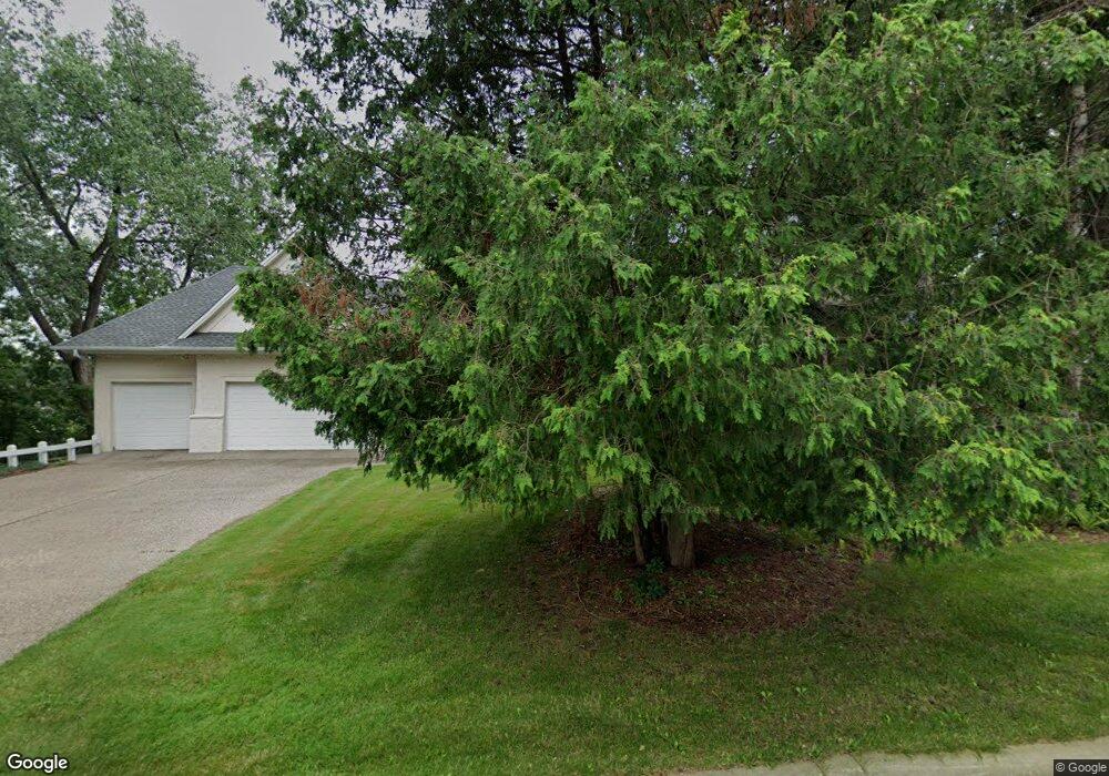
2916 W Owasso Blvd Saint Paul, MN 55113
Lake Owasso NeighborhoodEstimated Value: $1,188,884 - $1,315,000
4
Beds
3
Baths
5,028
Sq Ft
$247/Sq Ft
Est. Value
About This Home
This home is located at 2916 W Owasso Blvd, Saint Paul, MN 55113 and is currently estimated at $1,241,628, approximately $246 per square foot. 2916 W Owasso Blvd is a home located in Ramsey County with nearby schools including Emmet D. Williams Elementary School, Roseville Area Middle School, and Roseville Area Senior High School.
Ownership History
Date
Name
Owned For
Owner Type
Purchase Details
Closed on
Sep 27, 2022
Sold by
Overbye Virginia and Overbye John
Bought by
Shrestha Anubhav and Shrestha John Geraldine
Current Estimated Value
Home Financials for this Owner
Home Financials are based on the most recent Mortgage that was taken out on this home.
Original Mortgage
$920,000
Outstanding Balance
$879,976
Interest Rate
5.22%
Mortgage Type
New Conventional
Estimated Equity
$361,653
Purchase Details
Closed on
Jan 21, 1999
Sold by
Roger C Nelson Trust
Bought by
Overbye John D and Overbye Virginia
Purchase Details
Closed on
Nov 2, 1998
Sold by
Olsen Margie E
Bought by
Moy Larry A
Create a Home Valuation Report for This Property
The Home Valuation Report is an in-depth analysis detailing your home's value as well as a comparison with similar homes in the area
Home Values in the Area
Average Home Value in this Area
Purchase History
| Date | Buyer | Sale Price | Title Company |
|---|---|---|---|
| Shrestha Anubhav | $1,150,000 | -- | |
| Overbye John D | $218,662 | -- | |
| Moy Larry A | $116,500 | -- |
Source: Public Records
Mortgage History
| Date | Status | Borrower | Loan Amount |
|---|---|---|---|
| Open | Shrestha Anubhav | $920,000 |
Source: Public Records
Tax History Compared to Growth
Tax History
| Year | Tax Paid | Tax Assessment Tax Assessment Total Assessment is a certain percentage of the fair market value that is determined by local assessors to be the total taxable value of land and additions on the property. | Land | Improvement |
|---|---|---|---|---|
| 2025 | $17,312 | $1,159,100 | $222,000 | $937,100 |
| 2023 | $17,312 | $1,098,600 | $222,000 | $876,600 |
| 2022 | $17,822 | $1,076,600 | $222,000 | $854,600 |
| 2021 | $15,158 | $1,061,500 | $222,000 | $839,500 |
| 2020 | $15,852 | $965,700 | $166,500 | $799,200 |
| 2019 | $13,942 | $948,500 | $166,500 | $782,000 |
| 2018 | $14,772 | $825,600 | $166,500 | $659,100 |
| 2017 | $12,692 | $847,300 | $166,500 | $680,800 |
| 2016 | $12,700 | $0 | $0 | $0 |
| 2015 | $12,574 | $771,000 | $199,800 | $571,200 |
| 2014 | $14,084 | $0 | $0 | $0 |
Source: Public Records
Map
Nearby Homes
- 2870 Victoria St N
- 2860 Victoria St N
- Ashby Plan at Victoria Shores
- 932 Orchard Ln
- 956 Orchard Ln
- 3071 Avon St N
- 613 S Owasso Blvd W
- 771 Terrace Dr
- 955 Woodhill Dr
- 2816 Oxford St N
- 2748 Kent St
- 2690 Oxford St N Unit 209
- 2690 Oxford St N Unit 247
- 667 County Road C W
- 3163 Christopher Ln
- 2867 Lexington Place N
- 2700 Oxford St N Unit 101
- 2700 Oxford St N Unit 135
- 2670 Oxford St N Unit 246
- 2670 Oxford St N Unit 242
- 2904 W Owasso Blvd
- 2915 W Owasso Blvd
- 2900 W Owasso Blvd
- 2920 W Owasso Blvd
- 2909 W Owasso Blvd
- 2901 W Owasso Blvd
- 2896 W Owasso Blvd
- 2923 W Owasso Blvd
- 2897 W Owasso Blvd
- 2890 W Owasso Blvd
- 2924 W Owasso Blvd
- 2895 W Owasso Blvd
- 2931 W Owasso Blvd
- 822 Millwood Ave
- 824 Millwood Ave
- 2884 W Owasso Blvd
- 2887 W Owasso Blvd
- 834 Millwood Ave
- 2926 Victoria St N
- 820 Millwood Ave