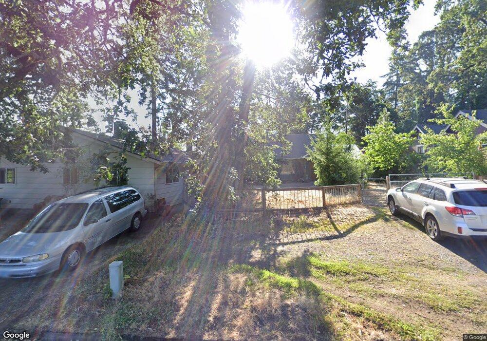
2917 Madison St Eugene, OR 97405
Crest Drive NeighborhoodEstimated Value: $364,000 - $423,000
2
Beds
2
Baths
1,037
Sq Ft
$371/Sq Ft
Est. Value
About This Home
This home is located at 2917 Madison St, Eugene, OR 97405 and is currently estimated at $384,210, approximately $370 per square foot. 2917 Madison St is a home located in Lane County with nearby schools including Adams Elementary School, Roosevelt Middle School, and South Eugene High School.
Ownership History
Date
Name
Owned For
Owner Type
Purchase Details
Closed on
Jun 1, 2011
Sold by
Gmac Mortgage Llc
Bought by
Bennett Thomas E
Current Estimated Value
Home Financials for this Owner
Home Financials are based on the most recent Mortgage that was taken out on this home.
Original Mortgage
$155,216
Interest Rate
4.5%
Mortgage Type
FHA
Purchase Details
Closed on
Mar 10, 2011
Sold by
Ennion Charles W
Bought by
Gmac Mortgage Llc
Purchase Details
Closed on
Nov 19, 2002
Sold by
Blum Leo and Blum Maria
Bought by
Ennion Charles W
Home Financials for this Owner
Home Financials are based on the most recent Mortgage that was taken out on this home.
Original Mortgage
$124,600
Interest Rate
5.89%
Create a Home Valuation Report for This Property
The Home Valuation Report is an in-depth analysis detailing your home's value as well as a comparison with similar homes in the area
Home Values in the Area
Average Home Value in this Area
Purchase History
| Date | Buyer | Sale Price | Title Company |
|---|---|---|---|
| Bennett Thomas E | $123,400 | Accommodation | |
| Gmac Mortgage Llc | $147,050 | Accommodation | |
| Ennion Charles W | $128,500 | Fidelity National Title Co |
Source: Public Records
Mortgage History
| Date | Status | Borrower | Loan Amount |
|---|---|---|---|
| Previous Owner | Bennett Thomas E | $155,216 | |
| Previous Owner | Ennion Charles W | $124,600 |
Source: Public Records
Tax History
| Year | Tax Paid | Tax Assessment Tax Assessment Total Assessment is a certain percentage of the fair market value that is determined by local assessors to be the total taxable value of land and additions on the property. | Land | Improvement |
|---|---|---|---|---|
| 2025 | $2,966 | $152,209 | -- | -- |
| 2024 | $2,929 | $147,776 | -- | -- |
| 2023 | $2,929 | $143,472 | $0 | $0 |
| 2022 | $2,744 | $139,294 | $0 | $0 |
| 2021 | $2,577 | $135,237 | $0 | $0 |
| 2020 | $2,586 | $131,299 | $0 | $0 |
| 2019 | $2,498 | $127,475 | $0 | $0 |
| 2018 | $2,351 | $120,158 | $0 | $0 |
| 2017 | $2,246 | $120,158 | $0 | $0 |
| 2016 | $2,190 | $116,658 | $0 | $0 |
| 2015 | $2,127 | $113,260 | $0 | $0 |
| 2014 | $2,084 | $109,961 | $0 | $0 |
Source: Public Records
Map
Nearby Homes
- 2925 Charnelton St
- 951 W 27th Ave
- 1 Storey Blvd
- 2 Storey Blvd
- 3160 Whitten Dr
- 0 Hidden Meadows
- 605 Fulvue Dr
- 2765 Almaden St
- 357 W 37th Ave
- 0 Monroe St Unit 343774498
- 275 W 37th Ave
- 2255 Polk St
- 3854 Monroe St
- 0 Mclean Blvd Unit 24671448
- 0 Mclean Blvd Unit 697374759
- 2096 Charnelton St
- 1778 Graham Dr
- 2031 Olive St
- 806 Sundance St
- 478 E 32nd Ave
- 690 Lorane Hwy
- 2919 Madison St
- 680 Lorane Hwy
- 2929 Madison St
- 2910 Jefferson St
- 2938 Jefferson St
- 2941 Madison St
- 665 W 29th Place
- 2946 Jefferson St
- 695 Lorane Hwy
- 645 Lorane Hwy
- 706 Lorane Hwy
- 669 Lorane Hwy
- 639 W 29th Place
- 2841 Madison St
- 701 Lorane Hwy
- 2948 Madison St
- 2850 Madison St
- 625 Lorane Hwy
Your Personal Tour Guide
Ask me questions while you tour the home.