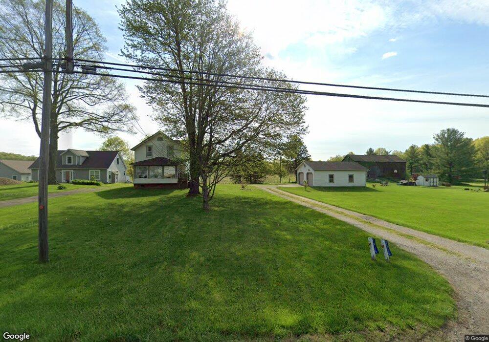
2926 State Route 44 Rootstown, OH 44272
Estimated Value: $226,407 - $316,000
5
Beds
2
Baths
1,545
Sq Ft
$176/Sq Ft
Est. Value
About This Home
This home is located at 2926 State Route 44, Rootstown, OH 44272 and is currently estimated at $272,352, approximately $176 per square foot. 2926 State Route 44 is a home located in Portage County with nearby schools including Rootstown Middle School - Schnee Building and Rootstown High School.
Ownership History
Date
Name
Owned For
Owner Type
Purchase Details
Closed on
Oct 11, 2002
Sold by
Veon Neal T and Spreistersbach Olympia A
Bought by
Veon Neal and Veon Olympia
Current Estimated Value
Home Financials for this Owner
Home Financials are based on the most recent Mortgage that was taken out on this home.
Original Mortgage
$148,000
Outstanding Balance
$59,672
Interest Rate
6.29%
Estimated Equity
$212,680
Purchase Details
Closed on
Dec 18, 1997
Sold by
Bailey Evelyn J
Bought by
Veon Neal T and Spriestersbach Olympia A
Home Financials for this Owner
Home Financials are based on the most recent Mortgage that was taken out on this home.
Original Mortgage
$104,500
Interest Rate
7.36%
Mortgage Type
New Conventional
Create a Home Valuation Report for This Property
The Home Valuation Report is an in-depth analysis detailing your home's value as well as a comparison with similar homes in the area
Purchase History
| Date | Buyer | Sale Price | Title Company |
|---|---|---|---|
| Veon Neal | -- | First Class Title Agency Inc | |
| Veon Neal T | $110,000 | -- |
Source: Public Records
Mortgage History
| Date | Status | Borrower | Loan Amount |
|---|---|---|---|
| Open | Veon Neal | $148,000 | |
| Closed | Veon Neal T | $104,500 |
Source: Public Records
Tax History
| Year | Tax Paid | Tax Assessment Tax Assessment Total Assessment is a certain percentage of the fair market value that is determined by local assessors to be the total taxable value of land and additions on the property. | Land | Improvement |
|---|---|---|---|---|
| 2025 | $2,796 | $66,820 | $9,450 | $57,370 |
| 2024 | $2,687 | $66,820 | $9,450 | $57,370 |
| 2023 | $2,432 | $54,010 | $8,300 | $45,710 |
| 2022 | $2,404 | $54,010 | $8,300 | $45,710 |
| 2021 | $2,404 | $54,010 | $8,300 | $45,710 |
| 2020 | $2,157 | $46,660 | $7,910 | $38,750 |
| 2019 | $2,164 | $46,660 | $7,910 | $38,750 |
| 2018 | $1,826 | $37,280 | $8,440 | $28,840 |
| 2017 | $1,826 | $37,280 | $8,440 | $28,840 |
| 2016 | $1,792 | $37,280 | $8,440 | $28,840 |
| 2015 | $1,813 | $37,280 | $8,440 | $28,840 |
| 2014 | $1,846 | $37,280 | $8,440 | $28,840 |
| 2013 | $1,834 | $37,280 | $8,440 | $28,840 |
Source: Public Records
Map
Nearby Homes
- 3021 Hartville Rd
- 3637 Old Forge Rd
- 3701 State Route 44
- 3689 Cherry Hill
- 4958 Bassett Rd
- 3583 Randolph Rd
- 3080 Saxe Rd
- 4079 Siefer Dr
- 4324 Abbey Ln
- 3981 March Creek Ln Unit 37
- 0 Waterloo Rd
- 1583 Ohio 44
- 4200 Hattrick Rd
- V/L 2 Lynn Rd
- V/L Lynn Rd
- 4415 Farmette Dr
- 4556 Rootstown Rd
- sub lot Lane Ave
- 1026 Hartville Rd N
- 4087 Industry
- 2892 State Route 44
- 2905 State Route 44
- 2949 State Route 44
- 2958 State Route 44
- 2888 State Route 44
- 2921 State Route 44
- 2933 State Route 44
- 2887 State Route 44
- 2872 State Route 44
- 2845 State Route 44
- 2840 State Route 44
- 2963 State Route 44
- 2979 State Route 44
- 4205 Wilkes Rd
- 2824 State Route 44
- 4193 Wilkes Rd
- 2800 State Route 44
- 2791 State Route 44
- 3009 State Route 44
- 3055 State Route 44
Your Personal Tour Guide
Ask me questions while you tour the home.