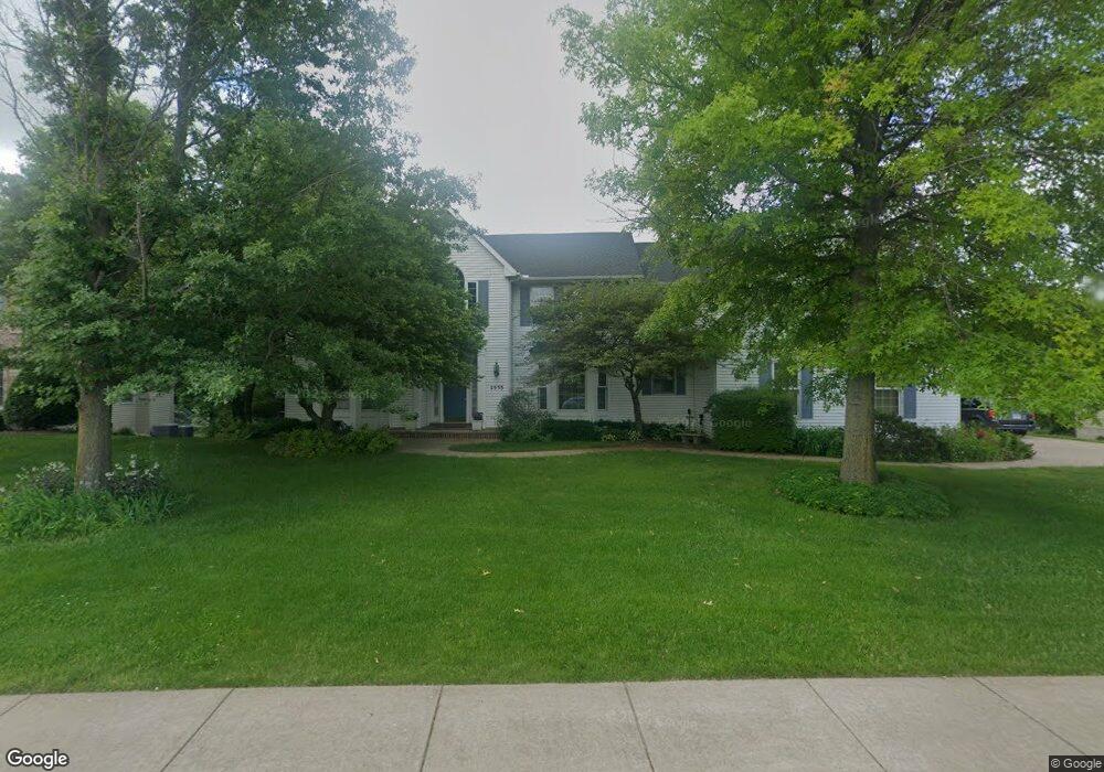
2933 E 44th Ct Davenport, IA 52807
North Side NeighborhoodEstimated Value: $575,084 - $666,000
5
Beds
6
Baths
5,322
Sq Ft
$116/Sq Ft
Est. Value
About This Home
This home is located at 2933 E 44th Ct, Davenport, IA 52807 and is currently estimated at $615,521, approximately $115 per square foot. 2933 E 44th Ct is a home located in Scott County with nearby schools including Eisenhower Elementary School, Sudlow Intermediate School, and Central High School.
Ownership History
Date
Name
Owned For
Owner Type
Purchase Details
Closed on
Feb 18, 2022
Sold by
Louis Robert J and Louis Diane L
Bought by
Lavery Michael S and Lavery Amy B
Current Estimated Value
Home Financials for this Owner
Home Financials are based on the most recent Mortgage that was taken out on this home.
Original Mortgage
$388,000
Outstanding Balance
$360,069
Interest Rate
3.5%
Mortgage Type
New Conventional
Estimated Equity
$255,452
Create a Home Valuation Report for This Property
The Home Valuation Report is an in-depth analysis detailing your home's value as well as a comparison with similar homes in the area
Home Values in the Area
Average Home Value in this Area
Purchase History
| Date | Buyer | Sale Price | Title Company |
|---|---|---|---|
| Lavery Michael S | $485,000 | Brooks Law Firm Pc |
Source: Public Records
Mortgage History
| Date | Status | Borrower | Loan Amount |
|---|---|---|---|
| Open | Lavery Michael S | $388,000 |
Source: Public Records
Tax History Compared to Growth
Tax History
| Year | Tax Paid | Tax Assessment Tax Assessment Total Assessment is a certain percentage of the fair market value that is determined by local assessors to be the total taxable value of land and additions on the property. | Land | Improvement |
|---|---|---|---|---|
| 2024 | $8,656 | $506,730 | $73,880 | $432,850 |
| 2023 | $9,448 | $506,730 | $73,880 | $432,850 |
| 2022 | $9,114 | $451,240 | $66,840 | $384,400 |
| 2021 | $9,114 | $424,690 | $66,840 | $357,850 |
| 2020 | $9,036 | $403,640 | $66,840 | $336,800 |
| 2019 | $9,338 | $424,690 | $66,840 | $357,850 |
| 2018 | $9,136 | $424,690 | $66,840 | $357,850 |
| 2017 | $8,984 | $424,690 | $66,840 | $357,850 |
| 2016 | $8,650 | $403,640 | $0 | $0 |
| 2015 | $8,650 | $391,200 | $0 | $0 |
| 2014 | $8,494 | $391,200 | $0 | $0 |
| 2013 | $8,344 | $0 | $0 | $0 |
| 2012 | -- | $385,740 | $60,790 | $324,950 |
Source: Public Records
Map
Nearby Homes
- 2919 E 44th Ct
- 2916 E 45th Ct
- 3801 Fernwood Ct
- 6466 Fairhaven Ct
- 4919 Lorton Ave
- 4230 Jersey Ridge Rd
- 4554 Bunker Hill Dr
- 2501 E 34th Street Ct
- 2514 E 51st St Unit A
- 4210 Squire Dr
- 2105 E 46th St
- 2403 E 51st St Unit 102E
- 2422 E 51st St Unit E
- 1455 Prairie Vista Dr
- 1272 Golden Valley Dr
- 4275 Amesbury Dr
- 2846 Magnolia Dr
- 3604 Welshire Dr
- 2586 E George Washington Blvd
- 1337 Golden Valley Dr