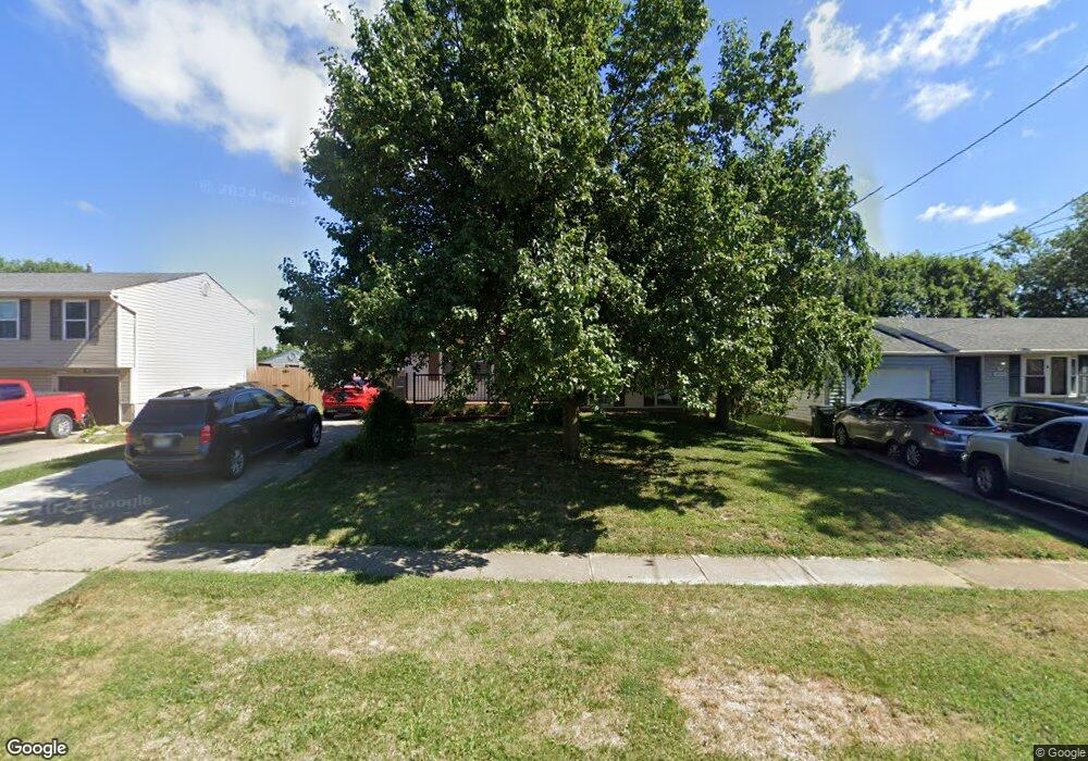
2934 Stout Rd Cincinnati, OH 45251
Northgate NeighborhoodEstimated Value: $184,067 - $223,000
3
Beds
2
Baths
1,368
Sq Ft
$152/Sq Ft
Est. Value
About This Home
This home is located at 2934 Stout Rd, Cincinnati, OH 45251 and is currently estimated at $207,267, approximately $151 per square foot. 2934 Stout Rd is a home located in Hamilton County with nearby schools including Taylor Elementary School, Pleasant Run Elementary School, and Pleasant Run Middle School.
Ownership History
Date
Name
Owned For
Owner Type
Purchase Details
Closed on
Jun 28, 2004
Sold by
Craft Joe M and Craft Linda L
Bought by
Miller Antonio F
Current Estimated Value
Purchase Details
Closed on
Aug 5, 2002
Sold by
Lee Huddleston Linda and Lee Linda L
Bought by
Craft Joe M and Craft Linda L
Home Financials for this Owner
Home Financials are based on the most recent Mortgage that was taken out on this home.
Original Mortgage
$75,000
Interest Rate
6.64%
Create a Home Valuation Report for This Property
The Home Valuation Report is an in-depth analysis detailing your home's value as well as a comparison with similar homes in the area
Home Values in the Area
Average Home Value in this Area
Purchase History
| Date | Buyer | Sale Price | Title Company |
|---|---|---|---|
| Miller Antonio F | $112,000 | -- | |
| Craft Joe M | -- | Pure Title Agency Ltd |
Source: Public Records
Mortgage History
| Date | Status | Borrower | Loan Amount |
|---|---|---|---|
| Previous Owner | Craft Joe M | $75,000 |
Source: Public Records
Tax History
| Year | Tax Paid | Tax Assessment Tax Assessment Total Assessment is a certain percentage of the fair market value that is determined by local assessors to be the total taxable value of land and additions on the property. | Land | Improvement |
|---|---|---|---|---|
| 2025 | $1,316 | $43,026 | $8,505 | $34,521 |
| 2023 | $1,328 | $43,026 | $8,505 | $34,521 |
| 2022 | $737 | $28,666 | $7,501 | $21,165 |
| 2021 | $1,881 | $28,666 | $7,501 | $21,165 |
| 2020 | $1,901 | $28,666 | $7,501 | $21,165 |
| 2019 | $1,644 | $23,118 | $6,048 | $17,070 |
| 2018 | $1,476 | $23,118 | $6,048 | $17,070 |
| 2017 | $1,399 | $23,118 | $6,048 | $17,070 |
| 2016 | $1,408 | $22,978 | $6,104 | $16,874 |
| 2015 | $1,422 | $22,978 | $6,104 | $16,874 |
| 2014 | $1,424 | $22,978 | $6,104 | $16,874 |
| 2013 | $1,427 | $24,189 | $6,426 | $17,763 |
Source: Public Records
Map
Nearby Homes
- 2936 Butterwick Dr
- 2845 Wilson Ave
- 10945 Penarth Dr
- 10918 Newmarket Dr
- 2659 Roosevelt Ave
- 2776 Klondike Ct
- 2540 Wilson Ave
- 2508 Wilson Ave
- 2342 Washington Ave
- 10474 Gloria Ave
- 10372 Pippin Ln
- 10366 Pippin Ln
- 2192 Pinney Ln
- 2617 Chesterhill Dr
- 2585 Fulbourne Dr
- 10311 September Dr
- 10336 Mae Ct
- 10332 Mae Ct
- 10328 Mae Ct
- 10877 Birchridge Dr
- 2924 Stout Rd
- 2942 Stout Rd
- 10812 Penarth Dr
- 2916 Stout Rd
- 10820 Penarth Dr
- 2931 Butterwick Dr
- 2919 Butterwick Dr
- 2906 Stout Rd
- 2951 Stout Rd
- 2945 Stout Rd
- 2909 Butterwick Dr
- 10828 Penarth Dr
- 2960 Stout Rd
- 2898 Stout Rd
- 2955 Stout Rd
- 2899 Butterwick Dr
- 2959 Butterwick Dr
- 2959 Stout Rd
- 2888 Stout Rd
- 2978 Stout Rd
Your Personal Tour Guide
Ask me questions while you tour the home.