2949 State Route 44 Rootstown, OH 44272
Estimated Value: $317,000 - $370,000
4
Beds
3
Baths
2,020
Sq Ft
$168/Sq Ft
Est. Value
About This Home
This home is located at 2949 State Route 44, Rootstown, OH 44272 and is currently estimated at $339,440, approximately $168 per square foot. 2949 State Route 44 is a home located in Portage County with nearby schools including Rootstown Middle School - Schnee Building and Rootstown High School.
Ownership History
Date
Name
Owned For
Owner Type
Purchase Details
Closed on
Mar 21, 2022
Sold by
Menendez Richard L and Menendez Dian L
Bought by
Menendez Dian L
Current Estimated Value
Home Financials for this Owner
Home Financials are based on the most recent Mortgage that was taken out on this home.
Original Mortgage
$125,000
Outstanding Balance
$116,083
Interest Rate
4.16%
Mortgage Type
Balloon
Estimated Equity
$223,357
Purchase Details
Closed on
Mar 22, 1999
Sold by
Bonnell Robert J and Bonnell Winifred W
Bought by
Menendez Richard and Menendez Dian L
Home Financials for this Owner
Home Financials are based on the most recent Mortgage that was taken out on this home.
Original Mortgage
$130,400
Interest Rate
6.8%
Purchase Details
Closed on
Jul 1, 1988
Bought by
Bonnell Robert J
Create a Home Valuation Report for This Property
The Home Valuation Report is an in-depth analysis detailing your home's value as well as a comparison with similar homes in the area
Purchase History
| Date | Buyer | Sale Price | Title Company |
|---|---|---|---|
| Menendez Dian L | $125 | Windon Jeffrey D | |
| Menendez Richard | $163,000 | -- | |
| Bonnell Robert J | $113,500 | -- |
Source: Public Records
Mortgage History
| Date | Status | Borrower | Loan Amount |
|---|---|---|---|
| Open | Menendez Dian L | $125,000 | |
| Previous Owner | Menendez Richard | $130,400 |
Source: Public Records
Tax History
| Year | Tax Paid | Tax Assessment Tax Assessment Total Assessment is a certain percentage of the fair market value that is determined by local assessors to be the total taxable value of land and additions on the property. | Land | Improvement |
|---|---|---|---|---|
| 2025 | $4,037 | $97,370 | $22,260 | $75,110 |
| 2024 | $3,880 | $97,370 | $22,260 | $75,110 |
| 2023 | $3,196 | $71,480 | $19,640 | $51,840 |
| 2022 | $3,166 | $71,480 | $19,640 | $51,840 |
| 2021 | $3,173 | $71,480 | $19,640 | $51,840 |
| 2020 | $2,886 | $62,620 | $18,690 | $43,930 |
| 2019 | $2,895 | $62,620 | $18,690 | $43,930 |
| 2018 | $2,884 | $56,110 | $19,880 | $36,230 |
| 2017 | $2,729 | $56,110 | $19,880 | $36,230 |
| 2016 | $2,696 | $56,110 | $19,880 | $36,230 |
| 2015 | $2,726 | $56,110 | $19,880 | $36,230 |
| 2014 | $2,777 | $56,110 | $19,880 | $36,230 |
| 2013 | $2,758 | $56,110 | $19,880 | $36,230 |
Source: Public Records
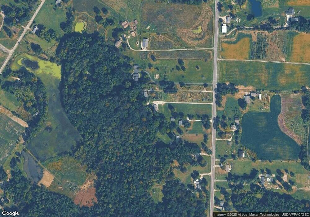
Map
Nearby Homes
- 3021 Hartville Rd
- 3637 Old Forge Rd
- 3701 State Route 44
- 3689 Cherry Hill
- 4958 Bassett Rd
- 3583 Randolph Rd
- 3080 Saxe Rd
- 4079 Siefer Dr
- 3981 March Creek Ln Unit 37
- 4324 Abbey Ln
- 0 Waterloo Rd
- 1583 Ohio 44
- 4200 Hattrick Rd
- V/L 2 Lynn Rd
- V/L Lynn Rd
- 4415 Farmette Dr
- 4556 Rootstown Rd
- sub lot Lane Ave
- 4184 Hunters Ridge Dr
- 4087 Industry
- 2933 State Route 44
- 2958 State Route 44
- 2926 State Route 44
- 2921 State Route 44
- 2905 State Route 44
- 2892 State Route 44
- 2963 State Route 44
- 2979 State Route 44
- 2887 State Route 44
- 2888 State Route 44
- 2872 State Route 44
- 3009 State Route 44
- 3055 State Route 44
- 3055 Ohio 44
- 3071 State Route 44
- 2845 State Route 44
- 3085 State Route 44
- 2840 State Route 44
- 3139 Ohio 44
- 3139 and 3141 State Route 44
Your Personal Tour Guide
Ask me questions while you tour the home.