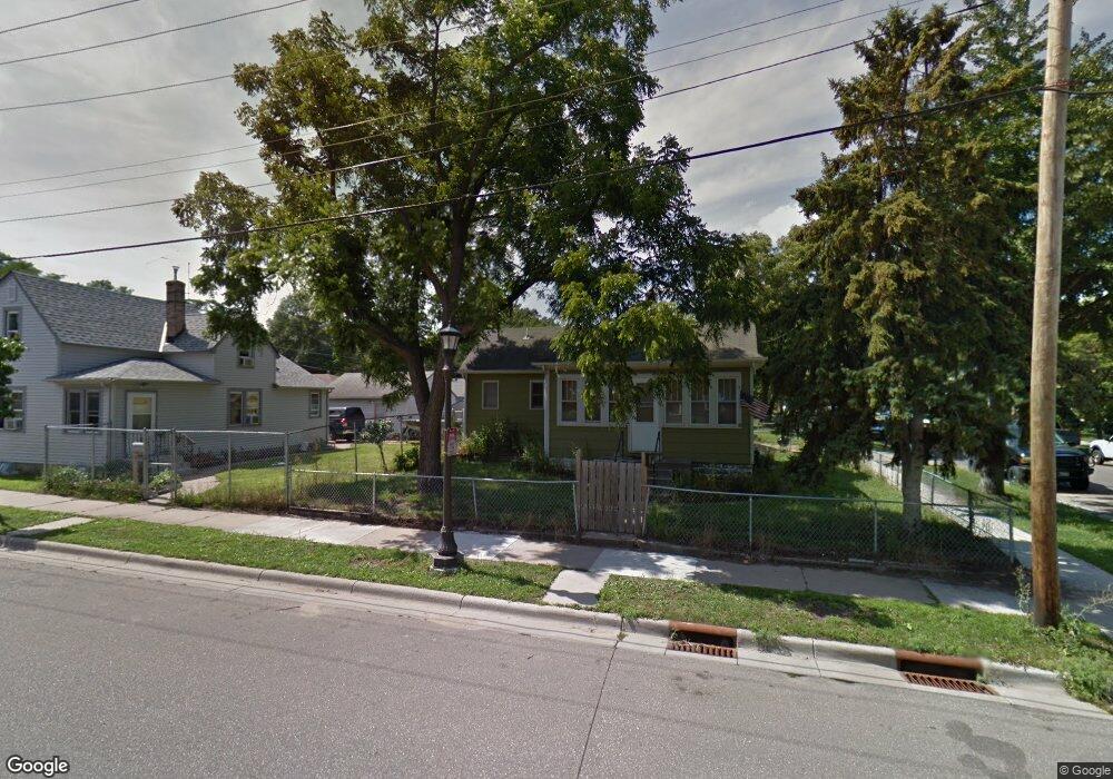
295 Earl St Saint Paul, MN 55106
Dayton's Bluff NeighborhoodEstimated Value: $161,000 - $188,000
1
Bed
1
Bath
676
Sq Ft
$261/Sq Ft
Est. Value
About This Home
This home is located at 295 Earl St, Saint Paul, MN 55106 and is currently estimated at $176,323, approximately $260 per square foot. 295 Earl St is a home located in Ramsey County with nearby schools including Dayton's Bluff Achievement Plus Elementary School, Battle Creek Middle School, and Harding Senior High School.
Ownership History
Date
Name
Owned For
Owner Type
Purchase Details
Closed on
Oct 13, 2018
Sold by
Geschke James C and Geschke Cloe M
Bought by
Geschke Daniel R
Current Estimated Value
Home Financials for this Owner
Home Financials are based on the most recent Mortgage that was taken out on this home.
Original Mortgage
$10,000
Interest Rate
4.9%
Mortgage Type
Commercial
Purchase Details
Closed on
Dec 22, 2008
Sold by
Federal National Mortgage Association
Bought by
Geschke Jim
Purchase Details
Closed on
Oct 25, 2002
Sold by
Bergman Florence M and Bergman John A
Bought by
Vang Yue Pheng
Create a Home Valuation Report for This Property
The Home Valuation Report is an in-depth analysis detailing your home's value as well as a comparison with similar homes in the area
Home Values in the Area
Average Home Value in this Area
Purchase History
| Date | Buyer | Sale Price | Title Company |
|---|---|---|---|
| Geschke Daniel R | -- | None Available | |
| Geschke Jim | $21,000 | -- | |
| Vang Yue Pheng | $86,500 | -- |
Source: Public Records
Mortgage History
| Date | Status | Borrower | Loan Amount |
|---|---|---|---|
| Previous Owner | Geschke Daniel R | $10,000 |
Source: Public Records
Tax History
| Year | Tax Paid | Tax Assessment Tax Assessment Total Assessment is a certain percentage of the fair market value that is determined by local assessors to be the total taxable value of land and additions on the property. | Land | Improvement |
|---|---|---|---|---|
| 2025 | $2,922 | $162,400 | $21,700 | $140,700 |
| 2023 | $2,922 | $152,800 | $13,900 | $138,900 |
| 2022 | $2,458 | $162,200 | $13,900 | $148,300 |
| 2021 | $2,444 | $114,600 | $13,900 | $100,700 |
| 2020 | $2,252 | $114,700 | $13,900 | $100,800 |
| 2019 | $1,596 | $111,100 | $13,900 | $97,200 |
| 2018 | $1,380 | $89,600 | $13,900 | $75,700 |
| 2017 | $1,928 | $60,300 | $13,900 | $46,400 |
| 2016 | $1,516 | $0 | $0 | $0 |
| 2015 | $1,516 | $59,600 | $12,200 | $47,400 |
| 2014 | $1,776 | $0 | $0 | $0 |
Source: Public Records
Map
Nearby Homes
- 295 295 Earl-Street-
- 291 Earl St
- 291 291 Earl St
- 1048 Mclean Ave
- 1044 Mclean Ave
- 1062 Mclean Ave
- 1051 1051 McLean-avenue-
- 1042 Mclean Ave
- 1051 Suburban Ave
- 1055 Mclean Ave
- 1047 Mclean Ave
- 1047 1047 McLean-avenue-
- 1064 Mclean Ave
- 304 Earl St
- 1045 Suburban Ave
- 1043 Mclean Ave
- 1038 Mclean Ave
- 290 Earl St
- 1039 Mclean Ave
- 1065 1065 McLean-avenue-