2959 Eden Rd Leslie, MI 49251
Estimated Value: $254,000 - $365,000
3
Beds
3
Baths
1,664
Sq Ft
$182/Sq Ft
Est. Value
About This Home
This home is located at 2959 Eden Rd, Leslie, MI 49251 and is currently estimated at $302,658, approximately $181 per square foot. 2959 Eden Rd is a home located in Ingham County with nearby schools including Woodworth Elementary School, Leslie Middle School, and Leslie High School.
Ownership History
Date
Name
Owned For
Owner Type
Purchase Details
Closed on
Jun 26, 1998
Bought by
Stockmeyer James and Stockmeyer Shari L
Current Estimated Value
Purchase Details
Closed on
May 22, 1998
Sold by
Launstein Larry R and Launstein Sandra M
Bought by
Brookside Council Span, Inc.
Create a Home Valuation Report for This Property
The Home Valuation Report is an in-depth analysis detailing your home's value as well as a comparison with similar homes in the area
Home Values in the Area
Average Home Value in this Area
Purchase History
| Date | Buyer | Sale Price | Title Company |
|---|---|---|---|
| Stockmeyer James | $20,000 | -- | |
| Brookside Council Span, Inc. | $19,000 | -- |
Source: Public Records
Tax History
| Year | Tax Paid | Tax Assessment Tax Assessment Total Assessment is a certain percentage of the fair market value that is determined by local assessors to be the total taxable value of land and additions on the property. | Land | Improvement |
|---|---|---|---|---|
| 2025 | $3,696 | $140,729 | $11,000 | $129,729 |
| 2024 | $3,432 | $136,968 | $15,541 | $121,427 |
| 2023 | $3,432 | $126,359 | $16,169 | $110,190 |
| 2022 | $3,264 | $111,685 | $0 | $0 |
| 2021 | $3,207 | $102,762 | $13,500 | $89,262 |
| 2020 | $3,153 | $97,189 | $13,500 | $83,689 |
| 2019 | $1,038 | $90,346 | $13,500 | $76,846 |
| 2018 | $2,980 | $86,150 | $13,500 | $72,650 |
| 2017 | $2,587 | $86,150 | $13,500 | $72,650 |
| 2016 | -- | $83,950 | $12,500 | $71,450 |
| 2015 | -- | $82,900 | $21,950 | $60,950 |
| 2014 | -- | $76,800 | $21,950 | $54,850 |
Source: Public Records
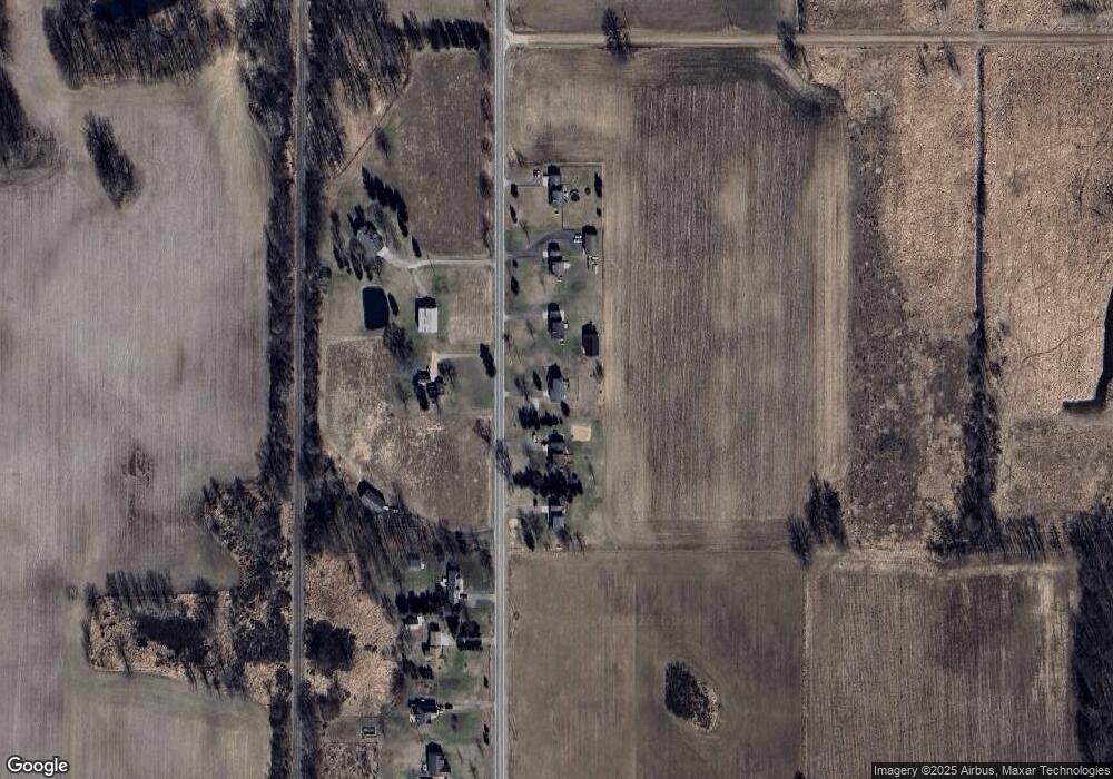
Map
Nearby Homes
- 0 Covert Rd
- 2968 Tuttle Rd
- 2751 Hawley Rd
- 1140 Covert Rd
- 1977 Ives Rd
- 2621 Rolfe Rd
- 0 Hull Rd
- 3940 Tuttle Rd
- 505 Kirby St
- 720 E Race Rd
- 110 N Main St
- 207 W Bellevue St
- 714 Mill St Unit 54
- 714 Mill St Unit 70
- 714 Mill St Unit 14
- 714 Mill St Unit 75
- 714 Mill St Unit 18
- 714 Mill St Unit 30
- 714 Mill St Unit 27
- 714 Mill St Unit 71
Your Personal Tour Guide
Ask me questions while you tour the home.