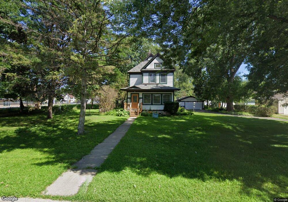
296 Aldine St Saint Paul, MN 55104
Union Park NeighborhoodEstimated Value: $356,000 - $409,182
4
Beds
2
Baths
1,580
Sq Ft
$243/Sq Ft
Est. Value
About This Home
This home is located at 296 Aldine St, Saint Paul, MN 55104 and is currently estimated at $383,546, approximately $242 per square foot. 296 Aldine St is a home located in Ramsey County with nearby schools including Groveland Park Elementary School, Hidden River Middle School, and Central Senior High School.
Ownership History
Date
Name
Owned For
Owner Type
Purchase Details
Closed on
Dec 9, 2011
Sold by
Brabeck Dolores R
Bought by
Brabeck Donald James
Current Estimated Value
Purchase Details
Closed on
Jan 9, 1998
Sold by
Brabeck Dolores R
Bought by
Brabeck Donald James
Create a Home Valuation Report for This Property
The Home Valuation Report is an in-depth analysis detailing your home's value as well as a comparison with similar homes in the area
Home Values in the Area
Average Home Value in this Area
Purchase History
| Date | Buyer | Sale Price | Title Company |
|---|---|---|---|
| Brabeck Donald James | $80,000 | -- | |
| Brabeck Donald J | $80,000 | -- | |
| Brabeck Donald James | $80,000 | -- |
Source: Public Records
Mortgage History
| Date | Status | Borrower | Loan Amount |
|---|---|---|---|
| Closed | Brabeck Donald James | -- |
Source: Public Records
Tax History Compared to Growth
Tax History
| Year | Tax Paid | Tax Assessment Tax Assessment Total Assessment is a certain percentage of the fair market value that is determined by local assessors to be the total taxable value of land and additions on the property. | Land | Improvement |
|---|---|---|---|---|
| 2025 | $5,014 | $382,500 | $136,000 | $246,500 |
| 2023 | $5,014 | $321,900 | $136,000 | $185,900 |
| 2022 | $4,296 | $282,600 | $102,000 | $180,600 |
| 2021 | $3,750 | $274,400 | $102,000 | $172,400 |
| 2020 | $3,854 | $250,900 | $102,000 | $148,900 |
| 2019 | $3,822 | $241,100 | $102,000 | $139,100 |
| 2018 | $3,556 | $236,500 | $102,000 | $134,500 |
| 2017 | $3,446 | $228,000 | $102,000 | $126,000 |
| 2016 | $3,554 | $0 | $0 | $0 |
| 2015 | $3,364 | $228,000 | $102,000 | $126,000 |
| 2014 | $3,048 | $0 | $0 | $0 |
Source: Public Records
Map
Nearby Homes
- 1671 Marshall Ave
- 266 Fry St
- 1665 Dayton Ave
- 1611 Carroll Ave
- 1606 Concordia Ave
- 1787 Carroll Ave
- 382 Fry St
- 389 Roy St N
- 1798 Marshall Ave
- 423 Fry St
- 406 Beacon Ave
- 429 Fry St
- 442 Pierce St N
- 1836 Marshall Ave
- 389 Fairview Ave N
- 1821 Selby Ave
- 1738 University Ave W
- 184 Saratoga St N
- 1670 Ashland Ave
- 1665 Sherburne Ave
- 1677 Iglehart Ave
- 1689 Iglehart Ave
- 1673 Iglehart Ave
- 1699 Iglehart Ave
- 1661 Iglehart Ave
- 1651 Iglehart Ave
- 1678 Iglehart Ave
- 1686 Iglehart Ave
- 1666 Iglehart Ave
- 1696 Iglehart Ave
- 1663 Carroll Ave
- 1660 Iglehart Ave
- 1700 Iglehart Ave
- 1650 Iglehart Ave
- 1704 Iglehart Ave
- 1661 Carroll Ave
- 314 Pierce St N
- 1712 Iglehart Ave
- 1646 Iglehart Ave
- 322 Pierce St N