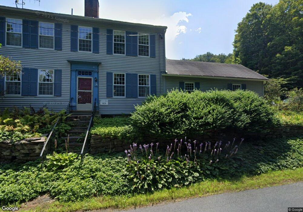
296 Falls Rd Sunderland, MA 01375
Estimated Value: $385,000 - $451,000
3
Beds
2
Baths
1,536
Sq Ft
$269/Sq Ft
Est. Value
About This Home
This home is located at 296 Falls Rd, Sunderland, MA 01375 and is currently estimated at $413,226, approximately $269 per square foot. 296 Falls Rd is a home located in Franklin County with nearby schools including Sunderland Elementary School and Frontier Regional School.
Ownership History
Date
Name
Owned For
Owner Type
Purchase Details
Closed on
Aug 21, 2009
Sold by
Bennett Bruce A and Bennett Barbara Ann
Bought by
Grecsek Christine E and Powsner Gary
Current Estimated Value
Home Financials for this Owner
Home Financials are based on the most recent Mortgage that was taken out on this home.
Original Mortgage
$207,000
Interest Rate
5.19%
Mortgage Type
Purchase Money Mortgage
Purchase Details
Closed on
Aug 14, 2003
Sold by
Bennett F Doris and Bennett Frances D
Bought by
Gray Barbara and Bennett Bruce
Create a Home Valuation Report for This Property
The Home Valuation Report is an in-depth analysis detailing your home's value as well as a comparison with similar homes in the area
Home Values in the Area
Average Home Value in this Area
Purchase History
| Date | Buyer | Sale Price | Title Company |
|---|---|---|---|
| Grecsek Christine E | $230,000 | -- | |
| Gray Barbara | -- | -- |
Source: Public Records
Mortgage History
| Date | Status | Borrower | Loan Amount |
|---|---|---|---|
| Open | Gray Barbara | $199,000 | |
| Closed | Grecsek Christine E | $207,000 |
Source: Public Records
Tax History Compared to Growth
Tax History
| Year | Tax Paid | Tax Assessment Tax Assessment Total Assessment is a certain percentage of the fair market value that is determined by local assessors to be the total taxable value of land and additions on the property. | Land | Improvement |
|---|---|---|---|---|
| 2025 | $40 | $304,500 | $112,100 | $192,400 |
| 2024 | $4,001 | $304,500 | $112,100 | $192,400 |
| 2023 | $3,649 | $285,100 | $102,500 | $182,600 |
| 2022 | $3,650 | $248,300 | $88,100 | $160,200 |
| 2021 | $3,419 | $220,700 | $80,700 | $140,000 |
| 2020 | $3,403 | $220,400 | $80,700 | $139,700 |
| 2019 | $3,287 | $214,400 | $78,500 | $135,900 |
| 2018 | $3,087 | $205,800 | $73,700 | $132,100 |
| 2017 | $2,974 | $207,400 | $75,300 | $132,100 |
| 2016 | $3,277 | $223,500 | $73,700 | $149,800 |
| 2015 | $3,180 | $222,200 | $73,700 | $148,500 |
| 2014 | $3,106 | $222,200 | $73,700 | $148,500 |
Source: Public Records
Map
Nearby Homes
- 134 Montague Rd
- 0 Pocumtuck Dr Unit 73379330
- 2 Gunn Rd
- 2 Gunn Rd
- 7 Stage Rd
- 495 Federal St Unit B
- 35 A N Leverett Rd
- 39 N Leverett Rd
- 238 N Main St
- 132 Meadow Rd
- 64 Main St
- 13 Capt Lathrop Dr
- 208 Greenfield Rd
- 345 Greenfield Rd
- 40 Eastern Ave
- 33 Eastern Ave
- 15 Crestview Dr
- Lot C Mountain Rd
- Lot A Mountain Rd
- Lot B Mountain Rd
- 300 Falls Rd
- 299 Falls Rd
- 306 Falls Rd
- 312 Falls Rd
- 324 Falls Rd
- 50 Whitmore Ferry Rd
- 336 Falls Rd
- Lot A Meadow Rd
- 49 Whitmore Ferry Rd
- 49 Whitmore Ferry Rd
- 43 Whitmore Ferry Rd
- 209 Old Sunderland Rd
- 209 Old Sunderland Rd
- 26 Whitmore Ferry Rd
- Lot 4 Whitmore Ferry Rd
- Lot A Falls Rd
- 201 Old Sunderland Rd
- 295 River Rd
- 199 Old Sunderland Rd
- 276 River Rd