Estimated Value: $1,918,000 - $3,799,000
4
Beds
5
Baths
4,476
Sq Ft
$570/Sq Ft
Est. Value
About This Home
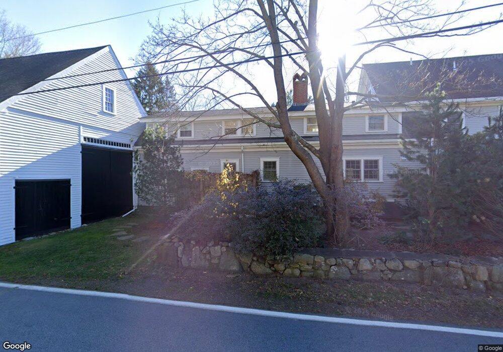
This home is located at 296 Harbor Rd, Rye, NH 03870 and is currently estimated at $2,550,729, approximately $569 per square foot. 296 Harbor Rd is a home located in Rockingham County with nearby schools including Rye Elementary School, Rye Junior High School, and Rye Country Day School.
Ownership History
Date
Name
Owned For
Owner Type
Purchase Details
Closed on
Jul 9, 2009
Sold by
Borgia John D and Borgia Karen A
Bought by
Lisa Decossy Sherman R
Current Estimated Value
Home Financials for this Owner
Home Financials are based on the most recent Mortgage that was taken out on this home.
Original Mortgage
$900,000
Outstanding Balance
$594,538
Interest Rate
5.47%
Mortgage Type
Unknown
Estimated Equity
$1,956,191
Create a Home Valuation Report for This Property
The Home Valuation Report is an in-depth analysis detailing your home's value as well as a comparison with similar homes in the area
Home Values in the Area
Average Home Value in this Area
Purchase History
| Date | Buyer | Sale Price | Title Company |
|---|---|---|---|
| Lisa Decossy Sherman R | $850,000 | -- |
Source: Public Records
Mortgage History
| Date | Status | Borrower | Loan Amount |
|---|---|---|---|
| Open | Lisa Decossy Sherman R | $900,000 |
Source: Public Records
Tax History
| Year | Tax Paid | Tax Assessment Tax Assessment Total Assessment is a certain percentage of the fair market value that is determined by local assessors to be the total taxable value of land and additions on the property. | Land | Improvement |
|---|---|---|---|---|
| 2024 | $11,836 | $1,366,700 | $665,700 | $701,000 |
| 2023 | $10,975 | $1,366,700 | $665,700 | $701,000 |
| 2022 | $9,540 | $1,366,700 | $665,700 | $701,000 |
| 2021 | $11,182 | $1,094,100 | $455,300 | $638,800 |
| 2020 | $11,578 | $1,094,100 | $455,300 | $638,800 |
| 2019 | $0 | $877,200 | $455,300 | $421,900 |
| 2018 | $9,941 | $877,200 | $455,300 | $421,900 |
| 2017 | $0 | $876,800 | $455,300 | $421,500 |
| 2016 | $7,499 | $702,200 | $272,200 | $430,000 |
| 2013 | $7,697 | $701,600 | $276,100 | $425,500 |
Source: Public Records
Map
Nearby Homes
- 49 Jenness Ave
- 1643 Ocean Blvd
- 11 Pine St
- 1591 Ocean Blvd
- 1191 - 1193 Ocean Blvd
- 149 Fern Ave
- 665 Wallis Rd Unit 2
- 850R Washington Rd
- 21 Mountainview Terrace
- 397 Lang Rd
- 78 South Rd
- 1 Fairway Dr
- 2 Willowbrook Ave
- 1215 Ocean Blvd Unit 5
- 1193 Ocean Blvd
- 495 South Rd
- 28 Kasnet Dr
- 22 Kasnet Dr
- 34 Kasnet Dr
- 30 Dr
- 299 Harbor Rd
- 150 Locke Rd
- 155 Locke Rd
- 166 Locke Rd
- 171 Locke Rd
- 291 Harbor Rd
- 140 Locke Rd
- 140 Locke Rd Unit A
- 294 Harbor Rd
- 149 Locke Rd
- 130 Locke Rd
- 15 Recreation Rd
- 193 Locke Rd
- 281 Harbor Rd
- 194 Locke Rd
- 199 Locke Rd
- 0 Goss Farm Ln Unit 3 4784579
- 0 Goss Farm Ln Unit 2 4783573
- 0 Goss Farm Ln Unit 4 4783454
- 120 Locke Rd
Your Personal Tour Guide
Ask me questions while you tour the home.