Estimated Value: $320,000 - $373,000
2
Beds
2
Baths
1,415
Sq Ft
$244/Sq Ft
Est. Value
About This Home
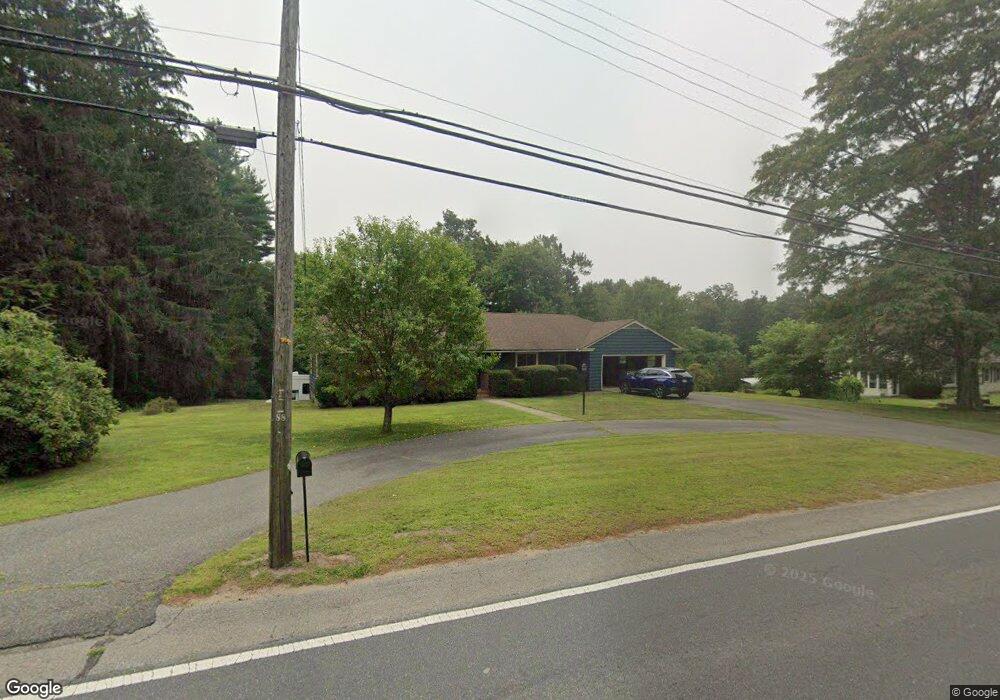
This home is located at 296 Palmer Rd, Ware, MA 01082 and is currently estimated at $344,665, approximately $243 per square foot. 296 Palmer Rd is a home located in Hampshire County with nearby schools including Stanley M. Koziol Elementary School, Ware Middle School, and Ware Junior/Senior High School.
Ownership History
Date
Name
Owned For
Owner Type
Purchase Details
Closed on
Dec 21, 1993
Sold by
Siddkur Delia S and Szczepanek Edw P
Bought by
Whalley Tammy J and Whalley Jack E
Current Estimated Value
Home Financials for this Owner
Home Financials are based on the most recent Mortgage that was taken out on this home.
Original Mortgage
$105,800
Interest Rate
7.03%
Mortgage Type
Purchase Money Mortgage
Create a Home Valuation Report for This Property
The Home Valuation Report is an in-depth analysis detailing your home's value as well as a comparison with similar homes in the area
Home Values in the Area
Average Home Value in this Area
Purchase History
| Date | Buyer | Sale Price | Title Company |
|---|---|---|---|
| Whalley Tammy J | $103,000 | -- |
Source: Public Records
Mortgage History
| Date | Status | Borrower | Loan Amount |
|---|---|---|---|
| Open | Whalley Tammy J | $74,000 | |
| Closed | Whalley Tammy J | $103,000 | |
| Closed | Whalley Tammy J | $105,800 |
Source: Public Records
Tax History
| Year | Tax Paid | Tax Assessment Tax Assessment Total Assessment is a certain percentage of the fair market value that is determined by local assessors to be the total taxable value of land and additions on the property. | Land | Improvement |
|---|---|---|---|---|
| 2025 | $4,251 | $282,300 | $47,700 | $234,600 |
| 2024 | $4,066 | $249,000 | $45,000 | $204,000 |
| 2023 | $4,044 | $234,300 | $43,300 | $191,000 |
| 2022 | $4,034 | $208,600 | $40,100 | $168,500 |
| 2021 | $3,959 | $196,200 | $40,100 | $156,100 |
| 2020 | $3,850 | $186,600 | $40,100 | $146,500 |
| 2019 | $3,771 | $186,600 | $40,100 | $146,500 |
| 2018 | $3,705 | $175,600 | $39,000 | $136,600 |
| 2017 | $3,696 | $161,400 | $39,000 | $122,400 |
| 2016 | $3,262 | $161,400 | $39,000 | $122,400 |
| 2015 | $3,172 | $161,400 | $39,000 | $122,400 |
| 2014 | $3,078 | $168,100 | $39,600 | $128,500 |
Source: Public Records
Map
Nearby Homes
- 310 Palmer Rd
- 201 West St
- LOT 3 Monson Turnpike Rd
- 201 Belchertown Rd
- 67 Babcock Tavern Rd
- 24 Clinton St
- 87 W Main St
- 375 Belchertown Rd
- 30 Warebrook Village
- Lot 16 Coldbrook Dr
- Lot 20 Coldbrook Dr
- Lot 22 Coldbrook Dr
- Lot 13 Coldbrook Dr
- Lot 25 Coldbrook Dr
- 23 West St Unit 25
- 7 Webb Ct
- 378 Rondeau St
- 60 Quaboag Valley Co Op St
- 44 South St
- 48 North St Unit 1
Your Personal Tour Guide
Ask me questions while you tour the home.