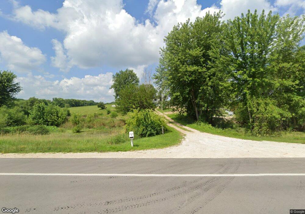
2970 Highway 67 Camanche, IA 52730
Estimated Value: $322,000 - $451,909
3
Beds
2
Baths
3,360
Sq Ft
$112/Sq Ft
Est. Value
About This Home
This home is located at 2970 Highway 67, Camanche, IA 52730 and is currently estimated at $377,977, approximately $112 per square foot. 2970 Highway 67 is a home located in Clinton County with nearby schools including Camanche Elementary School, Camanche Middle School, and Camanche High School.
Ownership History
Date
Name
Owned For
Owner Type
Purchase Details
Closed on
Aug 12, 2013
Sold by
Beyer Gary P and Beyer Donna L
Bought by
Leibert Loren J and Leibert Cathy L
Current Estimated Value
Home Financials for this Owner
Home Financials are based on the most recent Mortgage that was taken out on this home.
Original Mortgage
$175,500
Interest Rate
4.25%
Mortgage Type
New Conventional
Create a Home Valuation Report for This Property
The Home Valuation Report is an in-depth analysis detailing your home's value as well as a comparison with similar homes in the area
Home Values in the Area
Average Home Value in this Area
Purchase History
| Date | Buyer | Sale Price | Title Company |
|---|---|---|---|
| Leibert Loren J | $195,000 | None Available |
Source: Public Records
Mortgage History
| Date | Status | Borrower | Loan Amount |
|---|---|---|---|
| Closed | Leibert Loren J | $175,500 |
Source: Public Records
Tax History Compared to Growth
Tax History
| Year | Tax Paid | Tax Assessment Tax Assessment Total Assessment is a certain percentage of the fair market value that is determined by local assessors to be the total taxable value of land and additions on the property. | Land | Improvement |
|---|---|---|---|---|
| 2025 | $4,412 | $357,970 | $27,370 | $330,600 |
| 2024 | $4,412 | $325,090 | $27,370 | $297,720 |
| 2023 | $4,312 | $325,090 | $27,370 | $297,720 |
| 2022 | $3,148 | $305,090 | $27,370 | $277,720 |
| 2021 | $3,068 | $214,250 | $9,500 | $204,750 |
| 2020 | $3,068 | $204,500 | $9,500 | $195,000 |
| 2019 | $2,784 | $204,500 | $0 | $0 |
| 2018 | $2,958 | $204,500 | $0 | $0 |
| 2017 | $3,006 | $204,500 | $0 | $0 |
| 2016 | $2,786 | $194,900 | $0 | $0 |
| 2015 | $2,786 | $178,700 | $0 | $0 |
| 2014 | $2,582 | $170,610 | $0 | $0 |
| 2013 | $2,376 | $0 | $0 | $0 |
Source: Public Records
Map
Nearby Homes
- 21116 River Rd N
- 21812 River Rd
- 4033 Eden Ct
- 4037 Eden Ct
- 4026 Eden Ct
- 4038 Rock Creek Ct
- 419 3rd St
- 0 240 St Unit NOC6329441
- 26805 255th Ave
- 3473 270th St
- 16808 River Rd N
- 104 W Bennett St
- 404 Crossroads Ave
- 110 8th St S
- 104 Illinois 84
- 2242 S Washington Blvd
- 1917 11th St
- 1005 2nd St
- 1023 2nd St
- 603 9th Ave
- 2968 Highway 67
- 2971 Highway 67
- 2971 U S 67
- 2966 Highway 67
- 2969 Highway 67
- 2975 Highway 67
- 2967 Highway 67
- 2967 U S 67
- 2965 Highway 67
- 2963 U S 67
- 2961 Highway 67
- 2959 Highway 67
- 2957 Highway 67
- 2956 Highway 67
- 2955 Highway 67
- 2954 Highway 67
- 2953 Highway 67
- 2952 Highway 67
- 2952 Highway 67
- 3803 292nd St