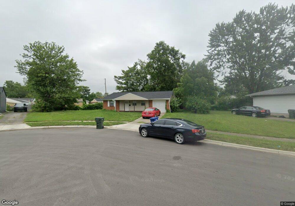
2970 Queensrowe Dr Columbus, OH 43227
Linwood NeighborhoodEstimated Value: $139,669 - $226,000
3
Beds
1
Bath
1,034
Sq Ft
$166/Sq Ft
Est. Value
About This Home
This home is located at 2970 Queensrowe Dr, Columbus, OH 43227 and is currently estimated at $171,667, approximately $166 per square foot. 2970 Queensrowe Dr is a home located in Franklin County with nearby schools including Scottwood Elementary School, Johnson Park Middle School, and Walnut Ridge High School.
Ownership History
Date
Name
Owned For
Owner Type
Purchase Details
Closed on
May 15, 2003
Sold by
Glenn Sally L and Rathburn Sally L
Bought by
Longstreth Craig
Current Estimated Value
Purchase Details
Closed on
May 15, 1973
Bought by
Glenn Sally L
Create a Home Valuation Report for This Property
The Home Valuation Report is an in-depth analysis detailing your home's value as well as a comparison with similar homes in the area
Home Values in the Area
Average Home Value in this Area
Purchase History
| Date | Buyer | Sale Price | Title Company |
|---|---|---|---|
| Longstreth Craig | $52,000 | Title First Agency Inc | |
| Glenn Sally L | -- | -- |
Source: Public Records
Tax History
| Year | Tax Paid | Tax Assessment Tax Assessment Total Assessment is a certain percentage of the fair market value that is determined by local assessors to be the total taxable value of land and additions on the property. | Land | Improvement |
|---|---|---|---|---|
| 2025 | $2,096 | $43,120 | $13,090 | $30,030 |
| 2024 | $2,096 | $43,120 | $13,090 | $30,030 |
| 2023 | $1,951 | $43,120 | $13,090 | $30,030 |
| 2022 | $1,250 | $23,520 | $8,400 | $15,120 |
| 2021 | $1,252 | $23,520 | $8,400 | $15,120 |
| 2020 | $1,254 | $23,520 | $8,400 | $15,120 |
| 2019 | $1,213 | $19,500 | $7,000 | $12,500 |
| 2018 | $1,166 | $19,500 | $7,000 | $12,500 |
| 2017 | $1,222 | $19,500 | $7,000 | $12,500 |
| 2016 | $1,232 | $18,140 | $5,360 | $12,780 |
| 2015 | $1,122 | $18,140 | $5,360 | $12,780 |
| 2014 | $1,125 | $18,140 | $5,360 | $12,780 |
| 2013 | $616 | $20,125 | $5,950 | $14,175 |
Source: Public Records
Map
Nearby Homes
- 1637 S James Rd
- 2840 Manola Dr
- 2813 Kingsrowe Ct Unit 43
- 1884 Barnett Ct W
- 2942 Arrowhead Ct
- 3038 Wadsworth Ct
- 3036 Wadsworth Ct
- 2731 Sonata Dr
- 1624 Miltwood Rd
- 2639 Halleck Dr
- 3325 E Deshler Ave
- 3355 E Deshler Ave
- 0 Rotunda Dr Unit 271
- 1423 Cottingham Ct E
- 2278 Wadsworth Dr Unit D
- 3428 LIV Moor Dr
- 1341 Millerdale Rd
- 3369 Petzinger Rd
- 3135 Easthaven Dr S
- 3457 Roswell Dr
- 2986 Queensrowe Dr
- 2966 Queensrowe Dr
- 3000 Queensrowe Dr
- 1807 Penfield Rd
- 1803 Penfield Rd
- 2961 Queensrowe Dr
- 3010 Queensrowe Dr
- 1795 Penfield Rd
- 1789 Penfield Rd
- 1811 Penfield Rd
- 3024 Queensrowe Dr
- 2965 Queensrowe Dr
- 2977 Queensrowe Dr
- 2989 Queensrowe Dr
- 2995 Queensrowe Dr
- 1815 Penfield Rd
- 1783 Penfield Rd
- 3030 Queensrowe Dr
- 2985 Queensrowe Dr
- 3025 Queensrowe Dr
Your Personal Tour Guide
Ask me questions while you tour the home.