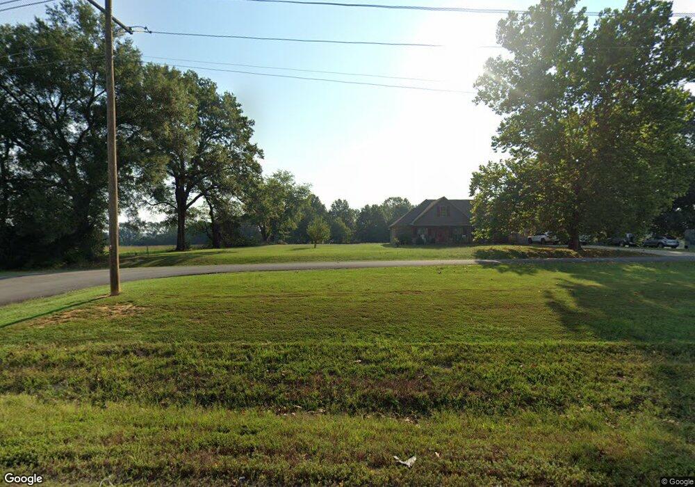
298 Highway 285 N Greenbrier, AR 72058
Estimated Value: $230,000 - $312,000
--
Bed
2
Baths
1,332
Sq Ft
$194/Sq Ft
Est. Value
About This Home
This home is located at 298 Highway 285 N, Greenbrier, AR 72058 and is currently estimated at $259,053, approximately $194 per square foot. 298 Highway 285 N is a home located in Faulkner County with nearby schools including Greenbrier Wooster Elementary School, Greenbrier Junior High School, and Greenbrier High School.
Ownership History
Date
Name
Owned For
Owner Type
Purchase Details
Closed on
Dec 14, 2006
Bought by
Amanda
Current Estimated Value
Purchase Details
Closed on
Dec 13, 2006
Bought by
Amanda
Purchase Details
Closed on
May 29, 2003
Bought by
Right Of Way Instrument
Purchase Details
Closed on
Jan 17, 2003
Bought by
Tytler
Purchase Details
Closed on
May 22, 1997
Bought by
Dolores
Purchase Details
Closed on
Dec 3, 1993
Bought by
No Stamps
Purchase Details
Closed on
Jan 24, 1993
Bought by
No Stamps
Create a Home Valuation Report for This Property
The Home Valuation Report is an in-depth analysis detailing your home's value as well as a comparison with similar homes in the area
Home Values in the Area
Average Home Value in this Area
Purchase History
| Date | Buyer | Sale Price | Title Company |
|---|---|---|---|
| Amanda | -- | -- | |
| Amanda | -- | -- | |
| Right Of Way Instrument | -- | -- | |
| Tytler | $18,000 | -- | |
| Dolores | -- | -- | |
| No Stamps | -- | -- | |
| No Stamps | -- | -- |
Source: Public Records
Tax History Compared to Growth
Tax History
| Year | Tax Paid | Tax Assessment Tax Assessment Total Assessment is a certain percentage of the fair market value that is determined by local assessors to be the total taxable value of land and additions on the property. | Land | Improvement |
|---|---|---|---|---|
| 2025 | $1,738 | $51,040 | $10,740 | $40,300 |
| 2024 | $1,673 | $51,040 | $10,740 | $40,300 |
| 2023 | $1,593 | $39,060 | $10,740 | $28,320 |
| 2022 | $1,189 | $39,060 | $10,740 | $28,320 |
| 2021 | $1,119 | $39,060 | $10,740 | $28,320 |
| 2020 | $1,050 | $28,150 | $6,040 | $22,110 |
| 2019 | $1,050 | $28,150 | $6,040 | $22,110 |
| 2018 | $1,075 | $28,150 | $6,040 | $22,110 |
| 2017 | $1,075 | $28,150 | $6,040 | $22,110 |
| 2016 | $882 | $24,220 | $6,040 | $18,180 |
| 2015 | $1,126 | $24,320 | $6,040 | $18,280 |
| 2014 | $816 | $24,320 | $6,040 | $18,280 |
Source: Public Records
Map
Nearby Homes
- 000 Irene Cir
- 00 Irene Cir
- 529 Highway 225 W
- 270 Arrowhead Rd
- 35 Watson Dr
- 422 Highway 225 W
- 20 Fox Run Ln
- 101 Burgess Ln
- 138 Union Rd
- 5 Hargrove Rd
- 12 Bullet Davis Dr
- 22 Ules Watson Dr
- 38 Ules Watson Dr
- 342 Burkett Flat Rd
- 26 Ules Watson Dr
- 11 Sandy Ln
- 49 Ules Watson Dr
- 3 Corbin Cove
- 8 Lael Cove
- 81 Lewis Loop
- 314 Highway 285 N
- 310 Highway 285 N
- 292 Highway 285 N
- 328 Highway 285 N
- 287 Highway 285 N
- 330 Highway 285 N
- 6 Union Rd
- 297 Highway 285 N
- 7 Union Rd
- 8 Union Rd
- 335 Highway 285 N
- 268 Highway 285 N
- 14 Union Rd
- 11 Union Rd
- 272 Highway 285 N
- 262 Highway 285 N
- 337 Highway 285 N
- 40 Forest View Ln
- 195 Irene Cir
- 251 Highway 285 N