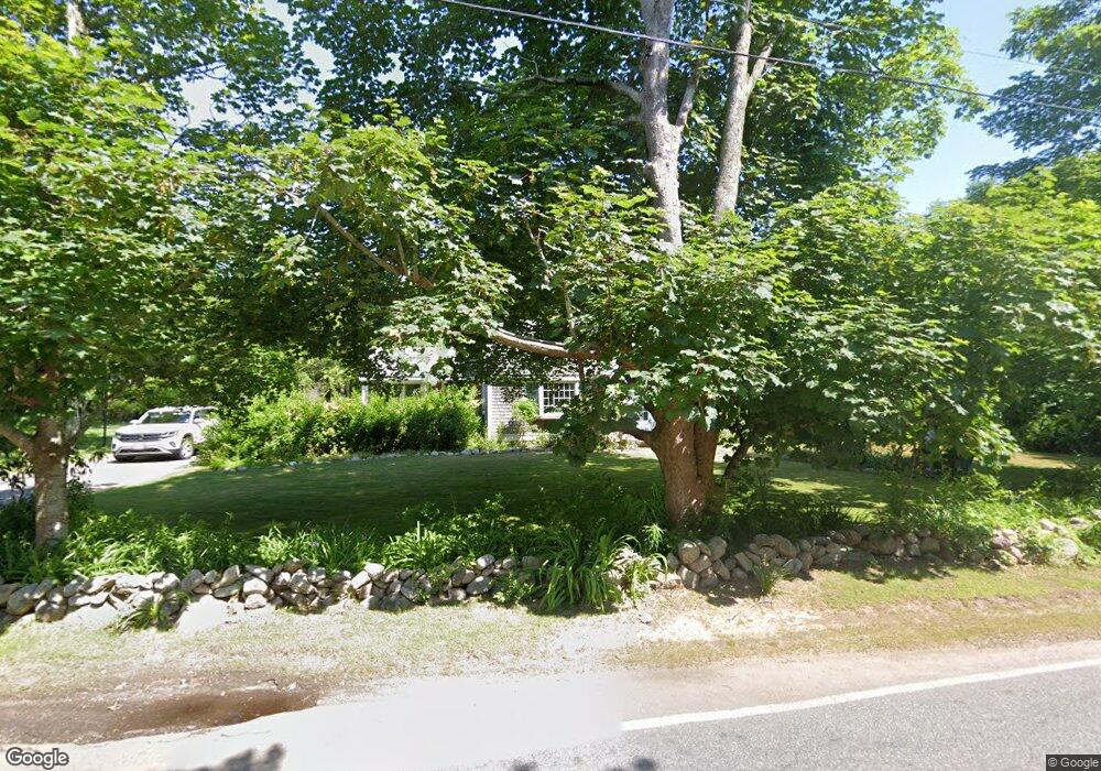
298 Parker Rd West Barnstable, MA 02668
West Barnstable NeighborhoodEstimated Value: $655,000 - $769,000
4
Beds
2
Baths
1,501
Sq Ft
$476/Sq Ft
Est. Value
About This Home
This home is located at 298 Parker Rd, West Barnstable, MA 02668 and is currently estimated at $714,026, approximately $475 per square foot. 298 Parker Rd is a home located in Barnstable County with nearby schools including West Barnstable Elementary School, Barnstable United Elementary School, and Barnstable Intermediate School.
Ownership History
Date
Name
Owned For
Owner Type
Purchase Details
Closed on
May 18, 2010
Sold by
Gelson Andrew F and Gelson Nancy C
Bought by
Belifore Colleen A
Current Estimated Value
Home Financials for this Owner
Home Financials are based on the most recent Mortgage that was taken out on this home.
Original Mortgage
$207,000
Outstanding Balance
$139,151
Interest Rate
5.11%
Mortgage Type
Purchase Money Mortgage
Estimated Equity
$574,875
Purchase Details
Closed on
Oct 30, 1998
Sold by
Soininen-Rivard H
Bought by
Gelson Nancy C
Home Financials for this Owner
Home Financials are based on the most recent Mortgage that was taken out on this home.
Original Mortgage
$139,400
Interest Rate
6.68%
Mortgage Type
Purchase Money Mortgage
Create a Home Valuation Report for This Property
The Home Valuation Report is an in-depth analysis detailing your home's value as well as a comparison with similar homes in the area
Home Values in the Area
Average Home Value in this Area
Purchase History
| Date | Buyer | Sale Price | Title Company |
|---|---|---|---|
| Belifore Colleen A | $270,000 | -- | |
| Gelson Nancy C | $154,900 | -- |
Source: Public Records
Mortgage History
| Date | Status | Borrower | Loan Amount |
|---|---|---|---|
| Open | Belifore Colleen A | $207,000 | |
| Previous Owner | Gelson Nancy C | $50,000 | |
| Previous Owner | Gelson Nancy C | $139,400 |
Source: Public Records
Tax History Compared to Growth
Tax History
| Year | Tax Paid | Tax Assessment Tax Assessment Total Assessment is a certain percentage of the fair market value that is determined by local assessors to be the total taxable value of land and additions on the property. | Land | Improvement |
|---|---|---|---|---|
| 2025 | $5,949 | $636,900 | $307,100 | $329,800 |
| 2024 | $5,279 | $615,300 | $307,100 | $308,200 |
| 2023 | $5,261 | $577,500 | $304,500 | $273,000 |
| 2022 | $4,762 | $428,600 | $196,800 | $231,800 |
| 2021 | $1,662 | $409,100 | $209,200 | $199,900 |
| 2020 | $5,070 | $418,300 | $235,700 | $182,600 |
| 2019 | $5,046 | $410,900 | $248,700 | $162,200 |
| 2018 | $4,804 | $387,700 | $248,100 | $139,600 |
| 2017 | $1,376 | $387,800 | $255,000 | $132,800 |
| 2016 | $4,652 | $388,000 | $255,200 | $132,800 |
| 2015 | $4,684 | $391,600 | $244,800 | $146,800 |
Source: Public Records
Map
Nearby Homes
- 282 Parker Rd
- 350 & 360 Plum St
- 9 Locust Ave
- 650 Parker Ln
- 2400 Meetinghouse Way
- 50 Currycomb Cir
- 40 Appaloosa Way
- 2414 Meetinghouse Way
- 28 Appaloosa Way
- 1825 Main St
- 134 Great Hill Dr
- 329 Woodside Rd
- 74 Saddler Ln
- 56 Allan Rd
- 780 Main St
- 209 Patriot Way
- 2181 Service Rd
- 339 Cedar St
- 1044 Old Falmouth Rd
- 61 Branch Terrace