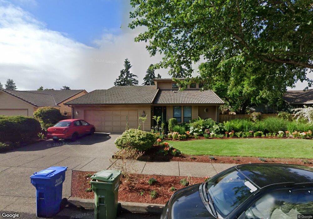
2988 Elysium Ave Eugene, OR 97401
Harlow NeighborhoodEstimated Value: $435,245 - $481,000
3
Beds
2
Baths
1,278
Sq Ft
$361/Sq Ft
Est. Value
About This Home
This home is located at 2988 Elysium Ave, Eugene, OR 97401 and is currently estimated at $461,061, approximately $360 per square foot. 2988 Elysium Ave is a home located in Lane County with nearby schools including Holt Elementary School, Monroe Middle School, and Sheldon High School.
Ownership History
Date
Name
Owned For
Owner Type
Purchase Details
Closed on
Aug 30, 2005
Sold by
Dillin Philip Lee
Bought by
Schott Patrick E
Current Estimated Value
Home Financials for this Owner
Home Financials are based on the most recent Mortgage that was taken out on this home.
Original Mortgage
$114,500
Outstanding Balance
$59,693
Interest Rate
5.64%
Mortgage Type
Fannie Mae Freddie Mac
Estimated Equity
$401,368
Create a Home Valuation Report for This Property
The Home Valuation Report is an in-depth analysis detailing your home's value as well as a comparison with similar homes in the area
Home Values in the Area
Average Home Value in this Area
Purchase History
| Date | Buyer | Sale Price | Title Company |
|---|---|---|---|
| Schott Patrick E | $208,500 | First American Title |
Source: Public Records
Mortgage History
| Date | Status | Borrower | Loan Amount |
|---|---|---|---|
| Open | Schott Patrick E | $114,500 |
Source: Public Records
Tax History
| Year | Tax Paid | Tax Assessment Tax Assessment Total Assessment is a certain percentage of the fair market value that is determined by local assessors to be the total taxable value of land and additions on the property. | Land | Improvement |
|---|---|---|---|---|
| 2025 | $5,061 | $259,774 | -- | -- |
| 2024 | $4,998 | $252,208 | -- | -- |
| 2023 | $4,998 | $244,863 | $0 | $0 |
| 2022 | $4,683 | $237,732 | $0 | $0 |
| 2021 | $4,398 | $230,808 | $0 | $0 |
| 2020 | $4,348 | $224,086 | $0 | $0 |
| 2019 | $4,139 | $217,560 | $0 | $0 |
| 2018 | $3,820 | $205,072 | $0 | $0 |
| 2017 | $3,584 | $205,072 | $0 | $0 |
| 2016 | $3,425 | $199,099 | $0 | $0 |
| 2015 | $3,295 | $193,300 | $0 | $0 |
| 2014 | $3,244 | $187,670 | $0 | $0 |
Source: Public Records
Map
Nearby Homes
- 1993 Best Ln
- 2577 Elysium Ave
- 1794 Kings St N
- 3090 Willakenzie Rd
- 2611 Erin Way
- 2420 Willona Dr
- 2065 Providence St
- 0 Sprig Ln Unit Lot 3
- 0 Sprig Ln Unit Lot 3 766109892
- 2329 Willona Park
- 2707 Dayna Ln
- 2645 Chuckanut St
- 2889 Kinney Loop
- 2752 Dayna Ln
- 1564 Regency Dr
- 2776 Dayna Ln
- 1491 Victorian Way
- 2423 Benson Ln
- 2267 Willona Dr
- 3025 Bailey Ln
- 2976 Elysium Ave
- 2994 Elysium Ave
- 1920 Best Ln
- 2987 Elysium Ave
- 2964 Elysium Ave
- 2993 Elysium Ave
- 1961 Finch Ln
- 2944 Elysium Ave
- 2936 Elysium Ave
- 1943 Best Ln
- 2952 Elysium Ave
- 1955 Best Ln
- 1980 Best Ln
- 1931 Best Ln
- 1973 Finch Ln
- 2948 Elysium Ave
- 1967 Best Ln
- 1962 Finch Ln
- 2932 Elysium Ave
- 1979 Best Ln
Your Personal Tour Guide
Ask me questions while you tour the home.