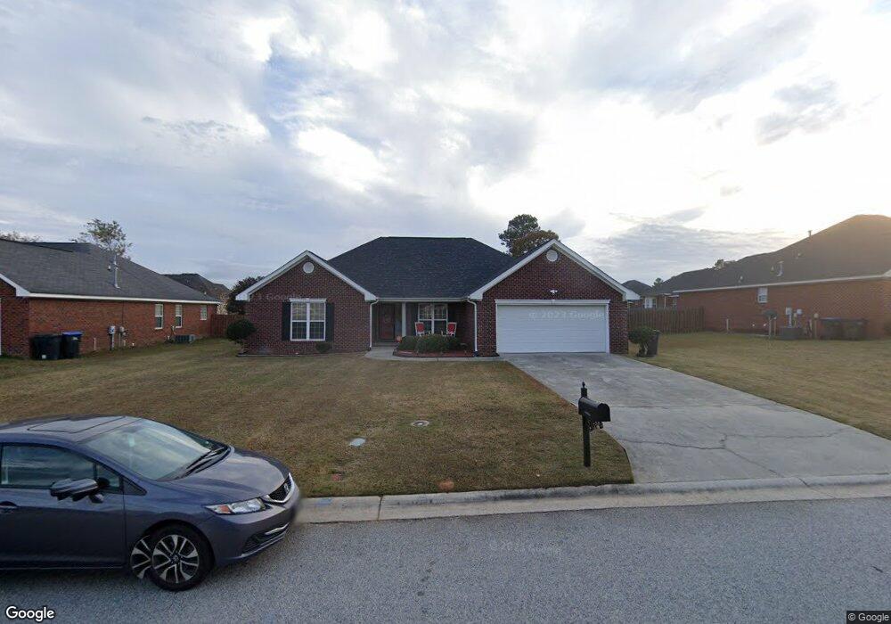
2996 Clarkston Rd Augusta, GA 30909
Belair NeighborhoodEstimated Value: $281,000 - $310,000
4
Beds
2
Baths
1,968
Sq Ft
$148/Sq Ft
Est. Value
About This Home
This home is located at 2996 Clarkston Rd, Augusta, GA 30909 and is currently estimated at $291,636, approximately $148 per square foot. 2996 Clarkston Rd is a home located in Richmond County with nearby schools including Sue Reynolds Elementary School, Johnson Magnet, and Academy of Richmond County High School.
Ownership History
Date
Name
Owned For
Owner Type
Purchase Details
Closed on
Apr 3, 2025
Sold by
Lewis Anne M
Bought by
Nipple Gary and Nipple Kovey
Current Estimated Value
Purchase Details
Closed on
Jan 26, 2011
Sold by
Lewis Anne M
Bought by
Lewis Anne M
Home Financials for this Owner
Home Financials are based on the most recent Mortgage that was taken out on this home.
Original Mortgage
$165,038
Interest Rate
4.87%
Mortgage Type
FHA
Purchase Details
Closed on
Aug 25, 2005
Sold by
Keystone Homes Inc
Bought by
Lewis Nipple Anne M
Home Financials for this Owner
Home Financials are based on the most recent Mortgage that was taken out on this home.
Original Mortgage
$174,757
Interest Rate
5.77%
Create a Home Valuation Report for This Property
The Home Valuation Report is an in-depth analysis detailing your home's value as well as a comparison with similar homes in the area
Home Values in the Area
Average Home Value in this Area
Purchase History
| Date | Buyer | Sale Price | Title Company |
|---|---|---|---|
| Nipple Gary | -- | -- | |
| Lewis Anne M | -- | -- | |
| Lewis Nipple Anne M | $177,500 | -- |
Source: Public Records
Mortgage History
| Date | Status | Borrower | Loan Amount |
|---|---|---|---|
| Previous Owner | Lewis Anne M | $165,038 | |
| Previous Owner | Lewis Nipple Anne M | $174,757 |
Source: Public Records
Tax History
| Year | Tax Paid | Tax Assessment Tax Assessment Total Assessment is a certain percentage of the fair market value that is determined by local assessors to be the total taxable value of land and additions on the property. | Land | Improvement |
|---|---|---|---|---|
| 2025 | $3,512 | $118,204 | $14,320 | $103,884 |
| 2024 | $3,512 | $115,696 | $14,320 | $101,376 |
| 2023 | $2,520 | $107,136 | $14,320 | $92,816 |
| 2022 | $3,094 | $101,351 | $14,320 | $87,031 |
| 2021 | $2,621 | $77,399 | $14,320 | $63,079 |
| 2020 | $2,579 | $77,399 | $14,320 | $63,079 |
| 2019 | $2,557 | $71,817 | $14,320 | $57,497 |
Source: Public Records
Map
Nearby Homes
- 4623 Crested Butte Rd
- 3312 Camak Dr
- 4086 Harper Franklin Ave
- 2608 Clarkston Ct
- 4545 Logans Way
- 4421 Silverton Rd
- 3410 Camak Dr
- 4573 Logans Way
- 4002 Cottingham Way
- 3645 Crawfordville Dr
- 2977 Galahad Way
- 4027 Madison Ln
- 4026 Cottingham Way
- 4042 Cottingham Way
- 1056 Burlington Dr
- 1038 Burlington Dr
- 3025 Brockham Ct
- 2952 Bridgeport Dr
- 5005 Charlie Dr
- 5118 Devon Ln
- 2998 Clarkston Rd
- 2990 Clarkston Rd
- 2984 Clarkston Rd
- 3002 Clarkston Rd
- 3434 Covington Ct
- 3433 Covington Ct
- 2982 Clarkston Rd
- 2995 Clarkston Rd
- 2801 Almon Rd
- 2993 Clarkston Rd
- 3004 Clarkston Rd
- 2980 Clarkston Rd
- 3431 Covington Ct
- 3001 Clarkston Rd
- 2991 Clarkston Rd
- 2987 Clarkston Rd
- 3006 Clarkston Rd
- 2985 Clarkston Rd
- 3432 Covington Ct
- 2978 Clarkston Rd
Your Personal Tour Guide
Ask me questions while you tour the home.